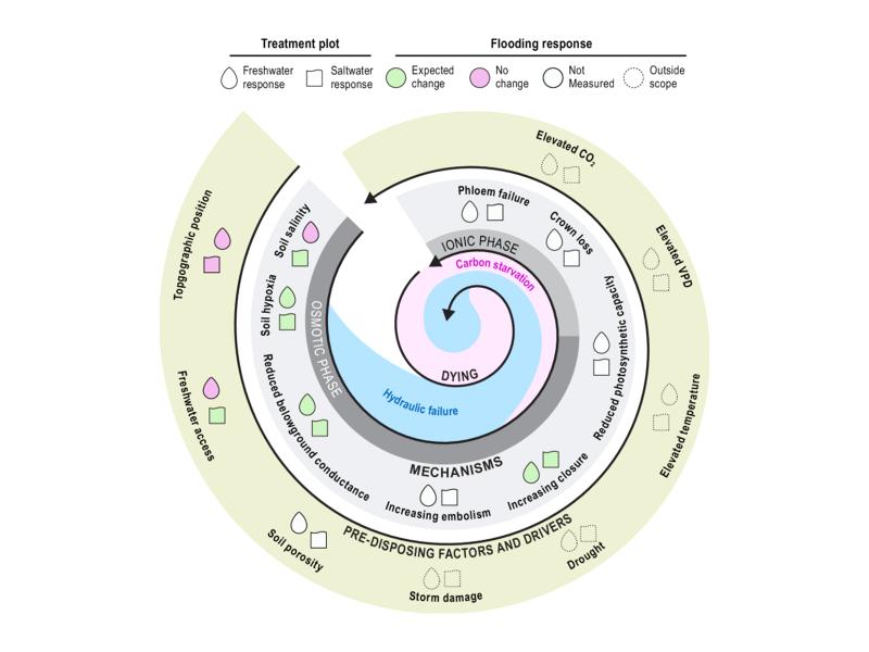
Short-term flooding of an experimental coastal forest impacted soils but not trees, with implications for understanding ecosystem disturbance responses.
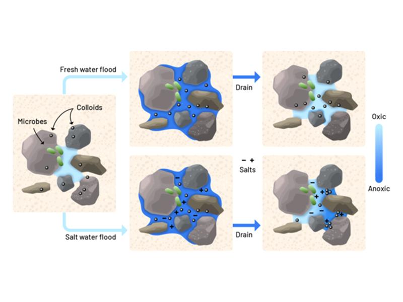
Lab experiments show that just a few saltwater pulses can rapidly alter soil pore structure and reduce oxygen flow, stressing tree roots in coastal forest soils.
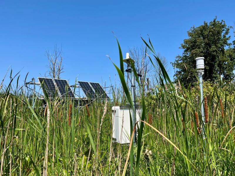
Newly designed sensor network comprehensively monitors a range of coastal landscapes to better understand nutrient and elemental dynamics that drive ecosystem function.
PNNL has developed a next-generation electrical resistivity tomography system for DOE that uses E4D software and AI-enhanced modeling to produce real-time subsurface images that help guide environmental remediation decisions.
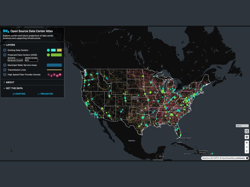
Now, anyone can easily explore and access data from a nationwide map of data centers, the infrastructure that powers them, and projections of future data center locations.
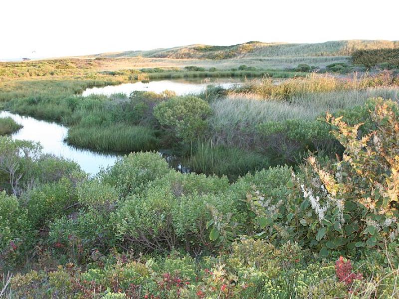
Due to their inherent variability and complexity over space and time, scientists are challenged to understand the complex interactions among soil, vegetation, and water along coastal terrestrial-aquatic interfaces.
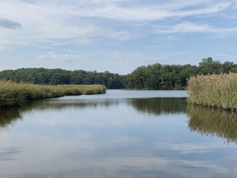
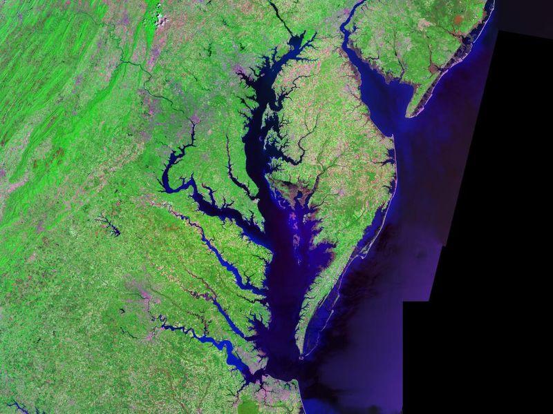
The Coastal Observations, Mechanisms, and Predictions Across Systems and Scales: Field, Measurements, and Experiments project established a network of observational field sites across Chesapeake Bay and western Lake Erie.
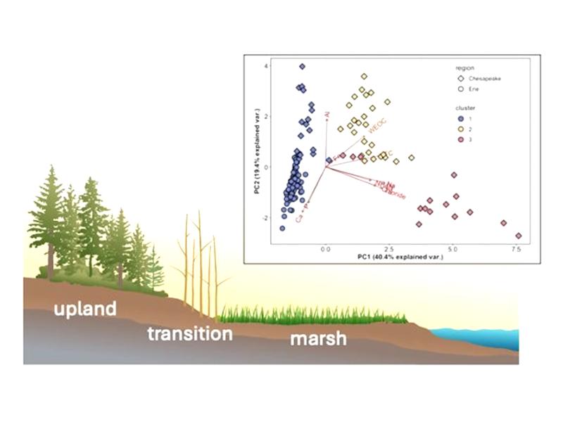
This study characterized above- and below-ground properties to explore the spatial heterogeneity of the terrestrial aquatic interface ecosystem within the Chesapeake Bay area and evaluate the major drivers of soil respiration.
New datasets delineating global urban land support scientific research, application, and policy, but they can produce different results when applied to the same problem making it difficult for researchers to decide which to use.
The demand for energy is growing—and so is the technology supporting it. However, future development of power generation technologies could be affected by a key factor: material supply.