Wind Resource
Characterization
Wind Resource
Characterization
Characterizing wind
for forecasting accuracy
Characterizing wind
for forecasting accuracy
PNNL has modeling, instrumentation, and data management expertise to improve accuracy of wind forecasts.
Shannon Colson, PNNL
Capability Overview
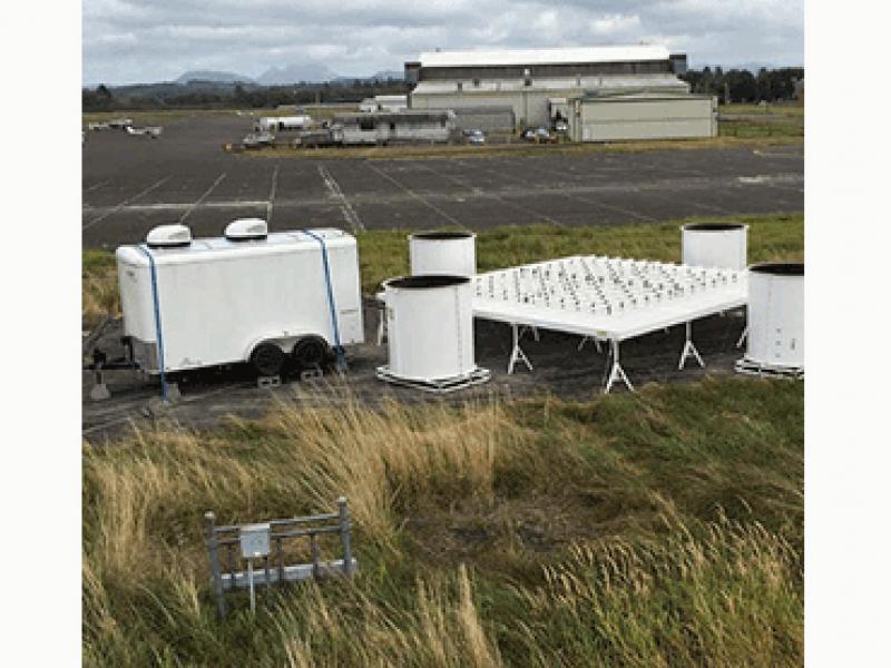
Through observational data collection, simulation, and testing based on improved and more accurate wind data, Pacific Northwest National Laboratory (PNNL) is bringing model parameters to greater certainty. With more confidence in the model forecasts, the power industry can better integrate wind power into the electric grid as a more affordable and reliable energy source.
Challenges and Solutions
Before energy operators build wind plants, they need confidence that they can supply a sufficient stream of low-cost wind energy to business and homeowners. For that confidence, they need a better idea of when, how strong, and with what variability the wind will blow. Once a wind plant begins operation, operators also need accurate forecasts for managing their production relative to wind energy markets.
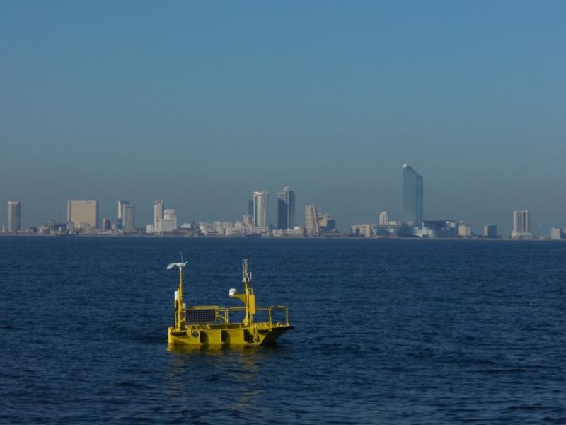
PNNL is addressing these challenges through collaborative research that advances the industry’s understanding of the wind plant operating environment. For example, PNNL research gathers and publishes observational and model data to address questions about ocean-wave-atmosphere interactions, wind turbine wakes and aerodynamics, cloud and precipitation impacts, and more. Such knowledge helps reduce the uncertainty and risk for wind energy stakeholders, which both facilitates wind energy development and lowers associated costs.

