Atmospheric Radiation Measurement User Facility
Observatories and long-term data advancing atmospheric and climate research

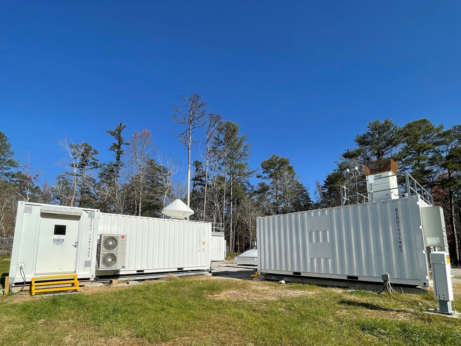
A Ka-Band ARM Zenith Radar (left) sits next to the Raman lidar and ceilometer (right) at ARM’s Bankhead National Forest observatory in northern Alabama. These instruments provide data for researchers to study atmospheric processes.
Image courtesy of the U.S. Department of Energy Atmospheric Radiation Measurement (ARM) User Facility.
The Atmospheric Radiation Measurement (ARM) User Facility is a key contributor to atmospheric research efforts. ARM offers scientists advanced ground-based observatories, crewed and uncrewed aerial facilities, and over 30 years of continuous measurements of cloud and aerosol properties for studying their impacts on Earth’s energy balance.
The objective is to advance basic science questions for understanding the Earth’s atmosphere and the representation of atmospheric processes in global-scale Earth system models.
ARM operates observatories around the world that collect comprehensive and continuous atmospheric measurements. These data are provided freely to the research community to support the study of the interactions among clouds, aerosols, precipitation, and the surface energy balance.
In addition, ARM’s high-resolution modeling, computing resources, and analytical tools help scientists apply the measurements to pressing science issues, including the evaluation and improvement of global-scale atmospheric models.
PNNL science staff manage the overall technical direction for ARM and provide leadership for key facility elements, including the aerial facility, engineering processes, multiple instrument classes, data product development, communications, and procurements. PNNL is one of nine Department of Energy national laboratories contributing to the management and operation of ARM.