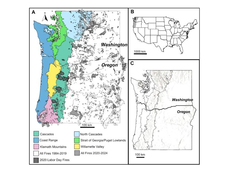
A new modeling approach uses burn severity maps to test how reduced infiltration shifts surface water from soil penetration into streams after wildfire.
Model simulations in humid and semi-arid basins revealed distinct thresholds where wildfires begin to significantly alter river water flows and dissolved nutrient transport.
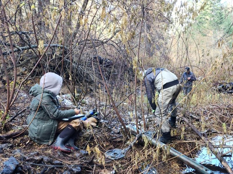
Across 47 sites in the Yakima River Basin of Washington State, faster oxygen consumption occurred with warmer water, more nutrients, and more suspended solids.
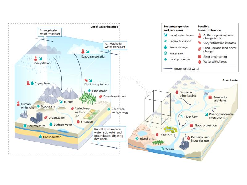
A theoretical index linking precipitation and atmospheric evaporative demand explains historical land humidity changes across observations, reanalyses, and climate models.
Observations, reanalysis, and E3SMv3 experiments linked inter-annual variability of Congo Basin surface temperature to the zonal position of precipitation over the Indo-Pacific maritime continent region.
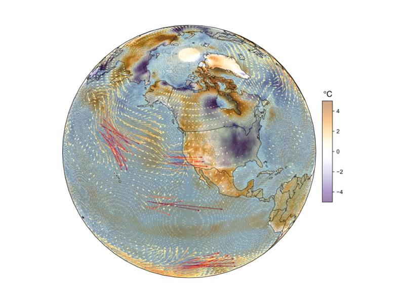
Quasi-stationary Rossby waves shape North American temperature extremes, but higher model resolution does not always improve their modeled representation.
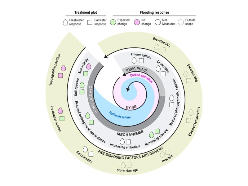
Short-term flooding of an experimental coastal forest impacted soils but not trees, with implications for understanding ecosystem disturbance responses.
Watershed-based representation discretized into topographic subgrid units better captured small-scale land cover, precipitation, temperature, and snow variability across multiple spatial scales.
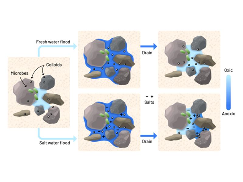
Lab experiments show that just a few saltwater pulses can rapidly alter soil pore structure and reduce oxygen flow, stressing tree roots in coastal forest soils.
Numerical simulations reveal how well-controlled wall temperature and moisture can generate a stratocumulus-like cloud top in a laboratory cloud chamber.