Modeling Water Movement After Wildfires in Pacific Northwest Watersheds
A new modeling approach uses burn severity maps to test how reduced infiltration shifts surface water from soil penetration into streams after wildfire
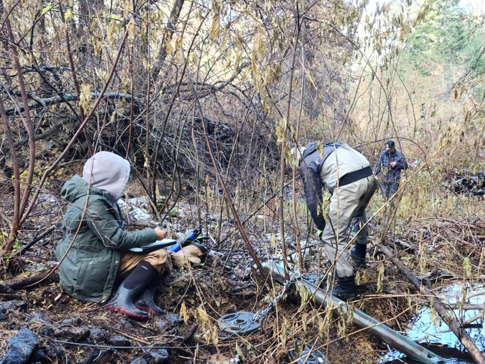
Scientists from the River Corridor Science Focus Area at Pacific Northwest National Laboratory collecting samples from the Oak Creek Watershed after the Retreat Fire occurred in July 2024.
(Image courtesy of Sophia McKever | Pacific Northwest National Laboratory)
The Science
Wildfires can change how water moves through a landscape by altering vegetation and the uppermost soil. In this study, a multi-institutional team of researchers used a computer model called the Advanced Terrestrial Simulator (ATS) to simulate how water travels over the land surface, into and through soils and groundwater, and through plant canopies at the scale of entire watersheds. They added a new fire impact factor called soil water repellency to ATS, which represents the postfire soil changes seen in many burned areas. Soil water repellency is a condition in which the topsoil becomes less able to absorb water, so more precipitation stays near the ground surface and can run off more quickly. The team used satellite-based Monitoring Trends in Burn Severity (MTBS) maps of specific burned land areas to parameterize the fire-induced changes in topsoils. They applied this approach to four Pacific Northwest watersheds affected by large fires and then ran paired simulations that were identical except for whether the fire-related soil changes were included. The team found that simulations with reduced vegetation after a severe fire lowered evapotranspiration, but evapotranspiration recovered in later years when vegetation rebounded. When fire-induced soil permeability changes were included, watersheds with moderate-to-high burn severity produced larger changes in peak streamflow; low burn severity had little impact on flow.
The Impact
After large fires, scientists often struggle to predict how much rain will go into soil versus flow into streams because many watershed models lack an accurate representation of fire-induced changes of soil physical properties to track both surface and subsurface water movement. A research team addressed this issue by adding a new fire module to the ATS numerical model and by using satellite burn severity classes to update near-surface soil properties across four Pacific Northwest watersheds that had all recently burned. The team’s distinct approach also let them simulate postfire responses using hour-by-hour rainfall data, which better represents short-storm events. This new capability in ATS gave hydrologists a transferable framework for assessing fire impacts under various precipitation scenarios and for planning field campaigns that focus on the most influential measurements. It also supports other studies focused on ecology, geomorphology, remote sensing, and watershed biogeochemical modeling.
Summary
A multi-institutional team of researchers used ATS-simulated surface and subsurface water movement in four fire-affected watersheds in the Pacific Northwest. They linked MTBS satellite maps to topsoil changes in the upper 0–5 cm of soil. Postfire simulations used hourly precipitation from the High-Resolution Rapid Refresh (HRRR) dataset. The team identified the 10 largest historical wet-season rainfall events and examined the combined effects of burn severity and storm intensity. The researchers compared scenarios with and without fire-induced changes to isolate the impact of reduced soil permeability and vegetation loss on postfire peak flow discharge. Including soil water repellency produced 18–29 percent higher peak streamflow in watersheds with substantial moderate-to-high burn severity but produced less than 1 percent change in a watershed burned at a lower severity. In addition, reduced surface roughness caused by lost vegetation could still raise the peak flow by 5–19 percent. These elevated peak flows increase the potential for higher flood risks following heavy precipitation. A detailed infiltration analysis estimated an average reduction of 38 percent during the first wet season, which kept deeper soils less saturated during storms. This research demonstrates that a comprehensive, fully distributed hydrologic model such as ATS is important for quantifying how watershed systems respond to fire disturbances.
The initial draft of the text above was created using ChatGPT (version 5.5 or lower, OpenAI). The language and content were subsequently edited by the author for grammar, clarity, and accuracy, and the final document was reviewed by the author.
Research Contact(s)
Xingyuan Chen, River Corridor SFA co-principal investigator
Pacific Northwest National Laboratory
xingyuan.chen@pnnl.gov
James Stegen, River Corridor SFA principal investigator
Pacific Northwest National Laboratory
Funding
This research was supported by the Department of Energy, Office of Science, Biological and Environmental Research program, Environmental System Science program. This research originated from the River Corridor Scientific Focus Area (SFA) at Pacific Northwest National Laboratory (PNNL) and the IDEAS-Watersheds project. This research used resources of the National Energy Research Scientific Computing Center, supported by the Department of Energy, Office of Science. PNNL is operated by Battelle Memorial Institute for the Department of Energy.
Related Links
Published: September 29, 2026
Li Z., Li B., Jiang P., Hammond G. E., Shuai P., Zahura F. T., Coon E. T. and Chen X. 2026. Evaluating post-fire watershed response to varying burn severity and precipitation regimes using fully-distributed and integrated hydrologic models. Journal of Hydrology 664, 134538; https://doi.org/10.1016/j.jhydrol.2025.134538.