September 10, 2026
Research Highlight

A Simple Index Explains Declining Land Humidity

A theoretical index linking precipitation and atmospheric evaporative demand explains historical land humidity changes across observations, reanalyses, and climate models
Land Humidity highlight hero

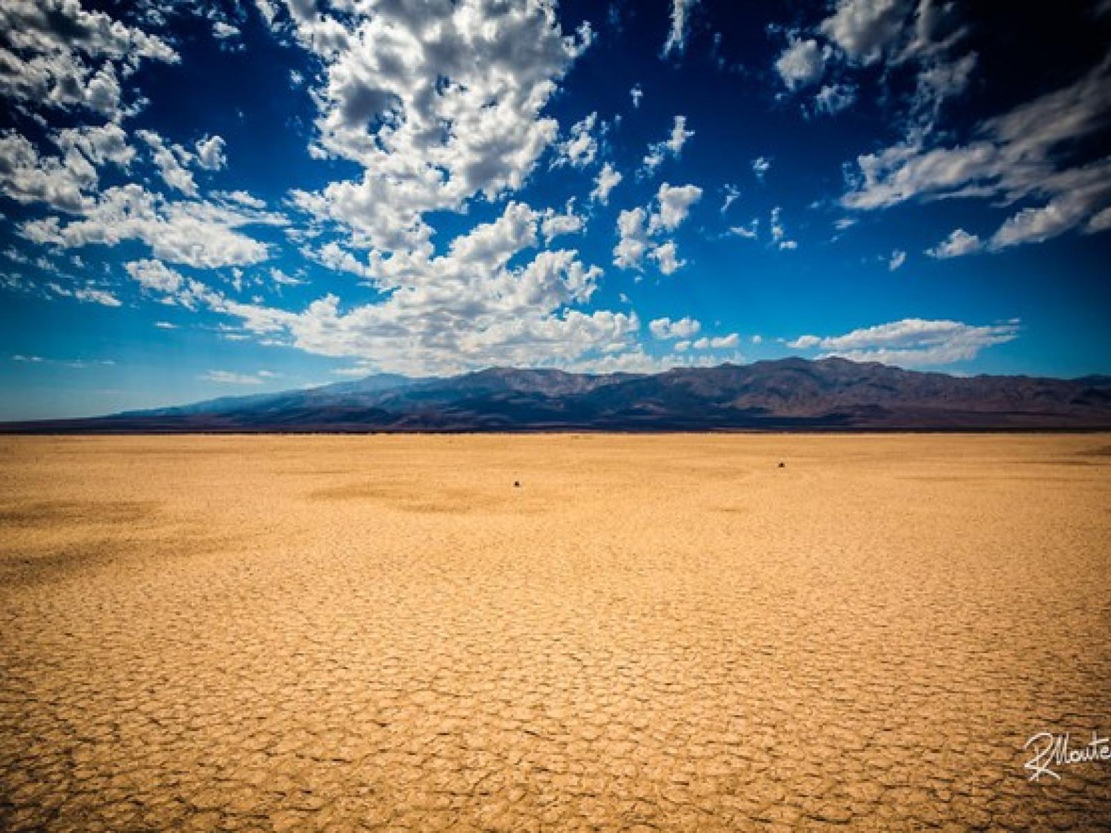
An image of severely dry land. 

(Image: Riccardo Maria Mantero | Flikr )

The Science 

Understanding how relative humidity (RH) over land has changed is important for interpreting hydroclimate trends. However, long-term observations of land RH are sparse, and global reanalysis datasets often contain biases. In addition, the processes controlling humidity over land are complex because they depend on interactions among precipitation, temperature, evapotranspiration, and land–atmosphere coupling. To address this challenge, researchers developed a theoretical wetness index based on the ratio of precipitation to modified potential evapotranspiration. The formulation isolates the physical drivers of humidity change while avoiding dependence on RH itself. Using this index, the study showed that land RH declined substantially between 1973 and 2024 because potential evapotranspiration increased with rising temperatures, while precipitation showed little overall increase. The index successfully reproduced the spatial and temporal variability of land humidity and helped explain differences among observations, reanalysis datasets, and Earth system model simulations.

The Impact 

By combining precipitation with modified potential evapotranspiration, the index captures and explains the distinct land humidity trends across observations, reanalyses, and climate models. The index revealed that some global reanalysis products exaggerate drying trends because of biases in precipitation and temperature, and it provided a method to calibrate the reanalysis. Earth system models simulate a wide range of historical land humidity trends, and most runs underestimate historical land drying. The inter-model spread and the model–observation discrepancy in historical land RH trends are well captured by the index and further attributed to trends in precipitation, evaporative demands, and other dynamic fields. Overall, the index provides a physical calibration of biased land RH in reanalyses and a quantitative framework for interpreting land RH changes.

Summary 

Land surface RH is a key variable in the coupled land–atmosphere system that profoundly influences terrestrial hydroclimate and ecosystems. Yet historical changes in land RH are not well understood due to limited observations, biased reanalyses, and the lack of a framework for interpreting RH changes under multiple influencing factors. Here we show that the spatiotemporal variability of land RH and its distinct historical trends among observations, reanalyses, and Earth system models are captured by a simple index based on the ratio of precipitation (P) to a modified potential evapotranspiration formulated independently of RH. Unlike conventional potential evapotranspiration formulations, PETo is calculated with RH adjusted to the well-watered soil moisture. This consideration of soil moisture feedback reduces the influence of RH on actual evaporation, allowing a physical interpretation of humidity using PETo

Between 1973 and 2024, land RH decreased substantially in observations due to the intrinsic rise in with temperature and little increase in land precipitation. Reanalyses products, such as ERA5, overestimate the observed RH decrease, consistent with exaggerated surface warming and precipitation decline. The index captures this coherent bias and enables a calibration using observed precipitation and temperature. 

Models simulate a wide range of land RH trends, but nearly all runs underrepresent the historical drying. The index captures the model spread and discrepancy and attributes them to contributions of precipitation and PETo. Weaker land RH decreases in models arise mainly from weaker subtropical precipitation declines, linked to muted intensification of subtropical highs and biased subtropical climatology. The model–observation discrepancy is unlikely to be explained by internal variability, implying model underestimation of forced RH decrease and a drier land future than current projections.

Initial text for this research highlight was generated using artificial intelligence and subsequently reviewed, refined, and validated by experts at Pacific Northwest National Laboratory.

Contact 

Renu Joseph, Earth and Environmental System Modeling program, Renu.Joseph@science.doe.gov

L. Ruby Leung, Pacific Northwest National Laboratory, Ruby.Leung@pnnl.gov 

Wenyu Zhou, Pacific Northwest National Laboratory, Wenyu.Zhou@pnnl.gov

Funding 

This study was supported by the Department of Energy, Office of Science, Biological and Environmental Research program as part of the Regional and Global Model Analysis program area through the Water Cycle: Modeling of Circulation, Convection, and Earth System Mechanisms (WACCEM) scientific focus area. Pacific Northwest National Laboratory is operated for the Department of Energy by Battelle Memorial Institute under contract DE-AC05-76RL01830. This research used resources of the National Energy Research Scientific Computing Center, which is supported by the Department of Energy, Office of Science under Contract No. DE-AC02-05CH1123. 

Published: September 10, 2026

Zhou W., Leung L. R., Harrop B. E., Chen Z., Chang C.-C. (2026). A theoretical index for understanding distinct land relative humidity trends in observations, reanalyses, and models. Proceedings of the National Academy of Sciences, 123, e2512645123. https://doi.org/10.1073/pnas.2512645123