PNNL has developed a next-generation electrical resistivity tomography system for DOE that uses E4D software and AI-enhanced modeling to produce real-time subsurface images that help guide environmental remediation decisions.
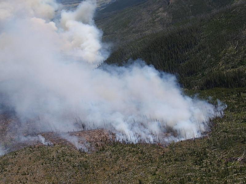
This study used historical data, remote sensing, and aquatic sensors to measure how far wildfire impacts propagated through the watershed after the 2022 Hermit’s Peak/Calf Canyon fire, New Mexico’s largest wildfire in history.
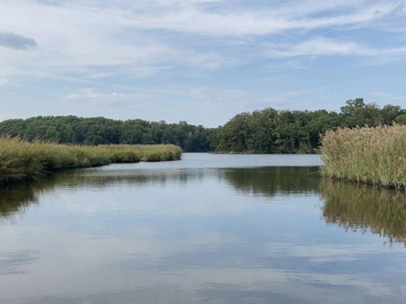
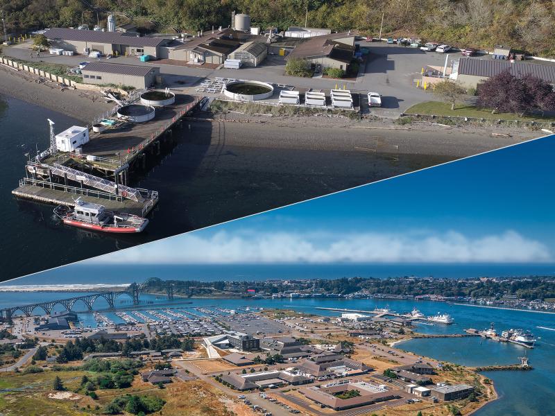
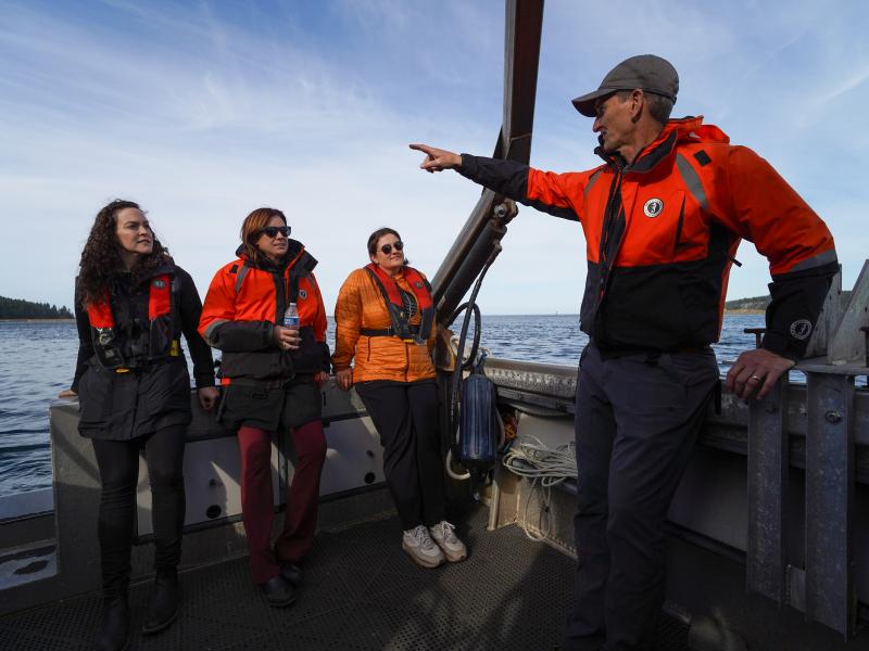
The Coastal Observations, Mechanisms, and Predictions Across Systems and Scales: Field, Measurements, and Experiments project established a network of observational field sites across Chesapeake Bay and western Lake Erie.
Researchers found that in a future where the Great Plains are 4 to 6 degrees Celsius (°C) warmer as projected in a high-emission scenario, these storms could bring three times more intense rainfall.
To improve our ability to “see” into the subsurface, scientists need to understand how different mineral surfaces respond to electrical signals at the molecular scale.
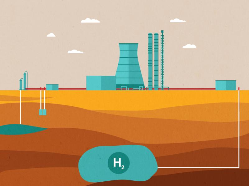
The SHASTA program is doing a deep dive on subsurface hydrogen storage in underground caverns, helping to lay the foundation for a robust hydrogen economy.
PNNL’s Center for the Remediation of Complex Sites convened attendees from around the world to discuss challenges associated with environmental contamination.
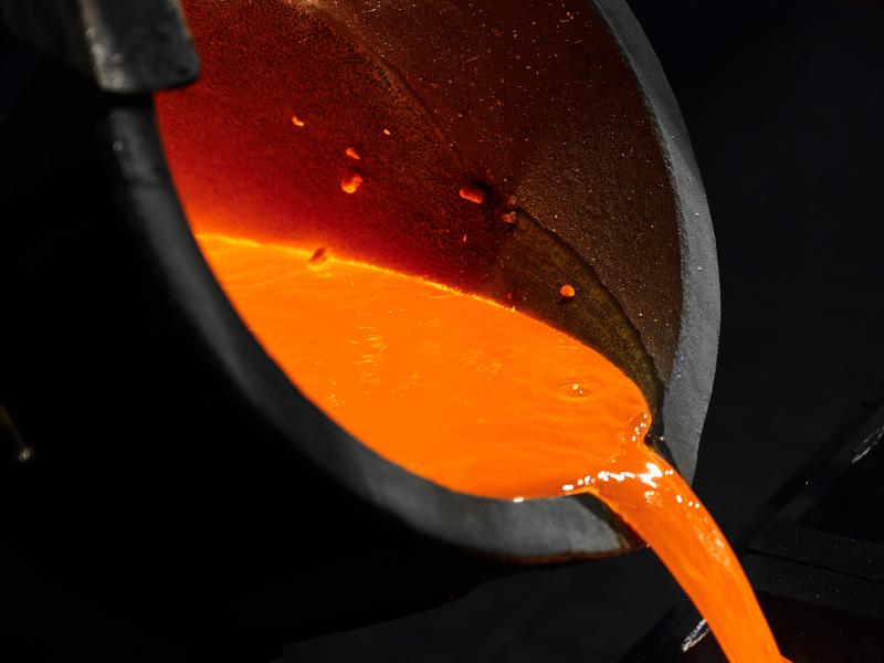
A team of scientists at PNNL developed new computational models to predict the behavior of these impurities and reduce the expense and risk related to actinide metal production.
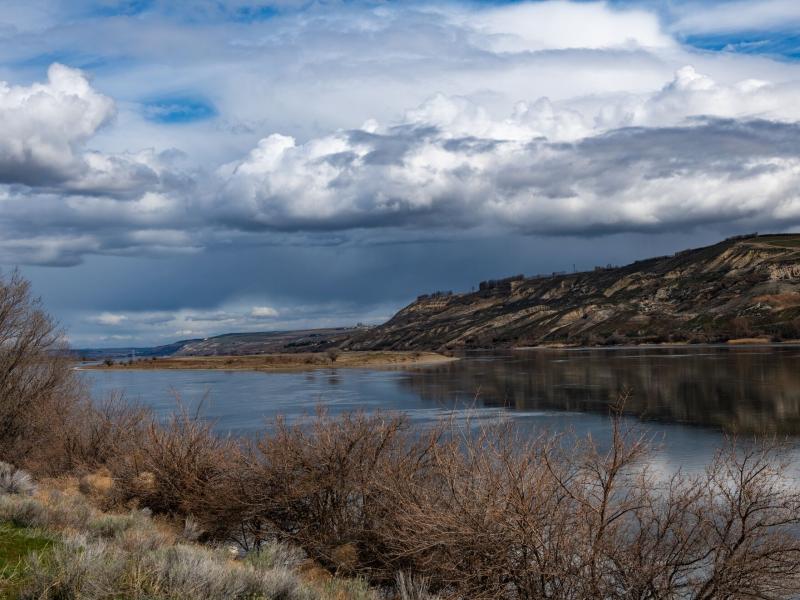
The diversity and function of organic matter in rivers at a large scale are influenced by factors, such as the types of vegetation covering the land, the energy characteristics, and the breakdown potential of the molecules.