Climate Change May Triple the Intensity of Extreme Precipitation from Mesoscale Storms
Kilometer-scale regional model simulations reveal how flood-producing convective storms may strengthen in a warmer climate over the U.S. Southern Great Plains

PNNL researchers simulated the record-breaking May 2015 flood event in Texas and Oklahoma and examined how the convective storms may change if the same event were to occur in a warmer climate.
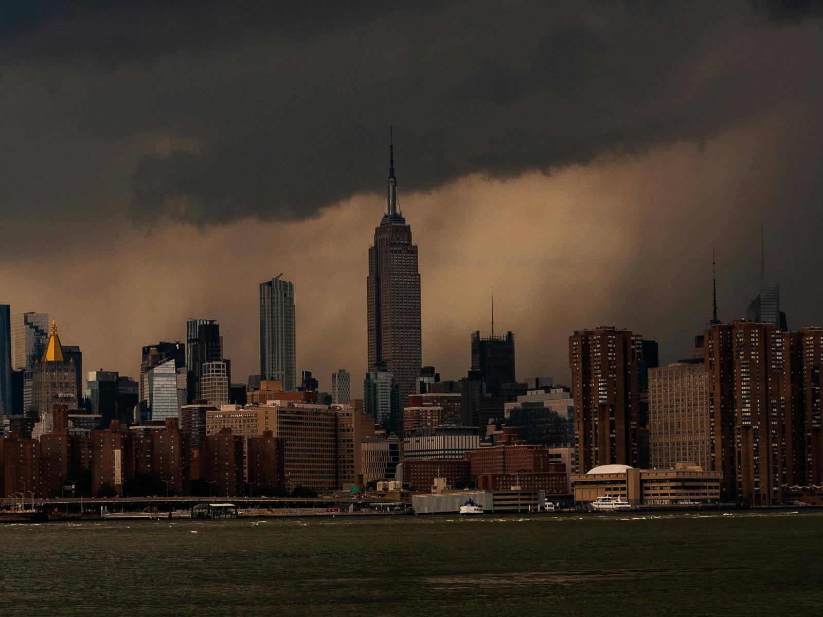
(Photo by Arne Tho | Unsplash)
The Science
The historic May 2015 flood event in Texas and Oklahoma was caused by a series of intense mesoscale convective systems (MCSs) (i.e., large convective storms several hundred kilometers wide) that produced record-breaking rainfall and $3 billion of damage in the region. A recent study looked back at this flood using detailed models in order to understand how such heavy rains happened. This study reproduced the event using kilometer-scale regional model simulations and examined how a similar event might unfold in a warmer climate. Researchers found that in a future where the Great Plains are 4 to 6 degrees Celsius (°C) warmer as projected in a high-emission scenario, these storms could bring three times more intense rainfall.
The Impact
Changes in extreme rainfall produced by thunderstorms in a warmer climate have significant implications to society. However, their projections are highly uncertain in coarse-resolution (~100 km resolution) global climate models with limited ability to resolve the key processes in thunderstorms. Researchers used a kilometer-scale regional model that explicitly simulated these thunderstorms and successfully reproduced their salient characteristics from observations, lending credibility to using the model to examine future changes in storm rainfall and the driving physical factors. Results of the study suggest that if similar events were to occur in a warmer climate, the probability of more severe flash flooding may increase. Current flood control and mitigation strategies may need to adapt to the possible strengthening of organized thunderstorms in future climate.
Summary
Organized convective storms that grow into MCSs produce precipitation that is about seven times more intense than other storms in the central United States. MCSs that are clustered in space and time produce more floods because they have greater rainfall per unit area. Research shows that with climate change, we might see much more intense rain from MCSs, which could lead to more serious flash floods. The historical flood event in Texas and Oklahoma during May 2015 was caused by an unusually large number of clustered MCSs traversing the Southern Great Plains area.
Researchers at Pacific Northwest National laboratory (PNNL) reconstructed the observed MCSs using a kilometer-scale regional model simulation. They further simulated these MCSs by adding the multi-climate-model-mean projected warming signal of 4–6°C under a high-emission scenario over the region. By tracking the MCSs that produced extreme precipitation in observations and simulations, researchers found that MCSs bring 50 percent more rain and the extreme rainfall intensity could increase three times. This is because a warmer atmosphere can hold more moisture and makes the conditions favorable for stronger storms. This research shows that storms could get more intense, with more heavy rain and less light rain, which could significantly increase the probability of flooding. Flood control and mitigation strategies may need to adapt to the possible strengthening of organized storms.
PNNL Contact
L. Ruby Leung
Pacific Northwest National Laboratory
ruby.leung@pnnl.gov
Funding
This research was supported by the Department of Energy, Office of Science Biological and Environmental Research as part of the HyperFACETS project (A Framework for Improving Analysis and Modeling of Earth System and Intersectoral Dynamics at Regional Scales) funded by the Regional and Global Model Analysis (RGMA) and MultiSector Dynamics program areas.
Published: August 16, 2024
Feng, X. Chen, and L. R. Leung. “How Might the May 2015 Flood in the U.S. Southern Great Plains Induced by Clustered MCSs Unfold in the Future?” Journal of Geophysical Research: Atmospheres, (2024). https://doi.org/10.1029/2023JD039605