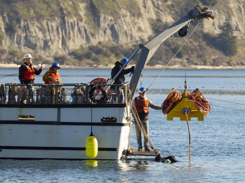
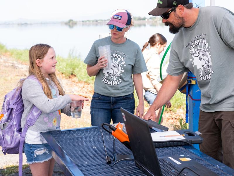
PNNL’s miniaturized acoustic transmitter expands tracking to smaller fish, giving researchers data that can inform fish passage and hydropower operations.
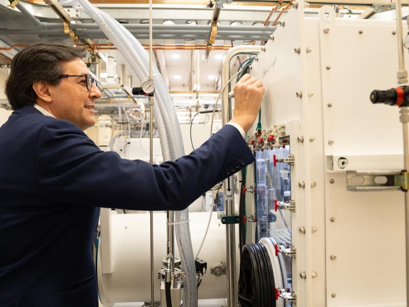
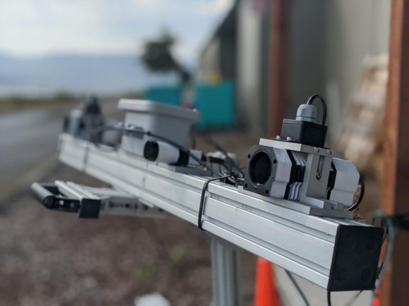
PNNL has developed a next-generation electrical resistivity tomography system for DOE that uses E4D software and AI-enhanced modeling to produce real-time subsurface images that help guide environmental remediation decisions.
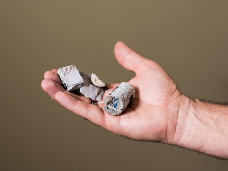
Replacing commercial acid with acidic waste enables researchers to improve nickel extraction efficiency, lower projected costs, and improve process economics.
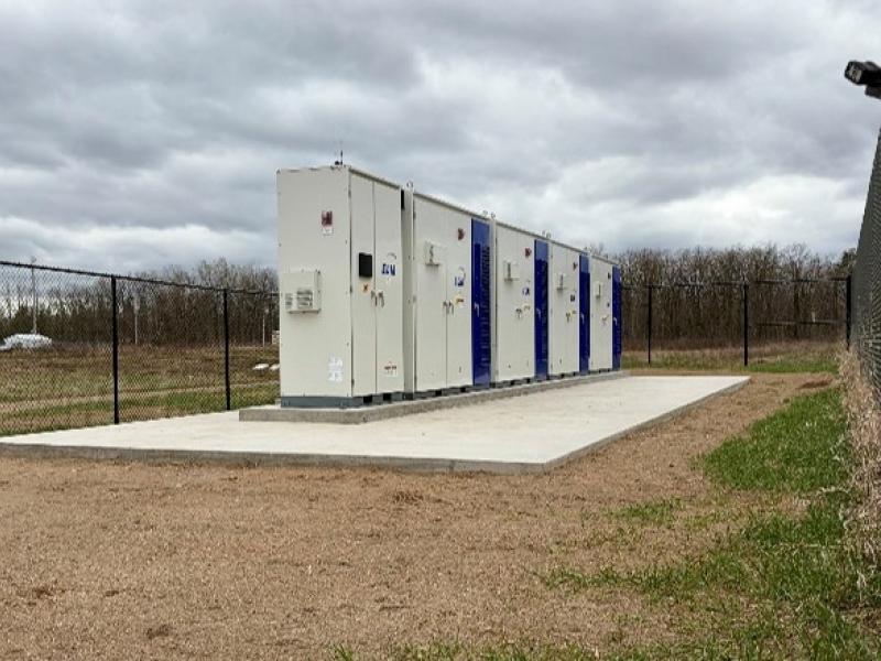
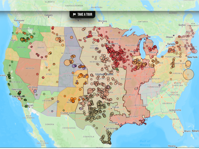
Connecting energy generation, electricity storage, and using sensors and control software to track load, including precommercial market marine energy generation technologies.
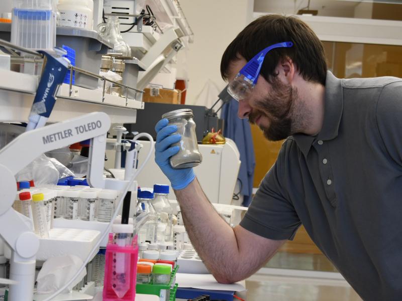
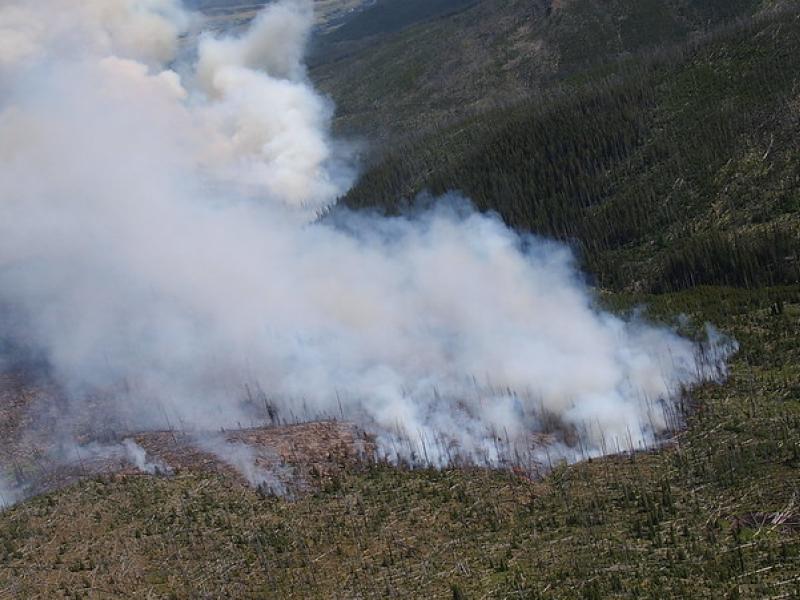
This study used historical data, remote sensing, and aquatic sensors to measure how far wildfire impacts propagated through the watershed after the 2022 Hermit’s Peak/Calf Canyon fire, New Mexico’s largest wildfire in history.
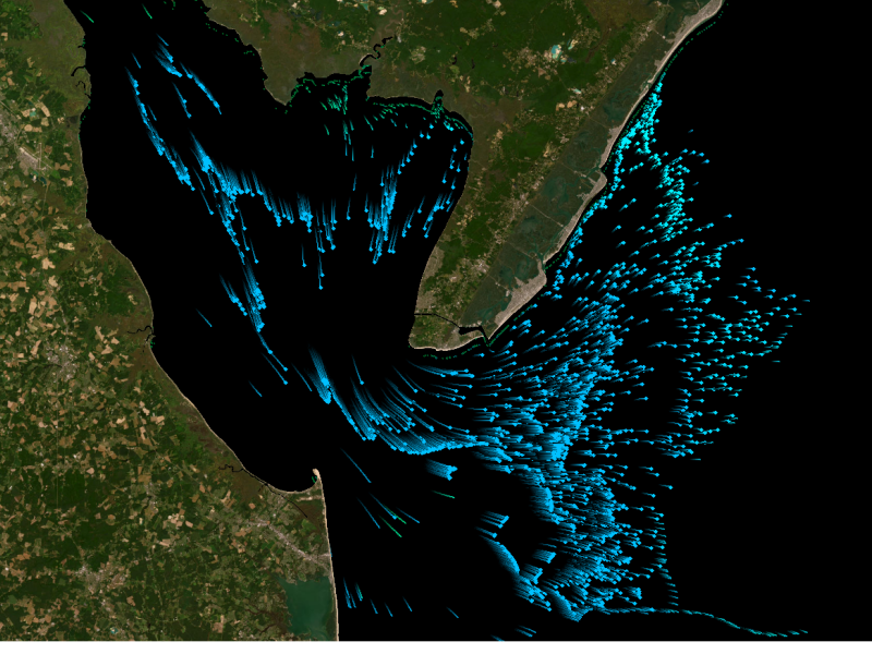
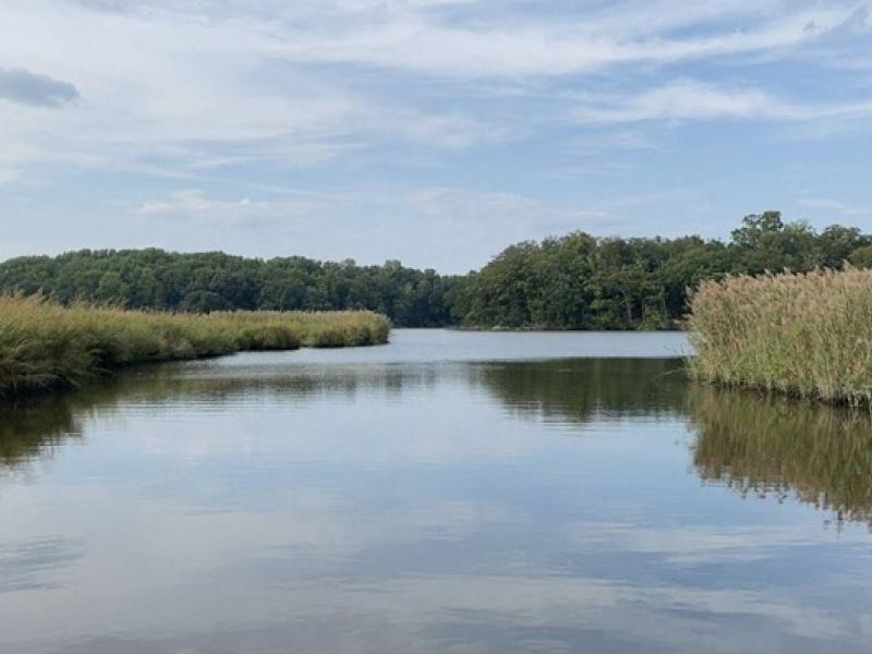
The Coastal Observations, Mechanisms, and Predictions Across Systems and Scales: Field, Measurements, and Experiments project established a network of observational field sites across Chesapeake Bay and western Lake Erie.