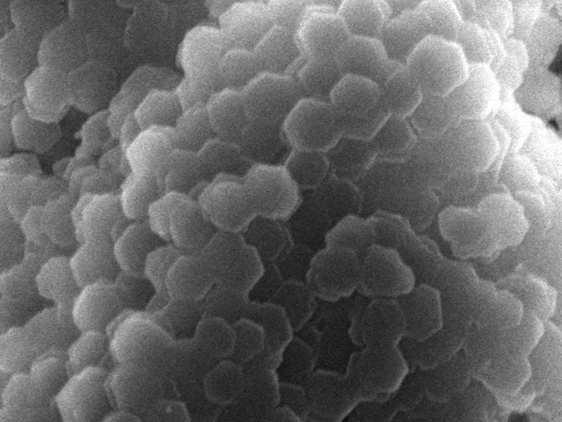
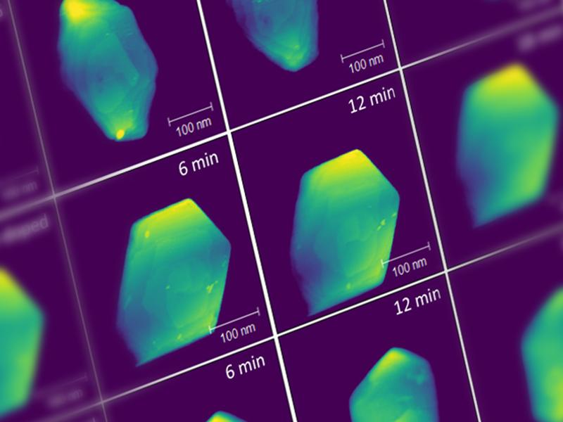
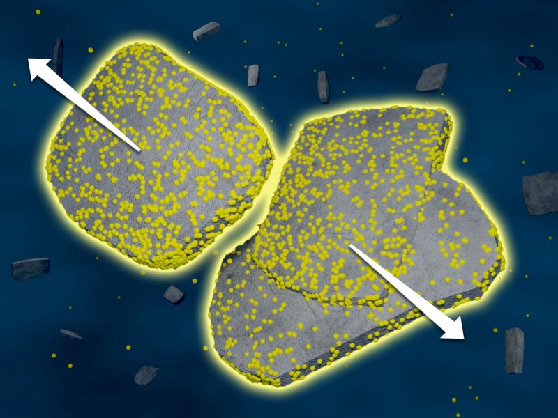
Using multiple specialized techniques, IDREAM researchers gained a better understanding of how trace impurities within gibbsite affect the hydrogen yield.
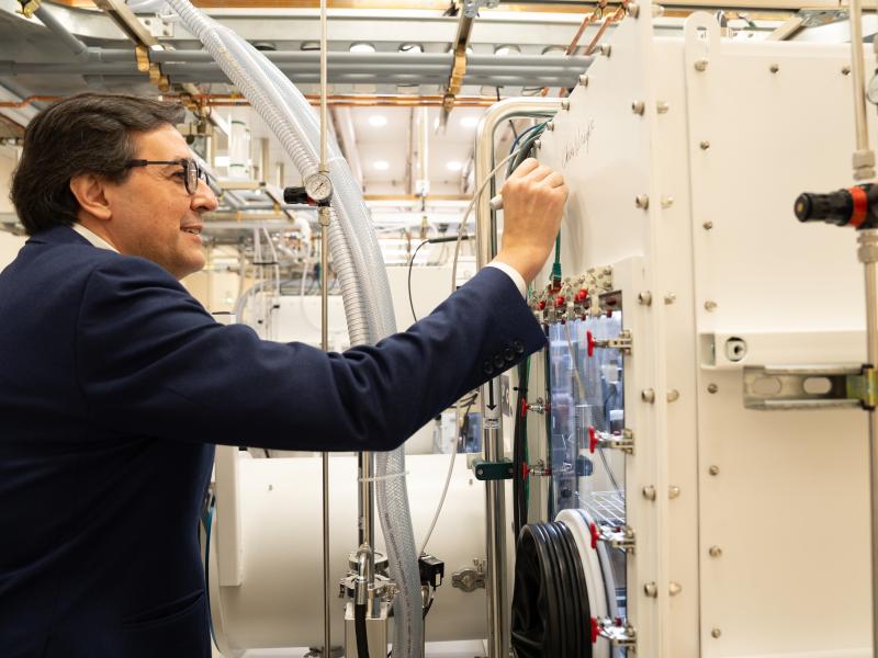
PNNL has developed a next-generation electrical resistivity tomography system for DOE that uses E4D software and AI-enhanced modeling to produce real-time subsurface images that help guide environmental remediation decisions.
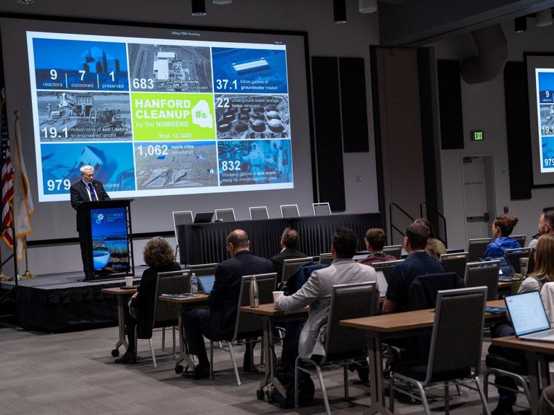
RemPlex 2025 Global Summit on Environmental Remediation attendees share knowledge about cleanup and monitoring of complex sites worldwide; more than 100 presentations are posted online.
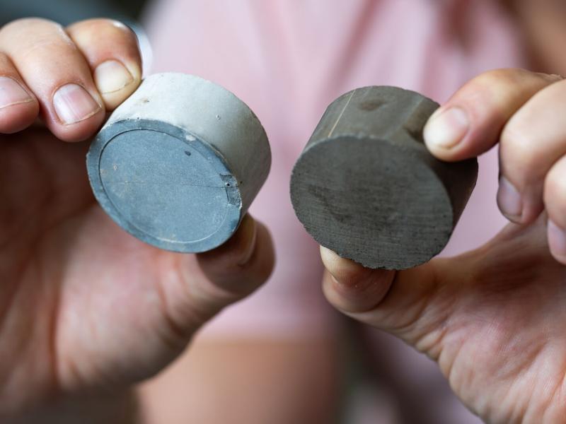
PNNL researchers have found yet another way to turn trash into treasure: using algal biochar, a waste production from hydrothermal liquefaction, as a supplementary material for cement.
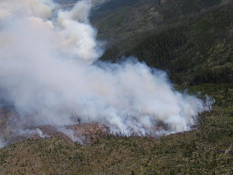
This study used historical data, remote sensing, and aquatic sensors to measure how far wildfire impacts propagated through the watershed after the 2022 Hermit’s Peak/Calf Canyon fire, New Mexico’s largest wildfire in history.
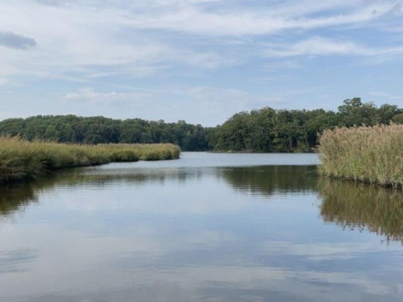
The Coastal Observations, Mechanisms, and Predictions Across Systems and Scales: Field, Measurements, and Experiments project established a network of observational field sites across Chesapeake Bay and western Lake Erie.
This project sought to assure that research activities centered around different sampling and monitoring efforts in northwest Ohio would not disturb any historical cultural resources.