From studying the multisector ripple effects of extreme events to exploring the chemical reactions that underlie life on Earth, two up-and-coming PNNL scientists were recognized for their scientific vision and prowess.
A theoretical index linking precipitation and atmospheric evaporative demand explains historical land humidity changes across observations, reanalyses, and climate models.
Observations, reanalysis, and E3SMv3 experiments linked inter-annual variability of Congo Basin surface temperature to the zonal position of precipitation over the Indo-Pacific maritime continent region.
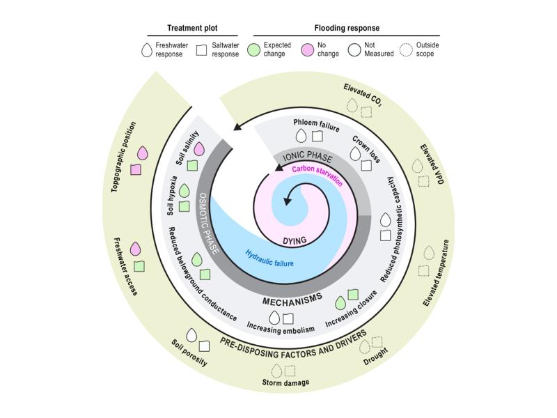
Short-term flooding of an experimental coastal forest impacted soils but not trees, with implications for understanding ecosystem disturbance responses.
Watershed-based representation discretized into topographic subgrid units better captured small-scale land cover, precipitation, temperature, and snow variability across multiple spatial scales.
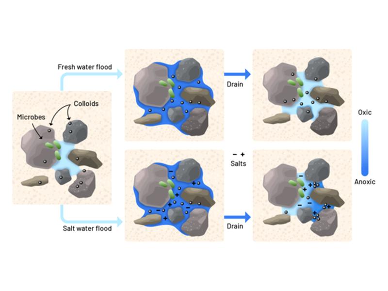
Lab experiments show that just a few saltwater pulses can rapidly alter soil pore structure and reduce oxygen flow, stressing tree roots in coastal forest soils.
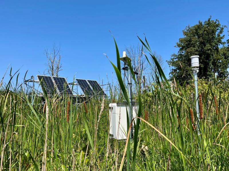
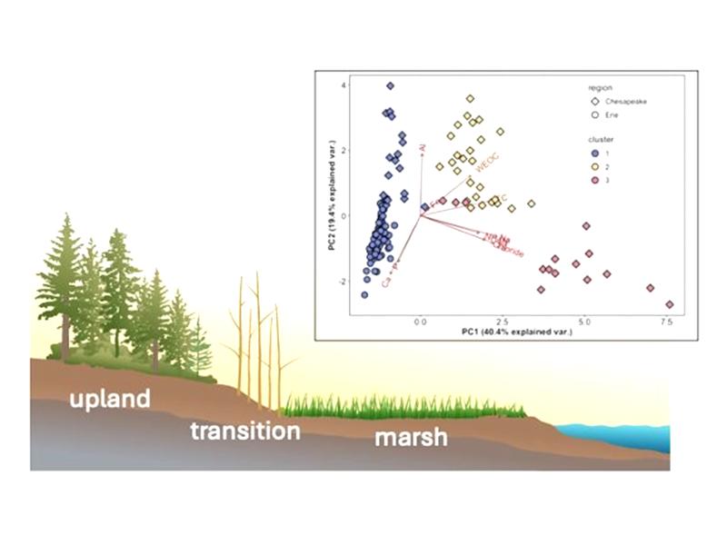
Newly designed sensor network comprehensively monitors a range of coastal landscapes to better understand nutrient and elemental dynamics that drive ecosystem function.
A team from PNNL joined the Department of Homeland Security Science and Technology Directorate and first responders from across the country to evaluate commercially available unmanned ground vehicles for emergency response.
A perspective paper recently published by PNNL researchers underscores how the Lab’s research on electrochemical energy storage is preparing the electric grid to meet the energy needs of the future.
PNNL has developed a next-generation electrical resistivity tomography system for DOE that uses E4D software and AI-enhanced modeling to produce real-time subsurface images that help guide environmental remediation decisions.