Innovative cement and concrete technologies at PNNL enhance durability and performance through self-healing formulations and cost-effective, high-performance materials derived from waste, enabling more resilient, reliable infrastructure.
The Center for Understanding Subsurface Signals and Permeability (CUSSP) Energy Earthshot Research Center (EERC) is working to develop the ability to predict and control fluid flow through fracture networks in enhanced geothermal systems.
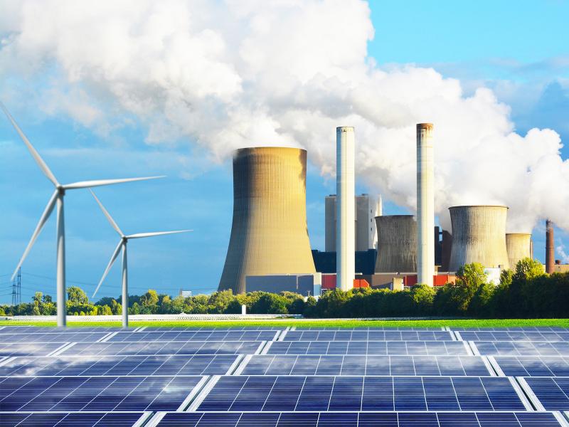
PNNL is helping communities with significant historical ties to fossil energy understand opportunities and pursue numerous federal resources available to support coal power plant redevelopment.
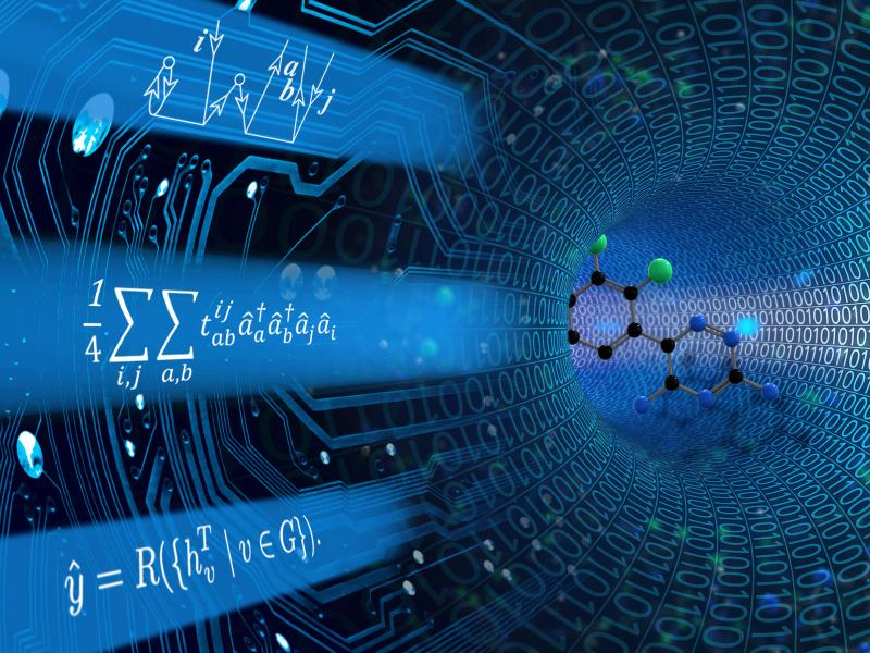
The Computational and Theoretical Chemistry Institute (CTCI) aspires to establish a premier international center for chemistry and materials science software at extreme scales.
A multi-institution research team led by PNNL is addressing curb usage management challenges in large urban areas by developing a city-scale dynamic curb use simulation tool and an open-source curb management platform.
E4D is a 3D geophysical modeling and inversion program designed for subsurface imaging and monitoring using static and time-lapse electrical resistivity tomography (ERT), spectral induced polarization (SIP) and travel-time tomography data.
PNNL will partner with the U.S. Department of Transportation’s Volpe Center to explore ways to to achieve federal goals for developing electric transmission infrastructure in transportation rights-of-way (ROWs).
PNNL is a leader in the integration of aberration-corrected electron microscopy, in-situ techniques, and atom probe tomography to address challenges in nuclear materials, environmental remediation, energy storage, and national security.
GeoBOSS is a software library that combines the data-handling capabilities of Spark and the user-friendliness of Python to simplify geospatial analytics and the transition between small-scale research and large-scale operational projects.
The Grid Storage Launchpad (GSL) is a national capability for energy storage research funded by the Department of Energy Office of Electricity and located on the Pacific Northwest National Laboratory (PNNL) campus in Richland, Washington
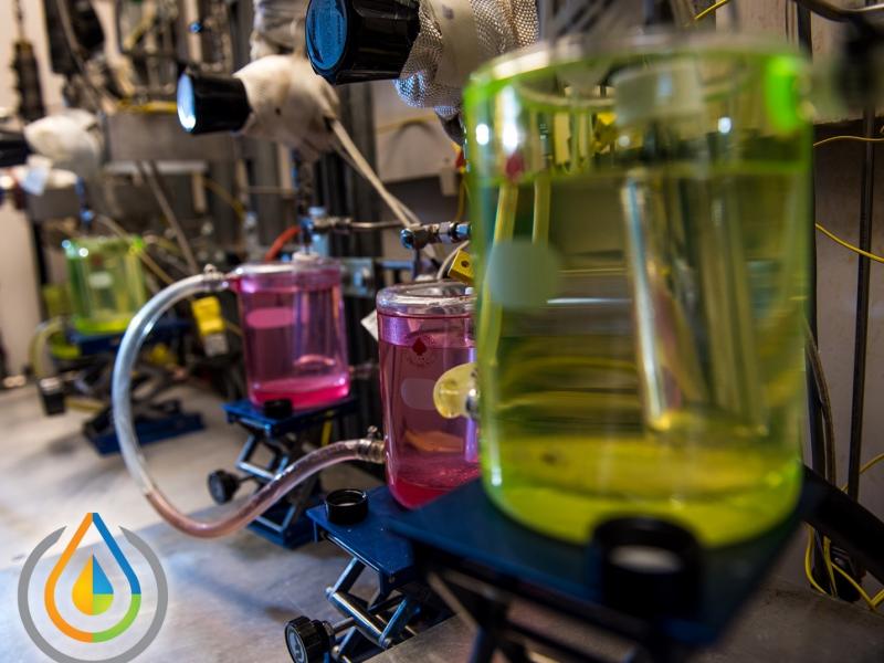
The Institute for Integrated Catalysis (IIC) at Pacific Northwest National Laboratory explores and develops the chemistry and technology of catalyzed processes that enable a carbon-neutral future.