Dynamic Curbs in Urban Settings
Better planning to reduce curbside congestion and increase usage efficiency
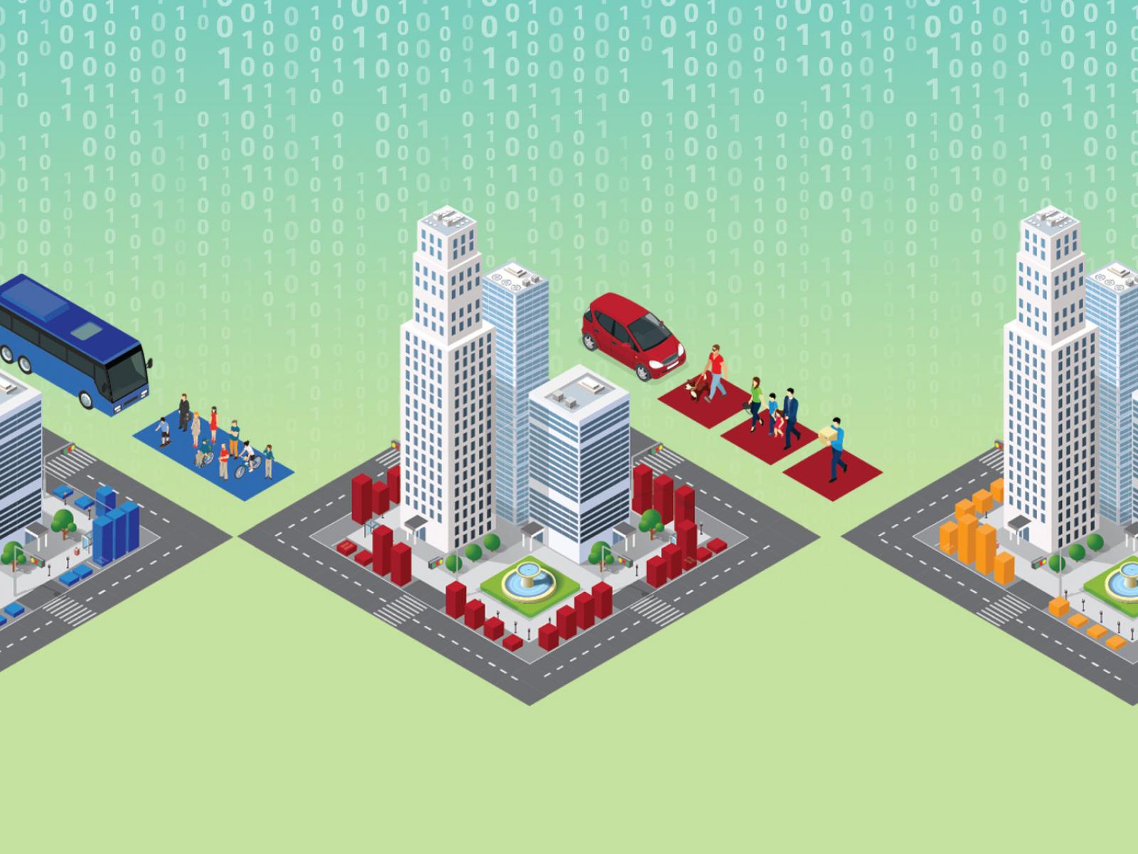
PNNL is addressing curb usage management by developing a city-scale dynamic curb use simulation tool and an open-source curb management platform.
(Composite image by Cortland Johnson | Pacific Northwest National Laboratory)
In larger urban areas where parking is at a premium, finding unoccupied curb space can be challenging—whether it be finding a space in front of a favorite restaurant, delivering packages to an apartment dwelling, or transporting bus or taxi passengers to their final destinations.
These days, demand for parking space continues to increase even more with the rise of micro-delivery services and transportation network companies. Additionally, the electric vehicle market share is rising, resulting in the installation of new curbside charging infrastructure. Add increased pedestrian traffic to the congestion—strollers, bikes, joggers, and increased outdoor business activities, such as restaurant seating resulting from the COVID-19 pandemic—and curbs and sidewalks become even more crowded and sometimes chaotic and unsafe.
Increased demands to access curb space requires new tools to help municipalities plan curb allocation policies that improve flow and reduce traffic disruption while understanding possible competing outcomes. With support from the U.S. Department of Energy’s Vehicle Technologies Office, a multi-institution research team led by the Pacific Northwest National Laboratory is addressing curb usage management challenges by developing a city-scale dynamic curb use simulation tool and an open-source curb management platform.
The research team envisions municipalities using these tools to simulate competing control optimization choices, such as price, the number of available spaces, and curb space use type. For example, a space could be rezoned based on supply and demand during specific times of day—among other attributes—to discover the mix of incentives and controls that maximize curb use for their municipality.
The dynamic curb use simulation tool developed by the team will be coupled with a city-wide travel activity model—Behavior, Energy, Autonomy, Mobility, or BEAM—developed by partners at Lawrence Berkeley National Laboratory. The coupling will allow users to simulate the impacts of various curbside uses and management strategies on overall traffic flow and travel demand. The team will use this integration to evaluate new methods for dynamically reallocating curb space throughout the day.

The First Piece is Simulation
The team is developing a Microscale Curb Simulation Tool (MCST) to model competition among individual vehicles that use curb space differently—such as trucks delivering packages or personal vehicles with occupants looking for a meal—at the curb along a block over various times of day, taking into account parking costs, space supply, function (e.g., loading zones, passenger drop-off), and dwell time.
To develop the MCST, the researchers intend to leverage existing data from related efforts as well as simulated vehicle behaviors to understand the impacts on curb occupancy and urban congestion.
An early research activity involves identifying and gaining access to data sources that illuminate curb usage. Data sources under consideration include parking sensor feeds, paid curbside parking transactions, commercial vehicle GPS data, transit schedules, ridership data, and mobility data. The University of Washington’s Urban Freight Lab and Lacuna Technologies, a company focused on using data to respond to shifting usage demands for fixed infrastructure, are bringing critical domain expertise and data access to the research team.
Integration with Beam for a Curb Management Tool
Once MCST is developed, the team will integrate the tool with Lawrence Berkeley National Laboratory’s BEAM. The result will be a curb management tool for municipalities—utilizing curb performance metrics developed by the National Laboratory of the Rockies—to assess traffic impacts in terms of travel time, throughput of people and goods into and out of urban centers, energy use and emissions generated by traffic congestion and search for parking, and curb space use. Once developed and ready for use, the team will demonstrate a new curb management and communications tool in the form of an app to interested municipalities who require streamlined curb management policies and commercial partners for curbside efficiency as well as more energy-efficient transportation.
Who Benefits?
The resulting tools will benefit city planning officials and transportation engineers who manage a city’s curb network. Using the tools, they will be able to simulate different curb use policies and potential incentives to determine how pricing, zoning, timing, and parking availability can help reduce congestion and improve efficiency. The tools will also help boost situational awareness at targeted curbs, reducing congestion at the point of drop-off and pickup.
Dynamic Curbs Code
The code for the Dynamic Curbs project is publicly available and located in the Github repository.
Publications
- Dowling, Chase P., Thomas Maxner, and Andisheh Ranjbari. 2022. "An Empirical Taxonomy of Common Curb Zoning Configurations in Seattle." Findings Press. doi.org/10.32866/001c.32446
- Nazir, Nawaf, Shushman Choudhury, Stephen Zoepf, Ke Ma, and Chase Dowling. 2022. "Optimal Centralized Dynamic Curbside Parking Space Zoning." 2022 IEEE 25th International Conference on Intelligent Transportation Systems, October 8-12, 2022, Macau, China. DOI: 10.1109/ITSC55140.2022.9922247
- Vasisht, Soumya; Shushman Choudhury; Nawaf Nazir; Stephen Zoepf; and Chase P. Dowling. 2022. “Estimating Driver Response Rates to Variable Message Signage at Seattle-Tacoma International Airport.” Findings Press. doi.org/10.32866/001c.38134