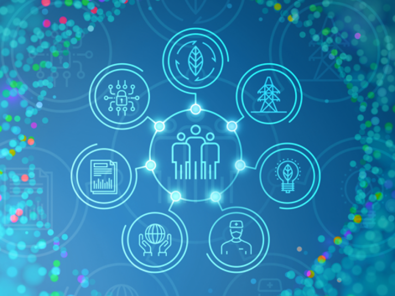
Energy experts at PNNL are helping 56 states and territories deliver their state energy security plans (SESPs) through a transparent and collaborative review process.
RemPlex provides a global forum committed to fostering technical leadership, collaborative research, and professional development that facilitates the cost-effective remediation of complex sites.
The Center for Understanding Subsurface Signals and Permeability (CUSSP) Energy Earthshot Research Center (EERC) is working to develop the ability to predict and control fluid flow through fracture networks in enhanced geothermal systems.
In January 2024, CESER—in partnership with GDO, NASEO, and PNNL—created a set of state energy security cohorts to support the coordination and technical development of state energy security planning, assessment, and mitigation.
E4D is a 3D geophysical modeling and inversion program designed for subsurface imaging and monitoring using static and time-lapse electrical resistivity tomography (ERT), spectral induced polarization (SIP) and travel-time tomography data.
PNNL’s integrated software systems (FRAMES, MEPAS, MetView, APGEMS, CAPP) allow users to assess the environmental fate and transport of contaminants—and the potential impacts on humans and the environment—in a systematic, holistic approach.
From global issues such as melting permafrost and the creation of alternate biofuels to matters affecting microbiomes and micro-sized life, PNNL research is featured in news publications worldwide.
PNNL administers two research buoys for the U.S. Department of Energy that allows collection of wind meteorological and oceanographic data off the nation's coasts.
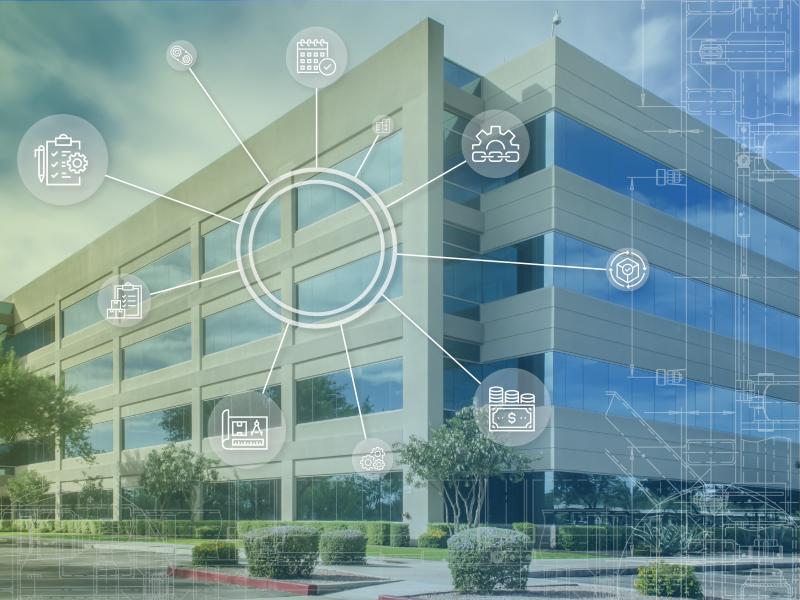
FEMP's operations and maintenance (O&M) resources offer federal agencies technology- and management-focused guidance to improve energy and water efficiency and ensure safer and more reliable operations.