The Biodefense Policy Landscape Analysis Tool (B-PLAT), captures and presents a slew of information about U.S. efforts to protect its citizens and others around the world from diverse threats.
The Center for Understanding Subsurface Signals and Permeability (CUSSP) Energy Earthshot Research Center (EERC) is working to develop the ability to predict and control fluid flow through fracture networks in enhanced geothermal systems.
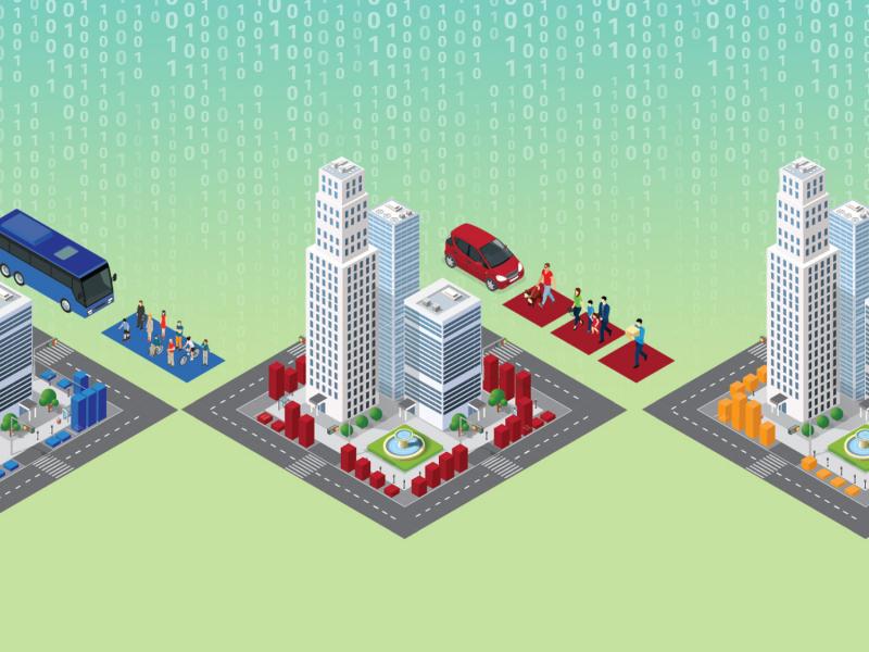
A multi-institution research team led by PNNL is addressing curb usage management challenges in large urban areas by developing a city-scale dynamic curb use simulation tool and an open-source curb management platform.
E4D is a 3D geophysical modeling and inversion program designed for subsurface imaging and monitoring using static and time-lapse electrical resistivity tomography (ERT), spectral induced polarization (SIP) and travel-time tomography data.
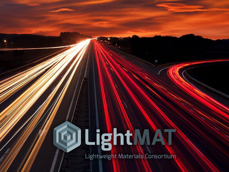
PNNL is leading a consortium that provides funding opportunities to the automotive industry for accelerating new lightweight technologies in on-highway vehicles.
STOMP is a suite of numerical simulators for solving problems involving coupled flow and transport processes in the subsurface. The suite of STOMP simulators is distinguished by application areas and solved mathematical equations.
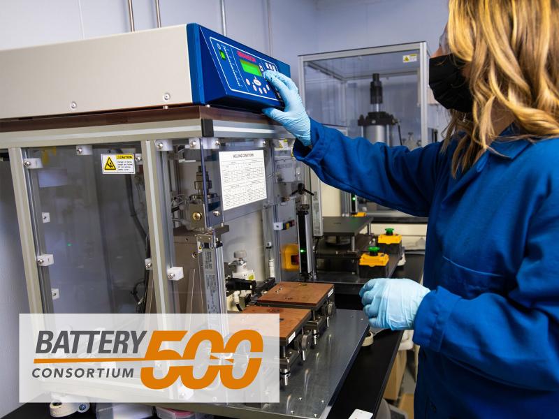
National laboratories, industry and academia are collaborating to provide electric vehicle manufacturers with batteries that are more reliable, high-performing, safe, and less expensive.
The UNSAT-H computer code is used to understand the movement of water, heat, and vapor in soils so more informed decisions can be made about land use, waste disposal, and climate change.
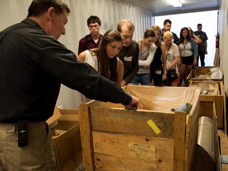
PNNL develops training, exercises, and assessments to prepare and equip border security officers to detect, identify, and interdict the illicit movements of materials, commodities, and components associated with WMD.