PREPARES demonstrates linkages between climate or weather conditions and human domain systems by combining quantitative geophysical data with qualitative data.
The user-friendly Project Schedule Visualizer software developed at PNNL helps users readily identify and understand the impacts of updates to the schedule, budget, and risks associated with large, complex projects that cross departments.
PNNL combines AI and cloud computing with damage assessment tools to predict the path of wildfires and quickly evaluate the impact of natural disasters, giving first responders an upper hand.
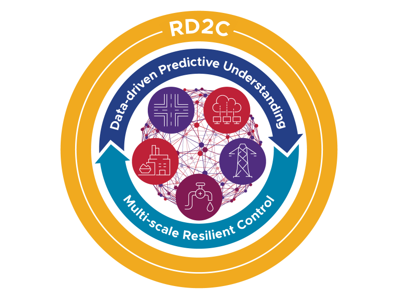
The RD2C laboratory-directed research initiative seeks to develop resilient, adaptive, and intelligent sensing and control algorithms through the observational understanding and characterization of CPSs under adverse conditions.
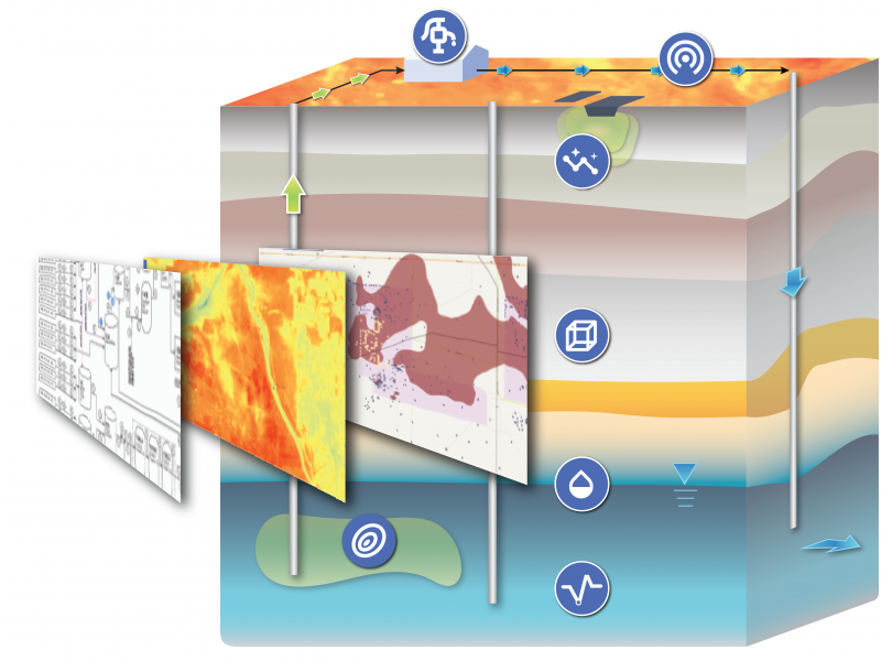
PNNL has developed performance assessment guidance for remediation of volatile contaminants in the vadose zone, inorganic contaminant remediation in the vadose zone, and pump-and-treat of groundwater contaminant plumes.
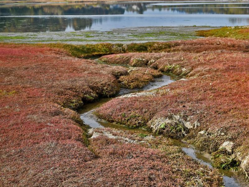
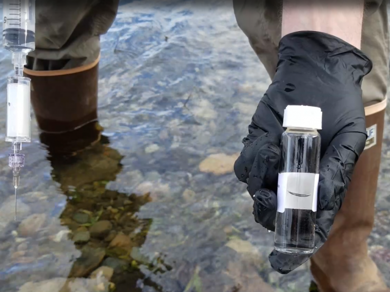
PNNL's River Corridor Hydrobiogeochemistry Scientific Focus Area works to transform understanding of spatial and temporal dynamics in river corridor hydrobiogeochemical functions from molecular reaction to watershed and basin scales.
The Salish Sea Model (SSM) is a predictive coastal ocean model for estuarine research, restoration planning, water-quality management, and climate change response assessment.
Powered by few-shot learning, the Sharkzor AI-driven, scalable web application makes it possible to quickly characterize and sort electron microscopy images used to analyze radioactive materials.
The Suite Of Comprehensive Rapid Analysis Tools for Environmental Sites online tools provide rapid data analytics and visualization of environmental data supporting remedy decisions, optimization, and exit strategies.
STOMP is a suite of numerical simulators for solving problems involving coupled flow and transport processes in the subsurface. The suite of STOMP simulators is distinguished by application areas and solved mathematical equations.
The TRAC web tool displays the environmental remediation status—and metrics about progress toward closure—for cleanup sites overseen by the DOE Office of Environmental Management.
PNNL has developed a tool suite of interactive analytics that can be rapidly integrated into analyst workflows to empirically analyze and gain qualitative understanding of AI model performance jointly across dimensions.
The UNSAT-H computer code is used to understand the movement of water, heat, and vapor in soils so more informed decisions can be made about land use, waste disposal, and climate change.
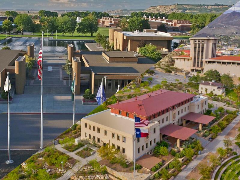
UTEP and PNNL are advancing the collective scientific impact of both institutions through collaborations between PNNL researchers and UTEP faculty, as well as by building on the complementary strengths to grow a diverse STEM workforce.