The Joint Global Change Research Institute conducts research to advance fundamental understanding of human and Earth systems and provide decision-relevant information for management of emerging global risks and opportunities.
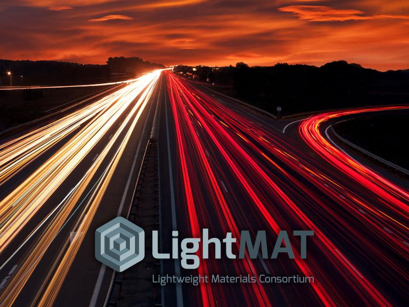
PNNL is leading a consortium that provides funding opportunities to the automotive industry for accelerating new lightweight technologies in on-highway vehicles.
PNNL is a testbed for the latest research and technologies in marine carbon dioxide removal (mCDR)—leveraging the ocean’s strength as a natural carbon sink to address pressing climate concerns.
PNNL data scientists and engineers will be presenting at NeurIPS, the Thirty Fourth Conference on Neural Information Processing Systems, and the co-located Women in Machine Learning workshop, WiML.
PREPARES demonstrates linkages between climate or weather conditions and human domain systems by combining quantitative geophysical data with qualitative data.
The user-friendly Project Schedule Visualizer software developed at PNNL helps users readily identify and understand the impacts of updates to the schedule, budget, and risks associated with large, complex projects that cross departments.
PNNL has developed performance assessment guidance for remediation of volatile contaminants in the vadose zone, inorganic contaminant remediation in the vadose zone, and pump-and-treat of groundwater contaminant plumes.
STOMP is a suite of numerical simulators for solving problems involving coupled flow and transport processes in the subsurface. The suite of STOMP simulators is distinguished by application areas and solved mathematical equations.
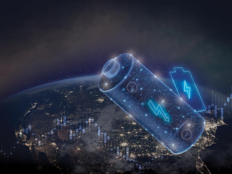
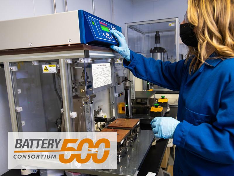
National laboratories, industry and academia are collaborating to provide electric vehicle manufacturers with batteries that are more reliable, high-performing, safe, and less expensive.
The TRAC web tool displays the environmental remediation status—and metrics about progress toward closure—for cleanup sites overseen by the DOE Office of Environmental Management.
PNNL has developed a tool suite of interactive analytics that can be rapidly integrated into analyst workflows to empirically analyze and gain qualitative understanding of AI model performance jointly across dimensions.
The UNSAT-H computer code is used to understand the movement of water, heat, and vapor in soils so more informed decisions can be made about land use, waste disposal, and climate change.
Visual Sample Plan (VSP) is a software tool that supports the development of a defensible sampling plan based on statistical sampling theory and the statistical analysis of sample results to support confident decision making.
The Water Cycle and Climate Extremes Modeling (WACCEM) Scientific Focus Area advances predictive understanding of water cycle variability and change through foundational research using models, observations, and novel numerical experiments.
PNNL develops training, exercises, and assessments to prepare and equip border security officers to detect, identify, and interdict the illicit movements of materials, commodities, and components associated with WMD.