E4D is a 3D geophysical modeling and inversion program designed for subsurface imaging and monitoring using static and time-lapse electrical resistivity tomography (ERT), spectral induced polarization (SIP) and travel-time tomography data.
PNNL administers two research buoys for the U.S. Department of Energy that allows collection of wind meteorological and oceanographic data off the nation's coasts.
PNNL is a testbed for the latest research and technologies in marine carbon dioxide removal (mCDR)—leveraging the ocean’s strength as a natural carbon sink to address pressing climate concerns.
PNNL and the United States Geological Survey are partnering to develop a buoy-based radar system capable of measuring bird and bat abundances and behaviors at offshore locations.
STOMP is a suite of numerical simulators for solving problems involving coupled flow and transport processes in the subsurface. The suite of STOMP simulators is distinguished by application areas and solved mathematical equations.
PNNL researchers developed and manage the online database Tethys to actively collects and curates information on the environmental effects of wind and marine energy.
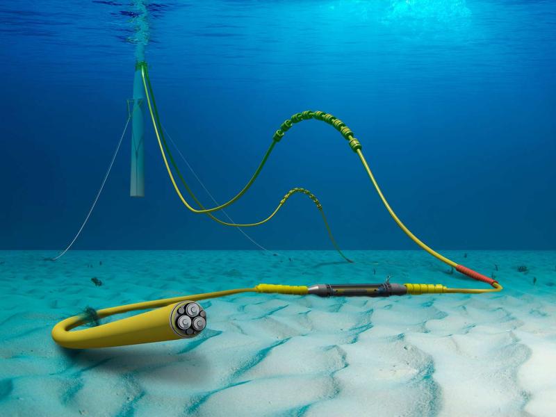
PNNL wind energy experts led a project to review existing literature focusing on the technical evaluation of offshore wind energy transmission through potential points of interconnection at the West Coast.
Pacific Northwest National Laboratory and National Renewable Energy Laboratory conducted a two-year study to investigate the potential of floating offshore wind to help meet growing energy needs on the U.S. West Coast.