Energy experts at PNNL are helping 56 states and territories deliver their state energy security plans (SESPs) through a transparent and collaborative review process.
PNNL is leading the nation with research addressing urgent needs for reimagining U.S. critical infrastructure against the realities of software-speed attacks and hazards.
Cyber, physical, and blended cyber-physical threats are real, ubiquitous, and expensive to deal with. Private companies, government institutions, and critical infrastructures struggle to implement viable solutions as technology evolves.
The Center for Understanding Subsurface Signals and Permeability (CUSSP) Energy Earthshot Research Center (EERC) is working to develop the ability to predict and control fluid flow through fracture networks in enhanced geothermal systems.
PNNL is helping communities with significant historical ties to fossil energy understand opportunities and pursue numerous federal resources available to support coal power plant redevelopment.
The Computational and Theoretical Chemistry Institute (CTCI) aspires to establish a premier international center for chemistry and materials science software at extreme scales.
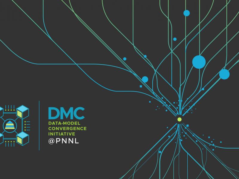
The Data-Model Convergence (DMC) Initiative is a multidisciplinary effort to create the next generation of scientific computing capability through a software and hardware co-design methodology.
In January 2024, CESER—in partnership with GDO, NASEO, and PNNL—created a set of state energy security cohorts to support the coordination and technical development of state energy security planning, assessment, and mitigation.
E4D is a 3D geophysical modeling and inversion program designed for subsurface imaging and monitoring using static and time-lapse electrical resistivity tomography (ERT), spectral induced polarization (SIP) and travel-time tomography data.
PNNL is a leader in the integration of aberration-corrected electron microscopy, in-situ techniques, and atom probe tomography to address challenges in nuclear materials, environmental remediation, energy storage, and national security.
GeoBOSS is a software library that combines the data-handling capabilities of Spark and the user-friendliness of Python to simplify geospatial analytics and the transition between small-scale research and large-scale operational projects.