RemPlex provides a global forum committed to fostering technical leadership, collaborative research, and professional development that facilitates the cost-effective remediation of complex sites.
The Center for Understanding Subsurface Signals and Permeability (CUSSP) Energy Earthshot Research Center (EERC) is working to develop the ability to predict and control fluid flow through fracture networks in enhanced geothermal systems.
PNNL’s pioneering CETC project with regional universities demonstrates transactive controls among multiple commercial buildings and devices for energy efficiency and grid reliability.
Pacific Northwest National Laboratory, supported by the Department of Energy’s Grid Deployment Office, is leading a technical assistance initiative to help utilities test and deploy alternate GPS timing solutions.
E4D is a 3D geophysical modeling and inversion program designed for subsurface imaging and monitoring using static and time-lapse electrical resistivity tomography (ERT), spectral induced polarization (SIP) and travel-time tomography data.
PNNL’s integrated software systems (FRAMES, MEPAS, MetView, APGEMS, CAPP) allow users to assess the environmental fate and transport of contaminants—and the potential impacts on humans and the environment—in a systematic, holistic approach.
From global issues such as melting permafrost and the creation of alternate biofuels to matters affecting microbiomes and micro-sized life, PNNL research is featured in news publications worldwide.
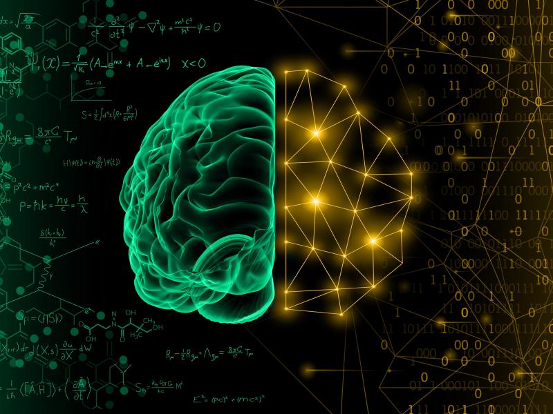
Physics-informed machine learning (PIML) is a modeling approach that harnesses the power of machine learning and big data to improve the understanding of coupled, dynamic systems.
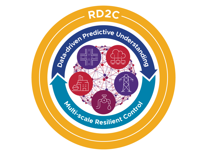
The RD2C laboratory-directed research initiative seeks to develop resilient, adaptive, and intelligent sensing and control algorithms through the observational understanding and characterization of CPSs under adverse conditions.
PNNL has developed performance assessment guidance for remediation of volatile contaminants in the vadose zone, inorganic contaminant remediation in the vadose zone, and pump-and-treat of groundwater contaminant plumes.
PNNL is working on behalf of the U.S. Department of Energy to create a prototype system that enables homes to help provide services to the power grid while delivering economic benefits to residents.
PNNL's River Corridor Hydrobiogeochemistry Scientific Focus Area works to transform understanding of spatial and temporal dynamics in river corridor hydrobiogeochemical functions from molecular reaction to watershed and basin scales.