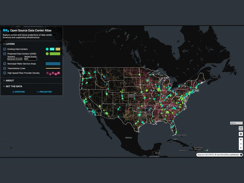
Now, anyone can easily explore and access data from a nationwide map of data centers, the infrastructure that powers them, and projections of future data center locations.
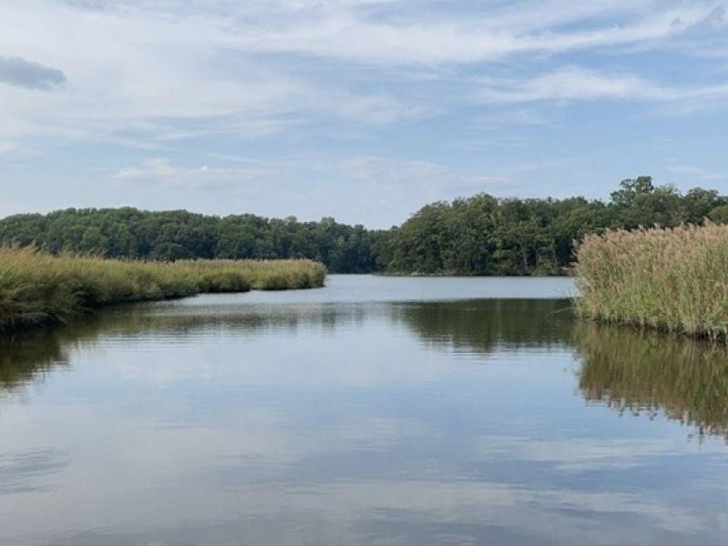
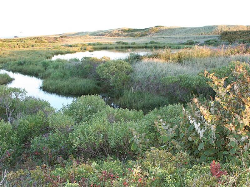
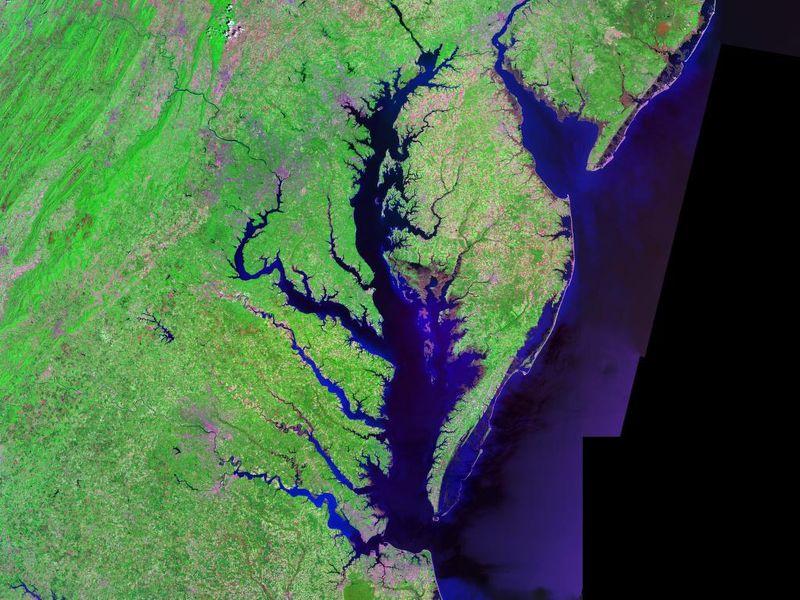
The Coastal Observations, Mechanisms, and Predictions Across Systems and Scales: Field, Measurements, and Experiments project established a network of observational field sites across Chesapeake Bay and western Lake Erie.
Due to their inherent variability and complexity over space and time, scientists are challenged to understand the complex interactions among soil, vegetation, and water along coastal terrestrial-aquatic interfaces.
This study characterized above- and below-ground properties to explore the spatial heterogeneity of the terrestrial aquatic interface ecosystem within the Chesapeake Bay area and evaluate the major drivers of soil respiration.
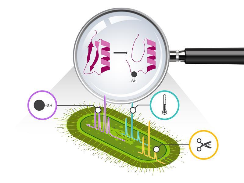
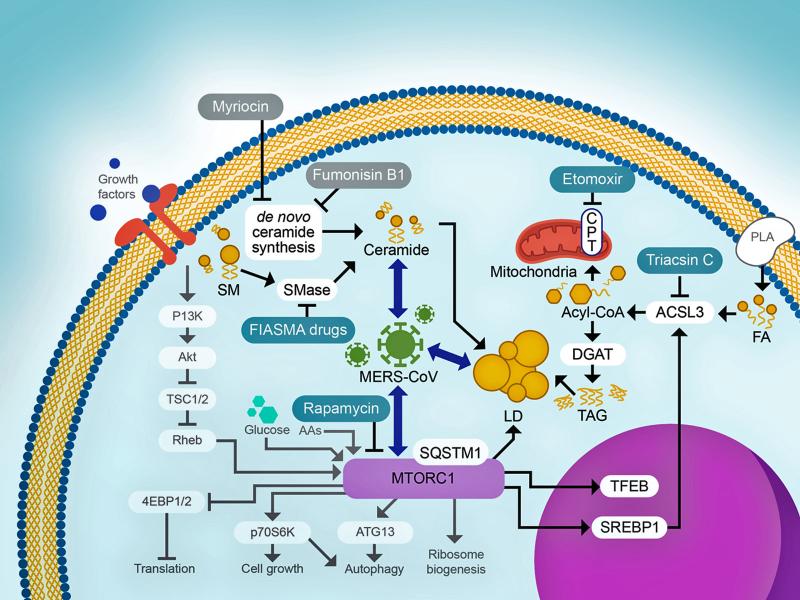
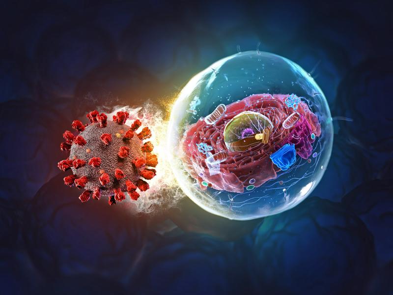
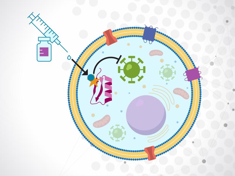
Continued studies will deepen scientists’ understanding of virus-host interactions at the molecular level and also pave the way for developing better drugs to fight emerging viruses.
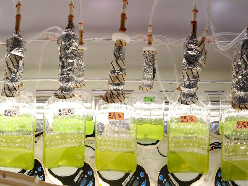
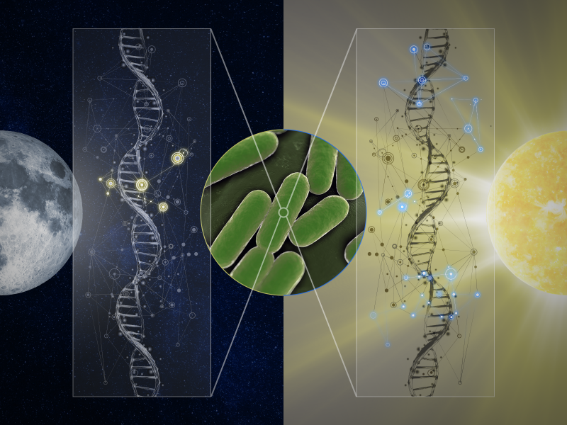
Scientists map how transitions from day to night control gene regulatory networks in cyanobacteria, revealing key orchestrators of metabolic switching.
New datasets delineating global urban land support scientific research, application, and policy, but they can produce different results when applied to the same problem making it difficult for researchers to decide which to use.