PNNL has developed a next-generation electrical resistivity tomography system for DOE that uses E4D software and AI-enhanced modeling to produce real-time subsurface images that help guide environmental remediation decisions.
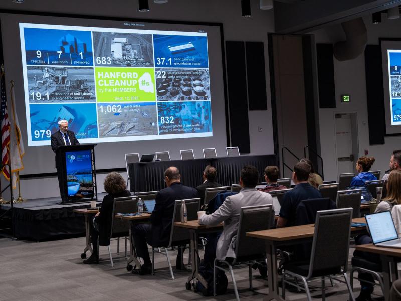
RemPlex 2025 Global Summit on Environmental Remediation attendees share knowledge about cleanup and monitoring of complex sites worldwide; more than 100 presentations are posted online.
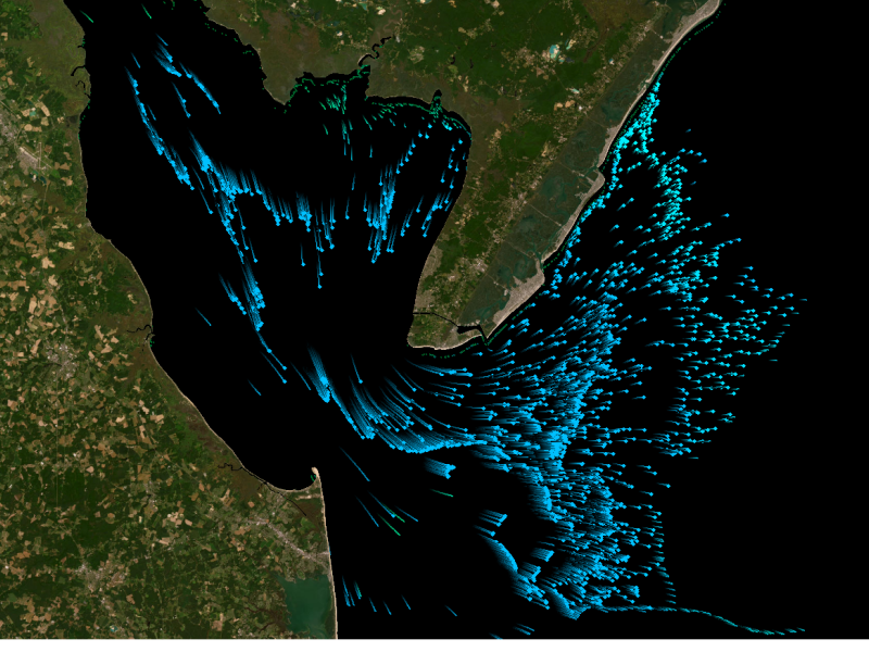
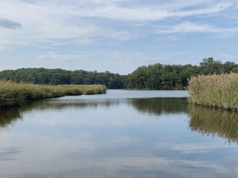
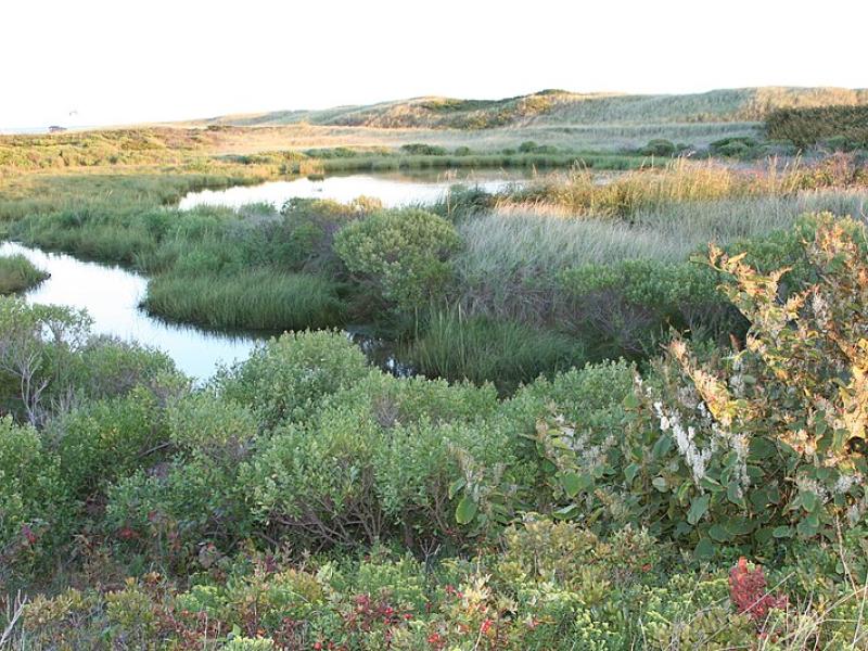
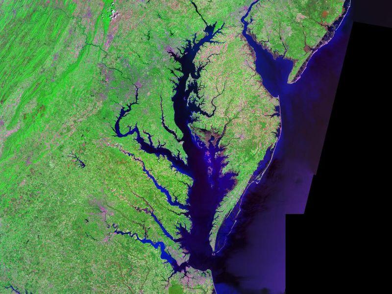
The Coastal Observations, Mechanisms, and Predictions Across Systems and Scales: Field, Measurements, and Experiments project established a network of observational field sites across Chesapeake Bay and western Lake Erie.
Due to their inherent variability and complexity over space and time, scientists are challenged to understand the complex interactions among soil, vegetation, and water along coastal terrestrial-aquatic interfaces.
This study characterized above- and below-ground properties to explore the spatial heterogeneity of the terrestrial aquatic interface ecosystem within the Chesapeake Bay area and evaluate the major drivers of soil respiration.
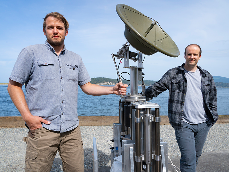
Engineers at PNNL devised a system that allows radar antennae to maintain stable orientation while mounted on platforms in open water that pitch and roll unpredictably. They were recently invited to participate in DOE's I-Corps program.
This study evaluated the sensitivity of multiple geophysical methods to measure and evaluate the spatiotemporal variability of select soil properties across terrestrial–aquatic interfaces.