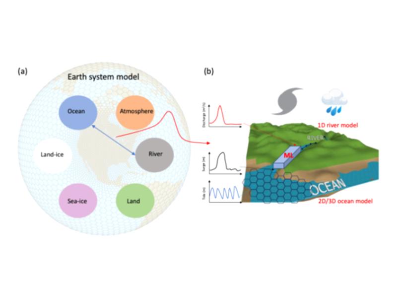
From studying the multisector ripple effects of extreme events to exploring the chemical reactions that underlie life on Earth, two up-and-coming PNNL scientists were recognized for their scientific vision and prowess.
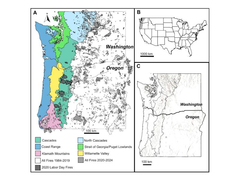
A new modeling approach uses burn severity maps to test how reduced infiltration shifts surface water from soil penetration into streams after wildfire.
Model simulations in humid and semi-arid basins revealed distinct thresholds where wildfires begin to significantly alter river water flows and dissolved nutrient transport.
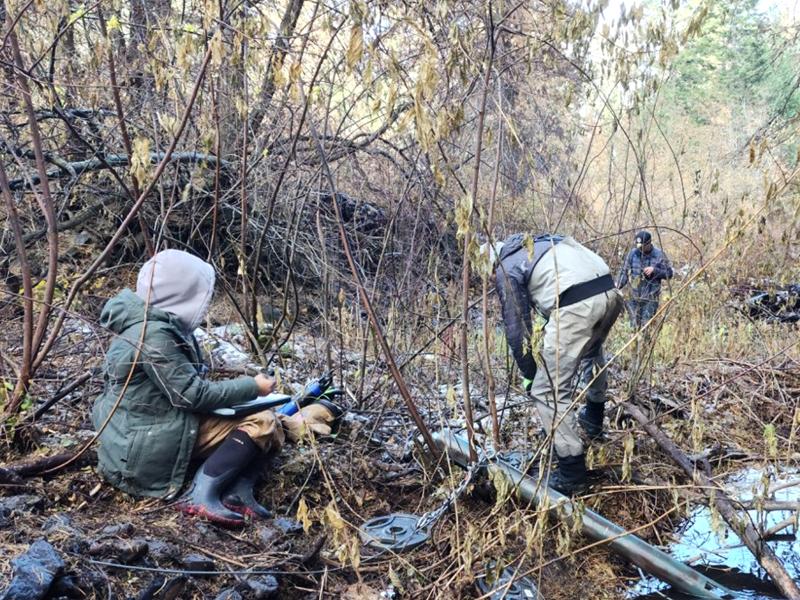
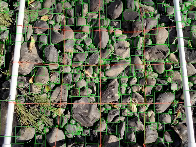
Across 47 sites in the Yakima River Basin of Washington State, faster oxygen consumption occurred with warmer water, more nutrients, and more suspended solids.
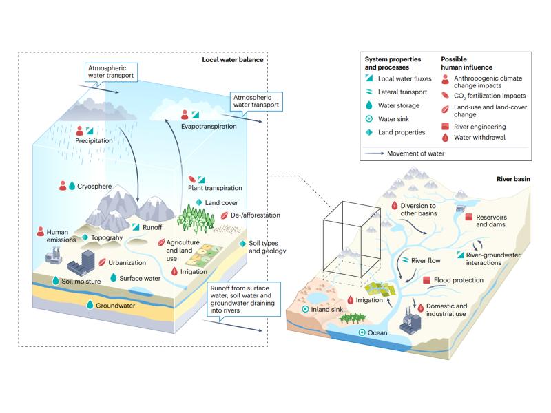
A theoretical index linking precipitation and atmospheric evaporative demand explains historical land humidity changes across observations, reanalyses, and climate models.
Observations, reanalysis, and E3SMv3 experiments linked inter-annual variability of Congo Basin surface temperature to the zonal position of precipitation over the Indo-Pacific maritime continent region.
Watershed-based representation discretized into topographic subgrid units better captured small-scale land cover, precipitation, temperature, and snow variability across multiple spatial scales.
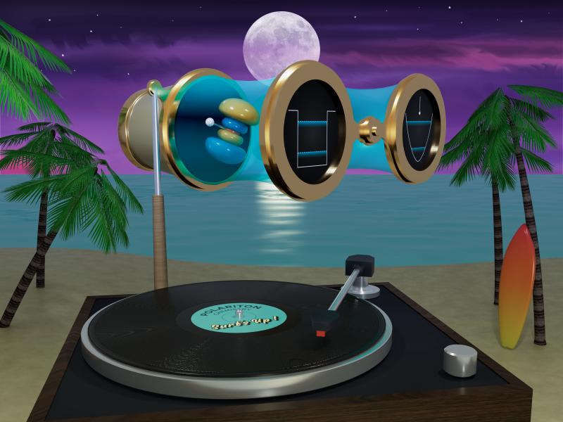
Dynamic organic matter traits tied to reactions can surpass static descriptors in explaining decomposition rates and responses to environmental change.
Using an AI approach to combine outputs from microbial models and apply them as inputs to reactive-transport models reduces computational time by several orders of magnitude.
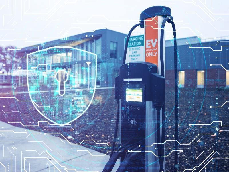
PNNL has developed a next-generation electrical resistivity tomography system for DOE that uses E4D software and AI-enhanced modeling to produce real-time subsurface images that help guide environmental remediation decisions.
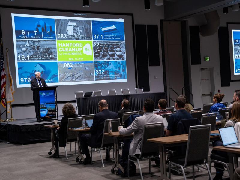
RemPlex 2025 Global Summit on Environmental Remediation attendees share knowledge about cleanup and monitoring of complex sites worldwide; more than 100 presentations are posted online.