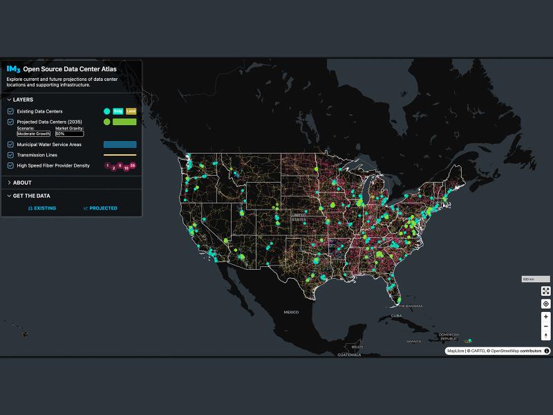
Now, anyone can easily explore and access data from a nationwide map of data centers, the infrastructure that powers them, and projections of future data center locations.
Utilities across Washington join PNNL and the Washington State Department of Commerce to explore new tools and strategies for building resilient and reliable power systems.
From developing new energy storage materials to revealing patterns of Earth’s complex systems, studies led by PNNL researchers are recognized for their innovation and influence.
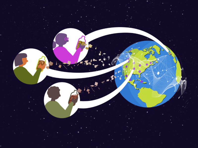
Distributed science is thriving at PNNL, where scientists share data and collaborate with researchers around the world to increase the impact of the work.
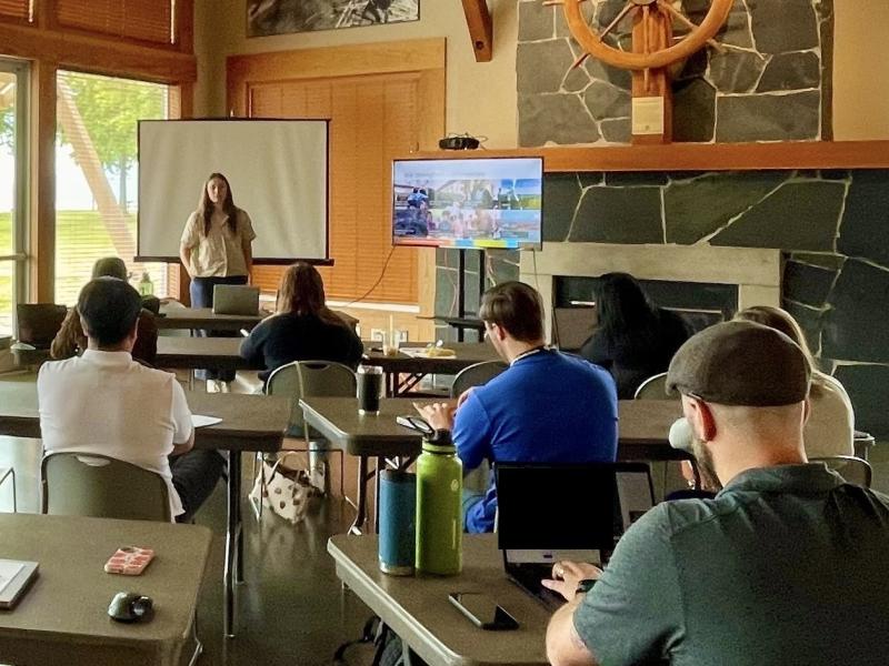
This summer, PNNL hosted the inaugural “As Conductive As Copper” (AC2.0) workshop, fostering a collaborative conversation on the future of the U.S. copper supply chain.
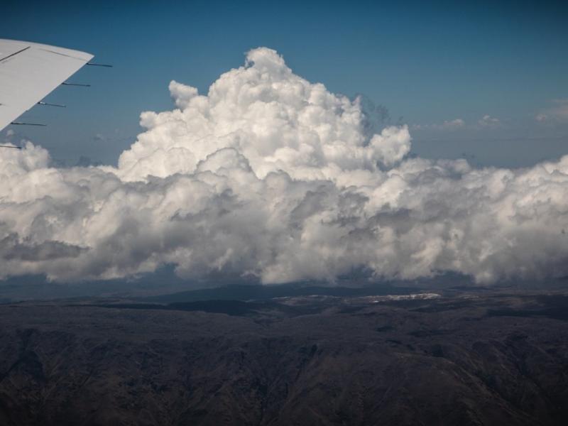
The ability of a storm-resolving weather model to predict the growth of storms over central Argentina was evaluated with data from the Clouds, Aerosols, and Complex Terrain Interactions (CACTI) field campaign in central Argentina.
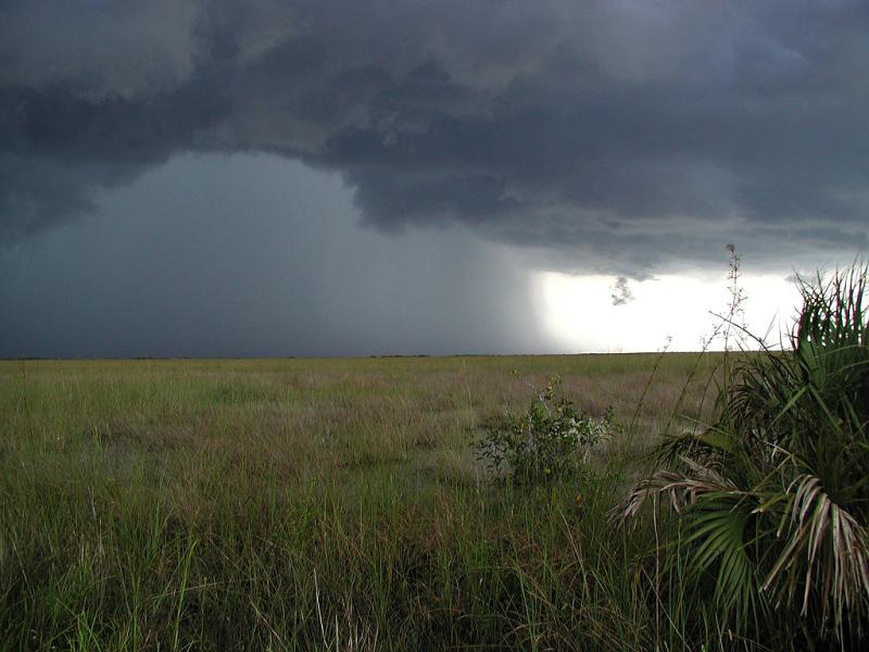
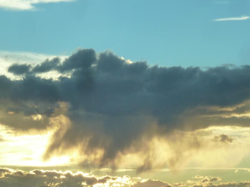
Large clusters of organized thunderstorms, called mesoscale convective systems, account for half of summer rainfall in the central and eastern U.S. Their formation can be influenced by weather patterns in the mid-levels of the troposphere.
Atmospheric aerosol particles modulate climate and the Earth’s energy balance by scattering and absorbing sunlight. They also seed clouds, acting as cloud condensation nuclei.
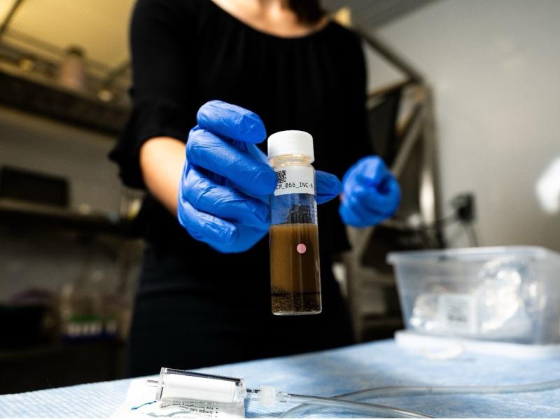
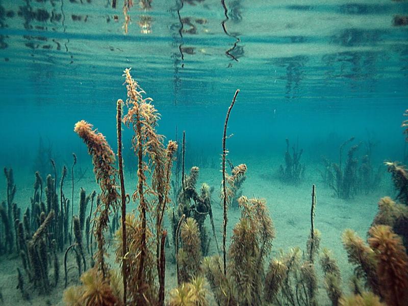
Researchers from PNNL and Parallel Works, Inc., applied machine learning methods to predict how much oxygen and nutrients are used by microorganisms in river sediments.
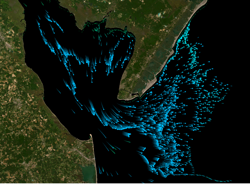
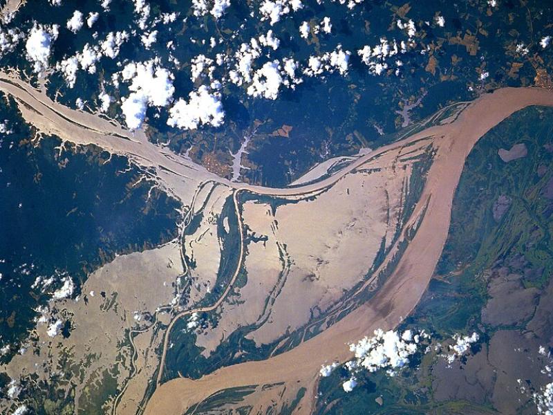
High-resolution hydrodynamic-sediment modeling shows that inundation, suspended sediment concentration in the Amazon River, and floodplain hydrodynamics drive sediment deposition in Amazonian floodplains.
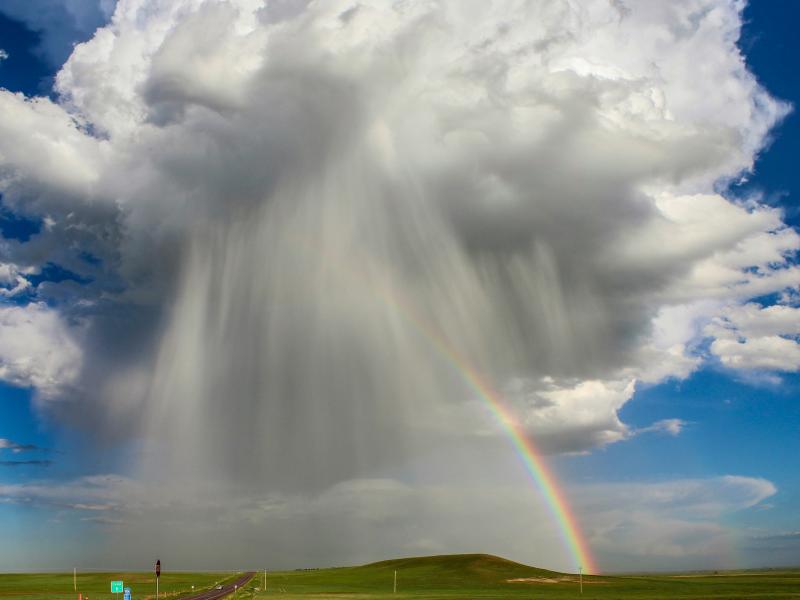
The rate of conversion of cloud droplets to precipitation, known as the autoconversion rate, remains a major source of uncertainty in characterizing aerosol’s cloud lifetime effects and precipitation in global and regional models.
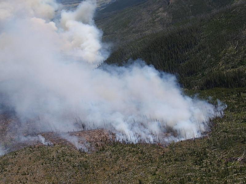
This study used historical data, remote sensing, and aquatic sensors to measure how far wildfire impacts propagated through the watershed after the 2022 Hermit’s Peak/Calf Canyon fire, New Mexico’s largest wildfire in history.
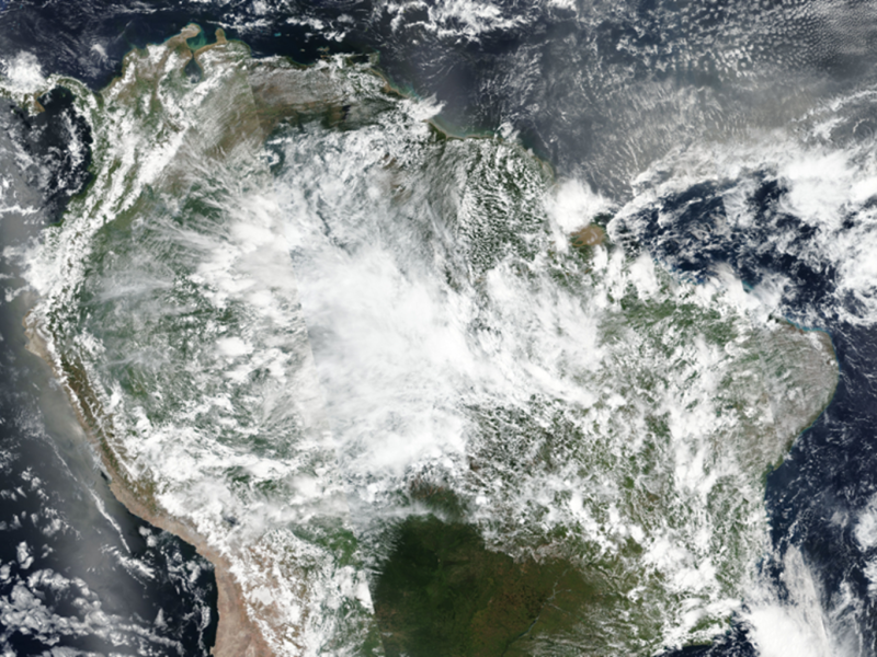
The prediction of rainfall over the Amazon rainforest by weather and climate models is highly uncertain, particularly for large rainstorms which are commonly seen during the wet season, from March to May.
Two new publications provide emergency response agencies with critical insights into commercially available unmanned ground vehicles used for hazardous materials response.
Extensive in situ and remote sensing measurements were collected to address data gaps and better understand the interactions of convective clouds and the surrounding environment.