The Community Earth atmospheric Data System (CEDS) provides historical surface flux data that are used for general analysis and also for model validation through comparisons with observations.
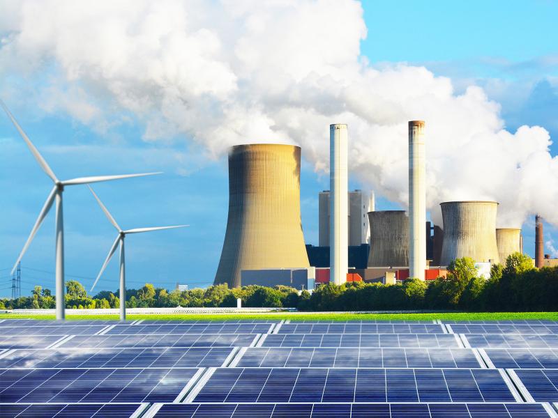
PNNL is helping communities with significant historical ties to fossil energy understand opportunities and pursue numerous federal resources available to support coal power plant redevelopment.
E4D is a 3D geophysical modeling and inversion program designed for subsurface imaging and monitoring using static and time-lapse electrical resistivity tomography (ERT), spectral induced polarization (SIP) and travel-time tomography data.
The Joint Global Change Research Institute conducts research to advance fundamental understanding of human and Earth systems and provide decision-relevant information for management of emerging global risks and opportunities.
PNNL administers two research buoys for the U.S. Department of Energy that allows collection of wind meteorological and oceanographic data off the nation's coasts.
PNNL is a testbed for the latest research and technologies in marine carbon dioxide removal (mCDR)—leveraging the ocean’s strength as a natural carbon sink to address pressing climate concerns.
The Molecular Observation Network is a national open science network designed to produce a comprehensive database of molecular and microstructural information on soil, water, microbial communities, and biogenic emissions.
PNNL and the United States Geological Survey are partnering to develop a buoy-based radar system capable of measuring bird and bat abundances and behaviors at offshore locations.
STOMP is a suite of numerical simulators for solving problems involving coupled flow and transport processes in the subsurface. The suite of STOMP simulators is distinguished by application areas and solved mathematical equations.