The Center for Understanding Subsurface Signals and Permeability (CUSSP) Energy Earthshot Research Center (EERC) is working to develop the ability to predict and control fluid flow through fracture networks in enhanced geothermal systems.
E4D is a 3D geophysical modeling and inversion program designed for subsurface imaging and monitoring using static and time-lapse electrical resistivity tomography (ERT), spectral induced polarization (SIP) and travel-time tomography data.
The Grid Storage Launchpad (GSL) is a national capability for energy storage research funded by the Department of Energy Office of Electricity and located on the Pacific Northwest National Laboratory (PNNL) campus in Richland, Washington
PNNL administers two research buoys for the U.S. Department of Energy that allows collection of wind meteorological and oceanographic data off the nation's coasts.
PNNL is a testbed for the latest research and technologies in marine carbon dioxide removal (mCDR)—leveraging the ocean’s strength as a natural carbon sink to address pressing climate concerns.
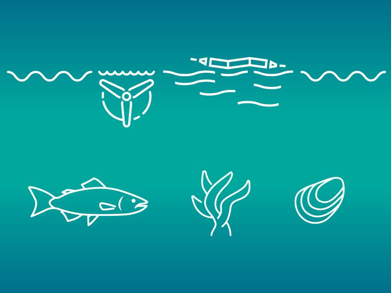
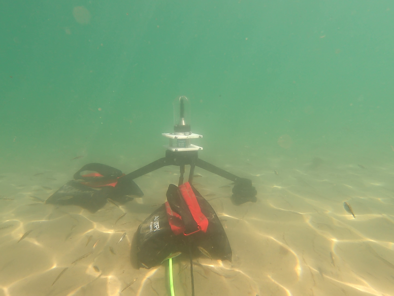
The Nereus Project aims to collect and analyze comprehensive environmental monitoring data around operational marine energy sites and devices in the United States.
The National Response Framework Policy Landscape Analysis Tool interactively captures and visualizes intricacies of the National Response Framework, a federal guide to national response to all types of disasters and emergencies.
PNNL's Ocean Dynamics Modeling group studies coastal processes such as marine-hydrokinetic energy, coastal circulations, storm surge and extreme waves, tsunamis, sediment transport and nutrient-macroalgal dynamics.
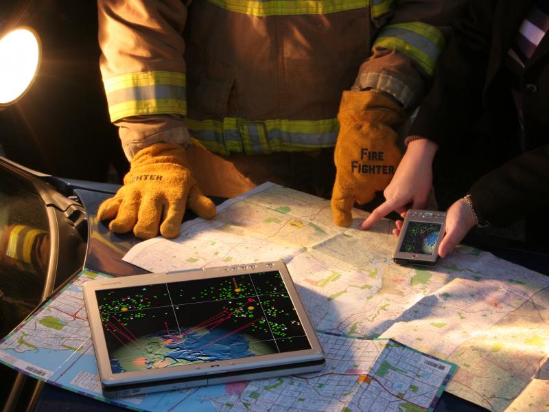
PNNL combines AI and cloud computing with damage assessment tools to predict the path of wildfires and quickly evaluate the impact of natural disasters, giving first responders an upper hand.