The Center for Understanding Subsurface Signals and Permeability (CUSSP) Energy Earthshot Research Center (EERC) is working to develop the ability to predict and control fluid flow through fracture networks in enhanced geothermal systems.
E4D is a 3D geophysical modeling and inversion program designed for subsurface imaging and monitoring using static and time-lapse electrical resistivity tomography (ERT), spectral induced polarization (SIP) and travel-time tomography data.
PNNL is a leader in the integration of aberration-corrected electron microscopy, in-situ techniques, and atom probe tomography to address challenges in nuclear materials, environmental remediation, energy storage, and national security.
PNNL partners with agencies and industry to identify and engage historically disadvantaged populations in regulatory decision-making, environmental assessment, and impact estimation of the consequences of complex polices and projects.
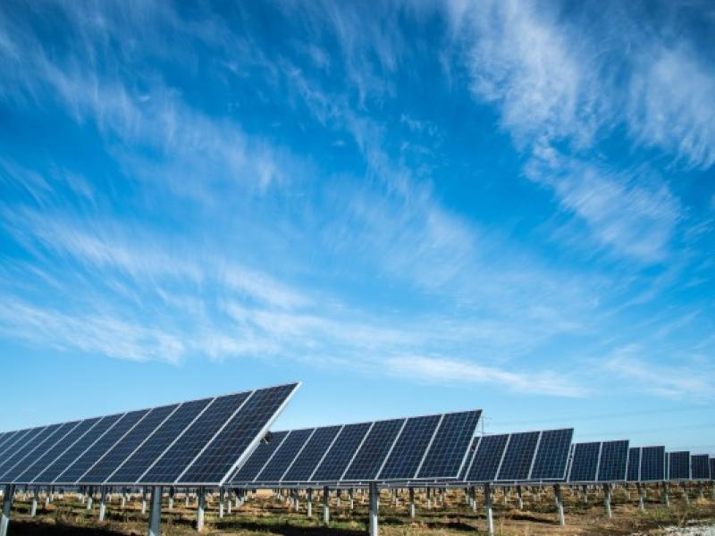
By improving the Weather Research and Forecasting (WRF)-Solar model, this project aims to reduce forecast errors, improve sub-grid scale variability estimates, and more accurately estimate forecast uncertainty.
The Isotope Program at PNNL supports scientific advances in the production and use of radioisotopes for research, medicine, and industrial applications.
PNNL administers two research buoys for the U.S. Department of Energy that allows collection of wind meteorological and oceanographic data off the nation's coasts.
PNNL is heavily engaged in the development and use of mass spectrometry technology across its science, energy, and security missions, from fundamental research through mature operational capabilities.
The National Response Framework Policy Landscape Analysis Tool interactively captures and visualizes intricacies of the National Response Framework, a federal guide to national response to all types of disasters and emergencies.
PNNL wind energy experts are helping to design a new avian radar system that will be equipped on lidar buoys to detect avian activity over open water and near offshore wind turbines.
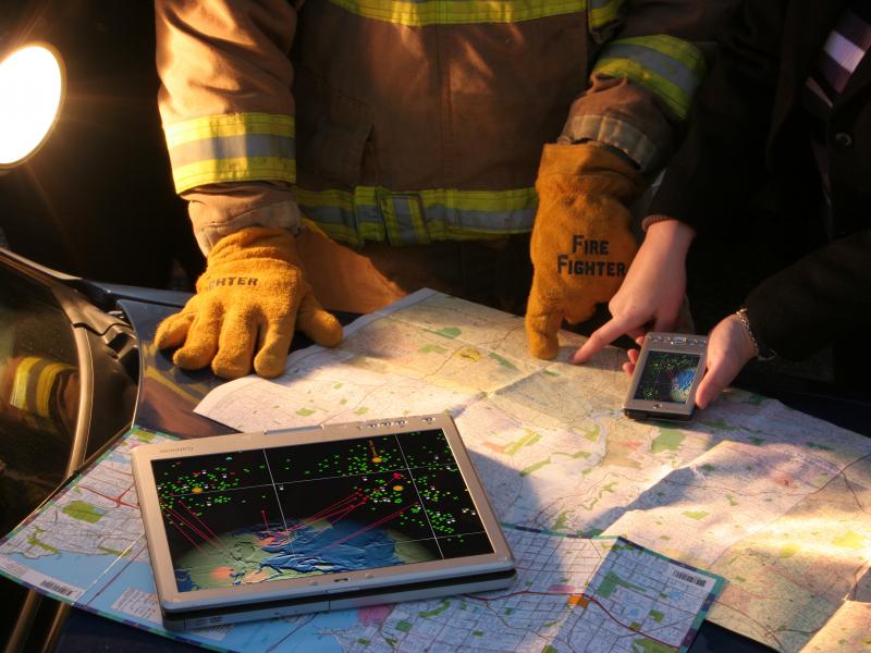
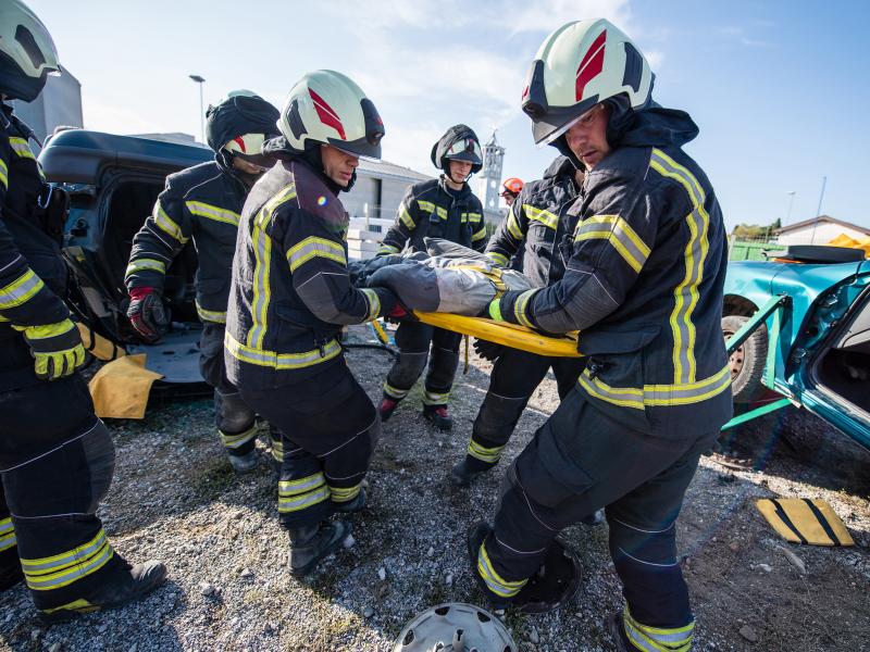
PNNL combines AI and cloud computing with damage assessment tools to predict the path of wildfires and quickly evaluate the impact of natural disasters, giving first responders an upper hand.
STOMP is a suite of numerical simulators for solving problems involving coupled flow and transport processes in the subsurface. The suite of STOMP simulators is distinguished by application areas and solved mathematical equations.
PNNL researchers developed and manage the online database Tethys to actively collects and curates information on the environmental effects of wind and marine energy.
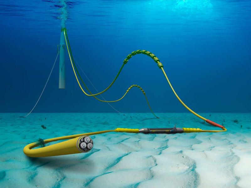
PNNL wind energy experts led a project to review existing literature focusing on the technical evaluation of offshore wind energy transmission through potential points of interconnection at the West Coast.