Innovative cement and concrete technologies at PNNL enhance durability and performance through self-healing formulations and cost-effective, high-performance materials derived from waste, enabling more resilient, reliable infrastructure.
The Biodefense Policy Landscape Analysis Tool (B-PLAT), captures and presents a slew of information about U.S. efforts to protect its citizens and others around the world from diverse threats.
RemPlex provides a global forum committed to fostering technical leadership, collaborative research, and professional development that facilitates the cost-effective remediation of complex sites.
E4D is a 3D geophysical modeling and inversion program designed for subsurface imaging and monitoring using static and time-lapse electrical resistivity tomography (ERT), spectral induced polarization (SIP) and travel-time tomography data.
PNNL’s integrated software systems (FRAMES, MEPAS, MetView, APGEMS, CAPP) allow users to assess the environmental fate and transport of contaminants—and the potential impacts on humans and the environment—in a systematic, holistic approach.
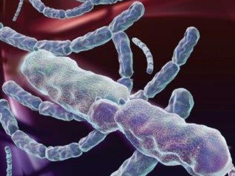
From global issues such as melting permafrost and the creation of alternate biofuels to matters affecting microbiomes and micro-sized life, PNNL research is featured in news publications worldwide.
PNNL is a leader in the integration of aberration-corrected electron microscopy, in-situ techniques, and atom probe tomography to address challenges in nuclear materials, environmental remediation, energy storage, and national security.
The Ion Dynamics in Radioactive Environments and Materials (IDREAM) Energy Frontier Research Center (EFRC) conducts fundamental science to support innovations in retrieving and processing high-level radioactive waste.
PNNL is heavily engaged in the development and use of mass spectrometry technology across its science, energy, and security missions, from fundamental research through mature operational capabilities.