Filters applied: Earth & Coastal Sciences, Biology, Energy Efficiency, Hydropower and the Electric Grid, Grid Integration of Renewable Energy, Chemical & Biothreat Signatures
The Biodefense Policy Landscape Analysis Tool (B-PLAT), captures and presents a slew of information about U.S. efforts to protect its citizens and others around the world from diverse threats.
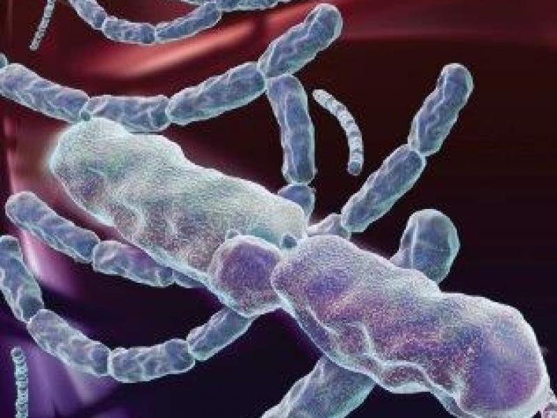
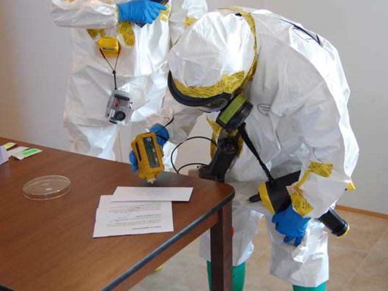
PNNL partners with the Department of Homeland Security, industry, and the first-responder community to improve the effectiveness and safety during biodetection responses.
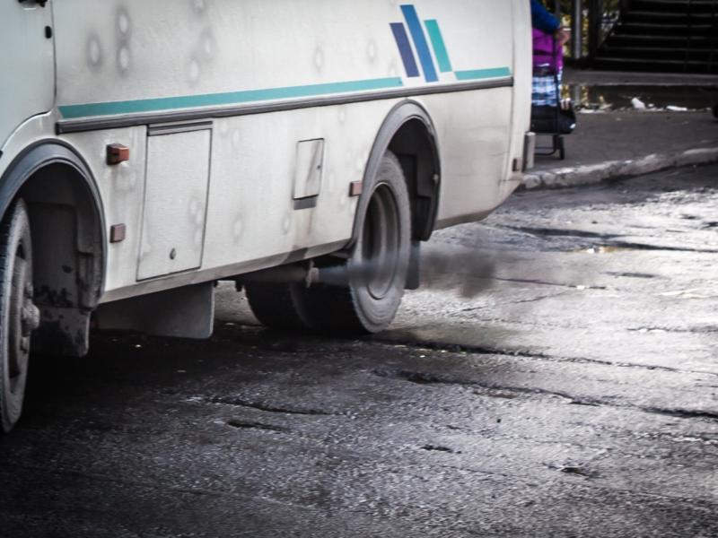
The Community Emissions Data System (CEDS) provides historical emissions data are used both for general analysis and assessment and also for model validation through comparisons with observations.
RemPlex provides a global forum committed to fostering technical leadership, collaborative research, and professional development that facilitates the cost-effective remediation of complex sites.
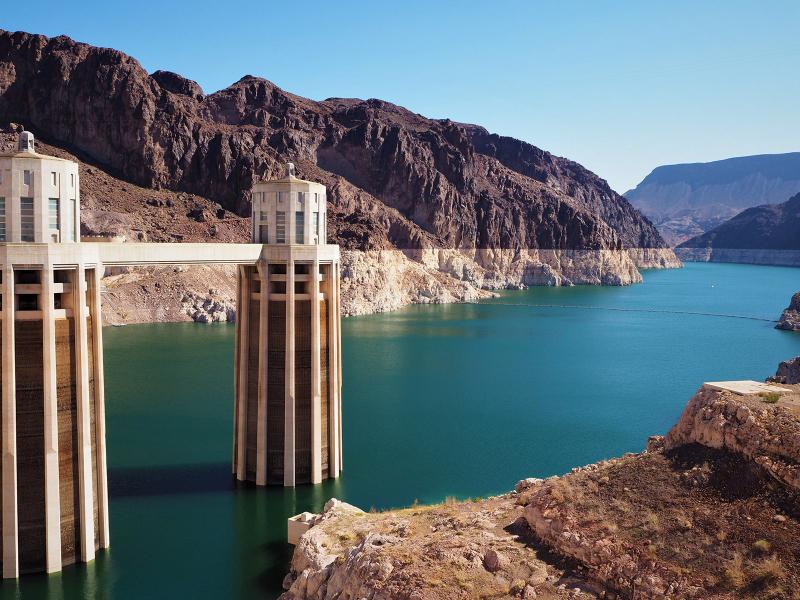
PNNL’s pioneering CETC project with regional universities demonstrates transactive controls among multiple commercial buildings and devices for energy efficiency and grid reliability.
In January 2024, CESER—in partnership with GDO, NASEO, and PNNL—created a set of state energy security cohorts to support the coordination and technical development of state energy security planning, assessment, and mitigation.
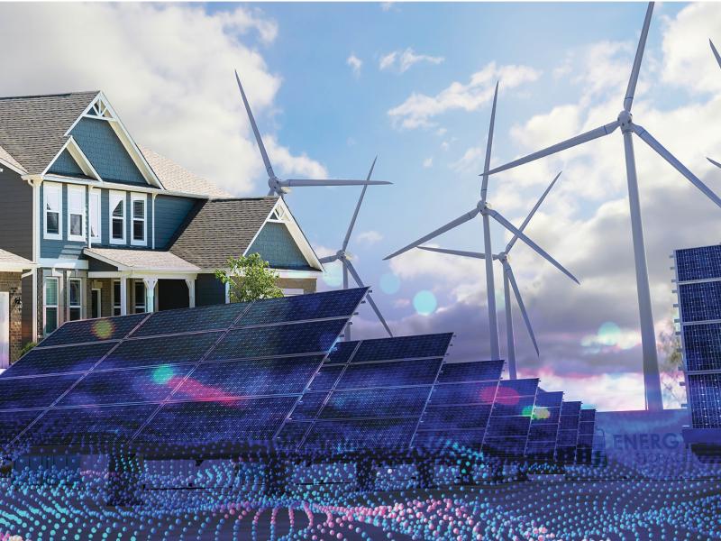
The E-COMP Initiative is creating new capabilities that enable the optimized design and operation of energy systems subject to multiple objectives and with high levels of power electronic (PEL) driven devices.
E4D is a 3D geophysical modeling and inversion program designed for subsurface imaging and monitoring using static and time-lapse electrical resistivity tomography (ERT), spectral induced polarization (SIP) and travel-time tomography data.
PNNL’s integrated software systems (FRAMES, MEPAS, MetView, APGEMS, CAPP) allow users to assess the environmental fate and transport of contaminants—and the potential impacts on humans and the environment—in a systematic, holistic approach.