The Community Earth atmospheric Data System (CEDS) provides historical surface flux data that are used for general analysis and also for model validation through comparisons with observations.
PNNL supports U.S. government strategy and capability building efforts for international partners to understand and implement United Nations sanctions on preventing the financing, development, and spread of destructive weapons.
Pacific Northwest National Laboratory’s (PNNL) Generative AI (GenAI) investment aims to harness this transformative technology to drive innovation across the science, energy, and security research domains.
GeoBOSS is a software library that combines the data-handling capabilities of Spark and the user-friendliness of Python to simplify geospatial analytics and the transition between small-scale research and large-scale operational projects.
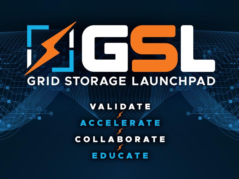
The Grid Storage Launchpad (GSL) is a national capability for energy storage research funded by the Department of Energy Office of Electricity and located on the Pacific Northwest National Laboratory (PNNL) campus in Richland, Washington
PNNL delivers workshops, consultations, and trainings for foreign partners to strengthen their implementation of international and multilateral sanctions regimes.
IrrigationViz is a visual decision-support tool that provides users with high-level estimates for irrigation modernization projects, such as concrete lining for a canal or replacing a canal with a pipeline.