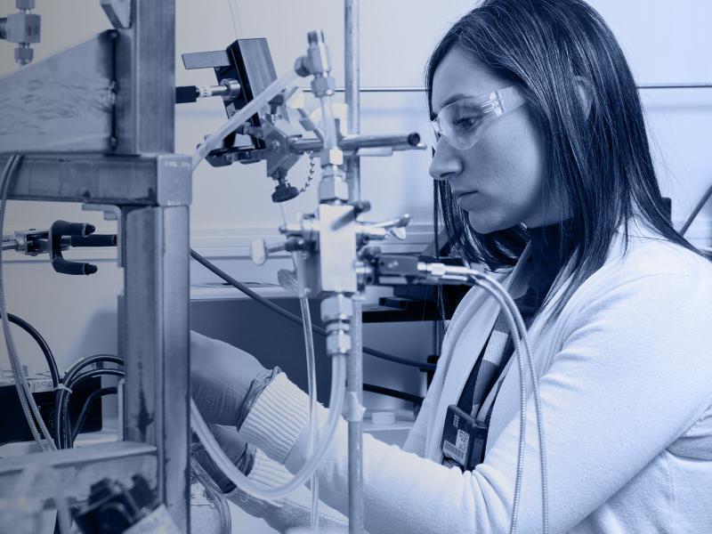
PNNL is leading the nation with research addressing urgent needs for reimagining U.S. critical infrastructure against the realities of software-speed attacks and hazards.
The Community Earth atmospheric Data System (CEDS) provides historical surface flux data that are used for general analysis and also for model validation through comparisons with observations.
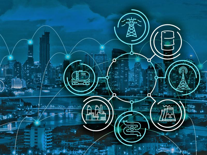
Cyber, physical, and blended cyber-physical threats are real, ubiquitous, and expensive to deal with. Private companies, government institutions, and critical infrastructures struggle to implement viable solutions as technology evolves.
RemPlex provides a global forum committed to fostering technical leadership, collaborative research, and professional development that facilitates the cost-effective remediation of complex sites.
The Center for Understanding Subsurface Signals and Permeability (CUSSP) Energy Earthshot Research Center (EERC) is working to develop the ability to predict and control fluid flow through fracture networks in enhanced geothermal systems.
PNNL supports U.S. government strategy and capability building efforts for international partners to understand and implement United Nations sanctions on preventing the financing, development, and spread of destructive weapons.
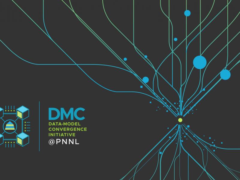
The Data-Model Convergence (DMC) Initiative is a multidisciplinary effort to create the next generation of scientific computing capability through a software and hardware co-design methodology.
E4D is a 3D geophysical modeling and inversion program designed for subsurface imaging and monitoring using static and time-lapse electrical resistivity tomography (ERT), spectral induced polarization (SIP) and travel-time tomography data.