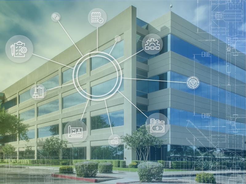
FEMP's operations and maintenance (O&M) resources offer federal agencies technology- and management-focused guidance to improve energy and water efficiency and ensure safer and more reliable operations.
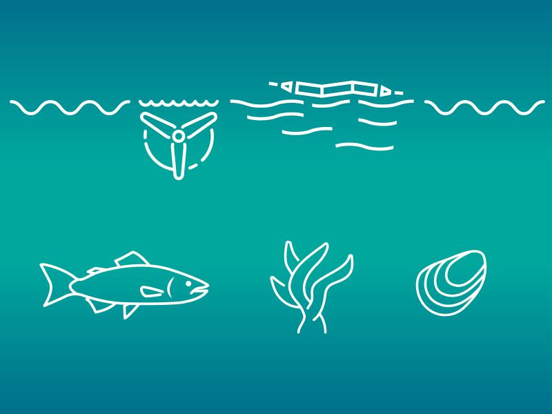
PNNL's Ocean Dynamics Modeling group studies coastal processes such as marine-hydrokinetic energy, coastal circulations, storm surge and extreme waves, tsunamis, sediment transport and nutrient-macroalgal dynamics.
PNNL wind energy experts are helping to design a new avian radar system that will be equipped on lidar buoys to detect avian activity over open water and near offshore wind turbines.
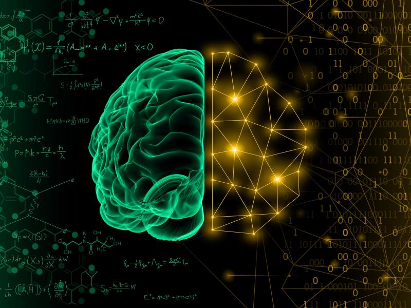
Physics-informed machine learning (PIML) is a modeling approach that harnesses the power of machine learning and big data to improve the understanding of coupled, dynamic systems.
PNNL data scientists and engineers will be presenting at NeurIPS, the Thirty Fourth Conference on Neural Information Processing Systems, and the co-located Women in Machine Learning workshop, WiML.
The Pacific Northwest National Laboratory is developing a Port Electrification Handbook—a reference to aid maritime ports nationwide in their clean energy transition.
PREPARES demonstrates linkages between climate or weather conditions and human domain systems by combining quantitative geophysical data with qualitative data.
PNNL combines AI and cloud computing with damage assessment tools to predict the path of wildfires and quickly evaluate the impact of natural disasters, giving first responders an upper hand.
STOMP is a suite of numerical simulators for solving problems involving coupled flow and transport processes in the subsurface. The suite of STOMP simulators is distinguished by application areas and solved mathematical equations.
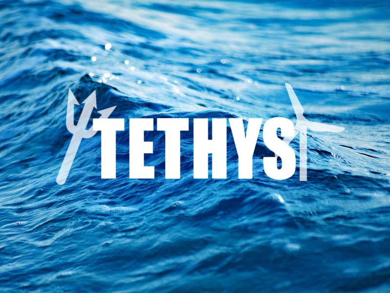
PNNL researchers developed and manage the online database Tethys to actively collects and curates information on the environmental effects of wind and marine energy.
PNNL has developed a tool suite of interactive analytics that can be rapidly integrated into analyst workflows to empirically analyze and gain qualitative understanding of AI model performance jointly across dimensions.
The UNSAT-H computer code is used to understand the movement of water, heat, and vapor in soils so more informed decisions can be made about land use, waste disposal, and climate change.