A new set of resources from PNNL helps guide dam owners and operators through response and recovery actions in the wake of cybersecurity or unusual incidents.
By improving the Weather Research and Forecasting (WRF)-Solar model, this project aims to reduce forecast errors, improve sub-grid scale variability estimates, and more accurately estimate forecast uncertainty.
IrrigationViz is a visual decision-support tool that provides users with high-level estimates for irrigation modernization projects, such as concrete lining for a canal or replacing a canal with a pipeline.
PNNL administers two research buoys for the U.S. Department of Energy that allows collection of wind meteorological and oceanographic data off the nation's coasts.
PNNL is a testbed for the latest research and technologies in marine carbon dioxide removal (mCDR)—leveraging the ocean’s strength as a natural carbon sink to address pressing climate concerns.
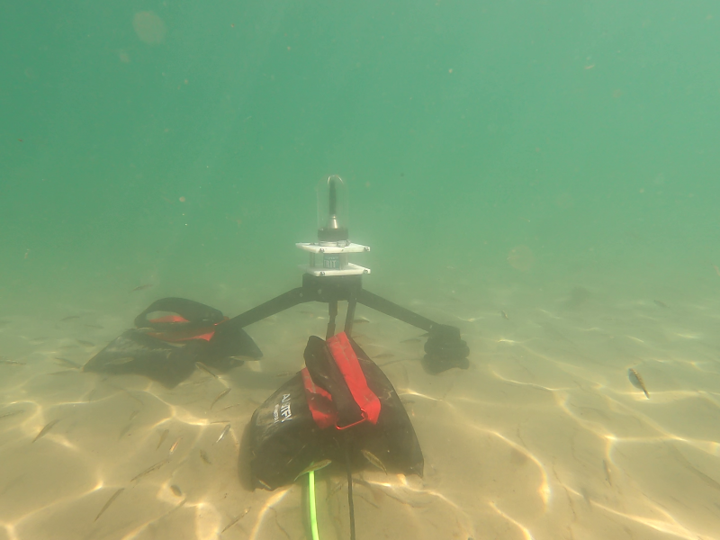
The Nereus Project aims to collect and analyze comprehensive environmental monitoring data around operational marine energy sites and devices in the United States.
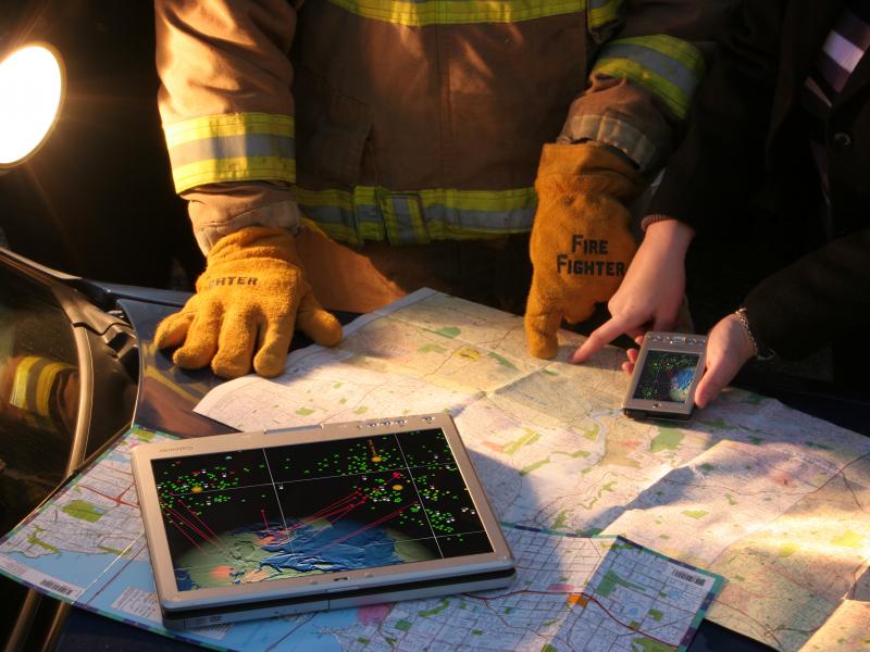
The National Response Framework Policy Landscape Analysis Tool interactively captures and visualizes intricacies of the National Response Framework, a federal guide to national response to all types of disasters and emergencies.
PNNL's Ocean Dynamics Modeling group studies coastal processes such as marine-hydrokinetic energy, coastal circulations, storm surge and extreme waves, tsunamis, sediment transport and nutrient-macroalgal dynamics.
PNNL and the United States Geological Survey are partnering to develop a buoy-based radar system capable of measuring bird and bat abundances and behaviors at offshore locations.