PNNL has developed a next-generation electrical resistivity tomography system for DOE that uses E4D software and AI-enhanced modeling to produce real-time subsurface images that help guide environmental remediation decisions.
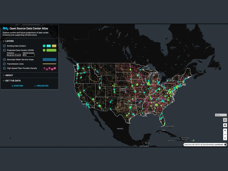
Now, anyone can easily explore and access data from a nationwide map of data centers, the infrastructure that powers them, and projections of future data center locations.
New datasets delineating global urban land support scientific research, application, and policy, but they can produce different results when applied to the same problem making it difficult for researchers to decide which to use.
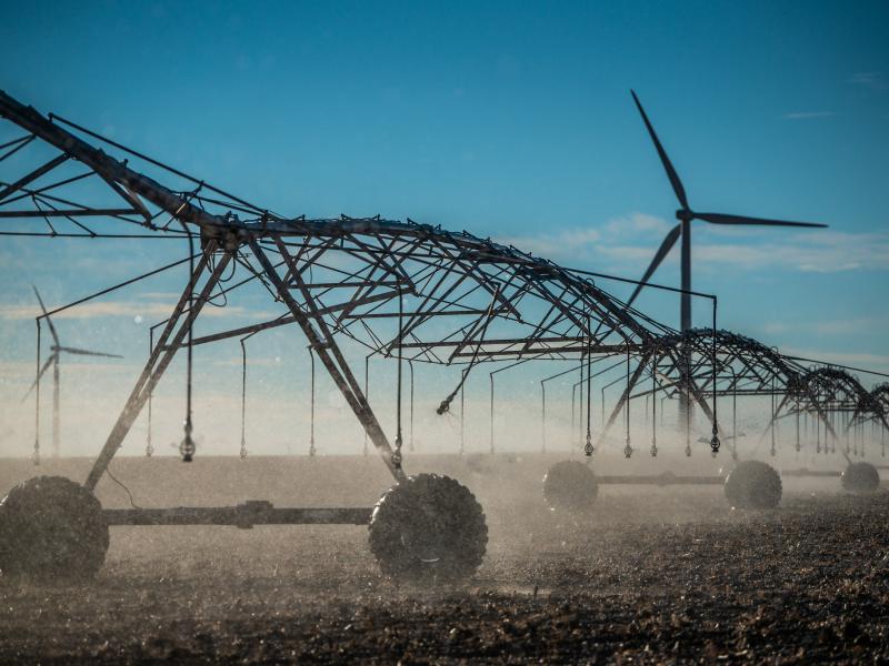
The demand for energy is growing—and so is the technology supporting it. However, future development of power generation technologies could be affected by a key factor: material supply.
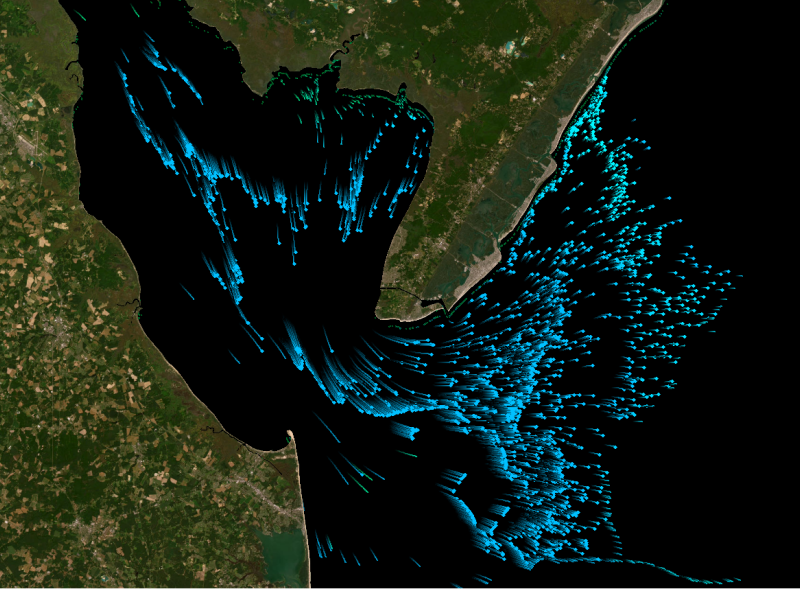
Researchers found that in a future where the Great Plains are 4 to 6 degrees Celsius (°C) warmer as projected in a high-emission scenario, these storms could bring three times more intense rainfall.
To improve our ability to “see” into the subsurface, scientists need to understand how different mineral surfaces respond to electrical signals at the molecular scale.
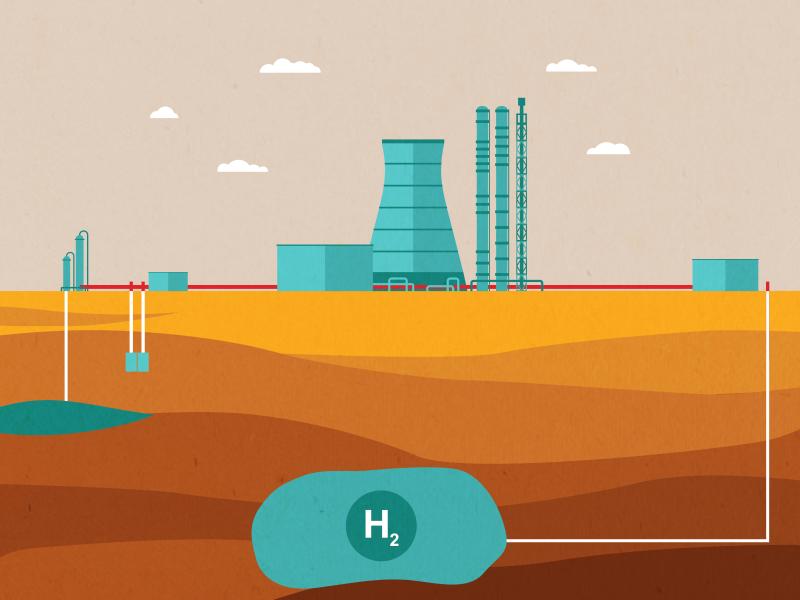
The SHASTA program is doing a deep dive on subsurface hydrogen storage in underground caverns, helping to lay the foundation for a robust hydrogen economy.
PNNL’s Center for the Remediation of Complex Sites convened attendees from around the world to discuss challenges associated with environmental contamination.