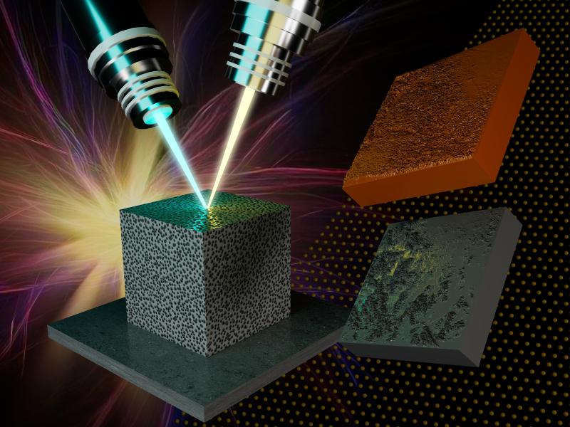
PNNL has developed a next-generation electrical resistivity tomography system for DOE that uses E4D software and AI-enhanced modeling to produce real-time subsurface images that help guide environmental remediation decisions.
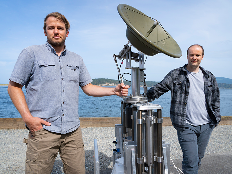
Engineers at PNNL devised a system that allows radar antennae to maintain stable orientation while mounted on platforms in open water that pitch and roll unpredictably. They were recently invited to participate in DOE's I-Corps program.
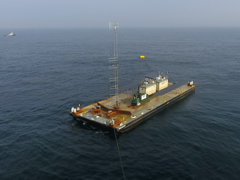
With the launch of a large research barge, PNNL and collaborators took another significant step to improve offshore wind forecasting that will lower risk and cost associated with offshore wind energy development.