A theoretical index linking precipitation and atmospheric evaporative demand explains historical land humidity changes across observations, reanalyses, and climate models.
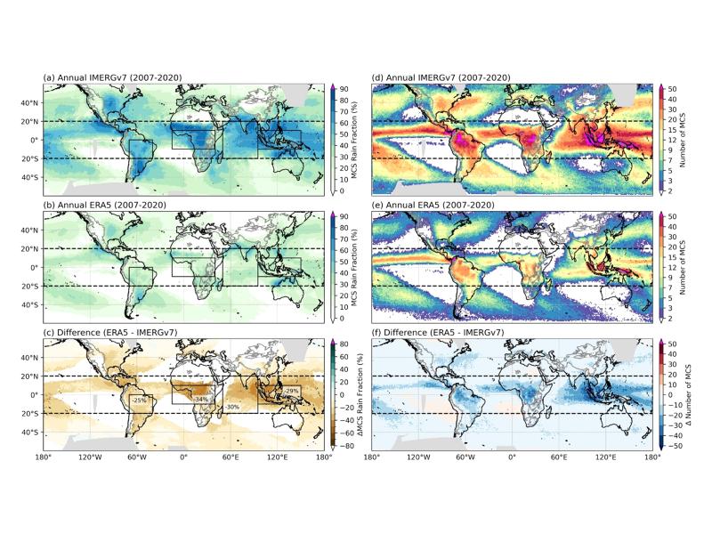
Observations, reanalysis, and E3SMv3 experiments linked inter-annual variability of Congo Basin surface temperature to the zonal position of precipitation over the Indo-Pacific maritime continent region.
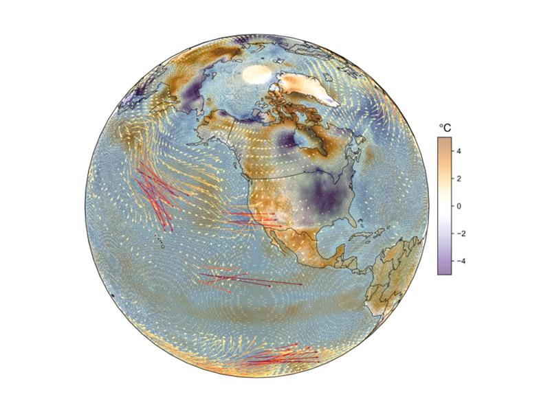
Quasi-stationary Rossby waves shape North American temperature extremes, but higher model resolution does not always improve their modeled representation.
Watershed-based representation discretized into topographic subgrid units better captured small-scale land cover, precipitation, temperature, and snow variability across multiple spatial scales.
Numerical simulations reveal how well-controlled wall temperature and moisture can generate a stratocumulus-like cloud top in a laboratory cloud chamber.
Tracking water age using a new precipitation tagging method within a hydrologic model generates key information to support hydropower energy and other water-dependent systems.
A research team from Pacific Northwest National Laboratory used machine reasoning to schedule scientific workflows while guaranteeing quality of service (QoS).
David Wunschel, a chemist and Laboratory Fellow, participated on a panel focused on how emerging technologies are transforming CBRN defense, detection, and response across military and government operations.
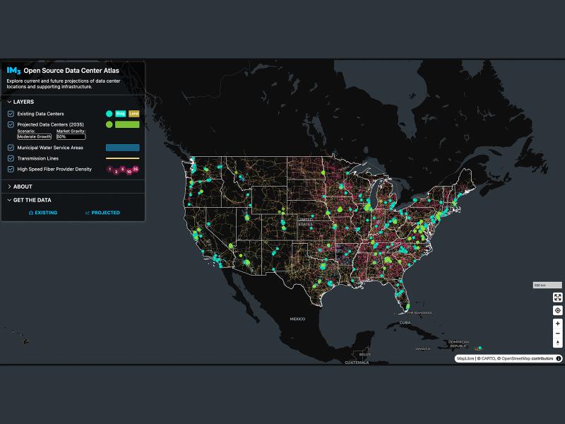
Now, anyone can easily explore and access data from a nationwide map of data centers, the infrastructure that powers them, and projections of future data center locations.