PNNL has developed a next-generation electrical resistivity tomography system for DOE that uses E4D software and AI-enhanced modeling to produce real-time subsurface images that help guide environmental remediation decisions.
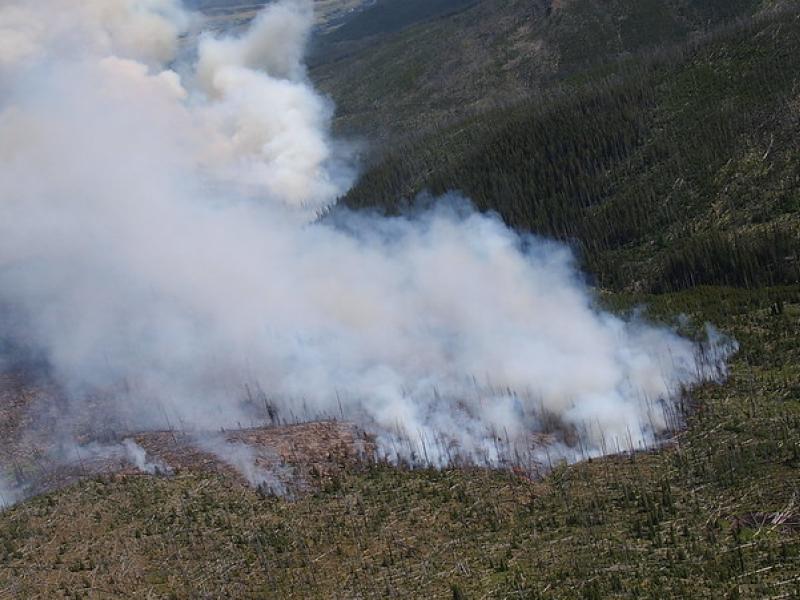
This study used historical data, remote sensing, and aquatic sensors to measure how far wildfire impacts propagated through the watershed after the 2022 Hermit’s Peak/Calf Canyon fire, New Mexico’s largest wildfire in history.
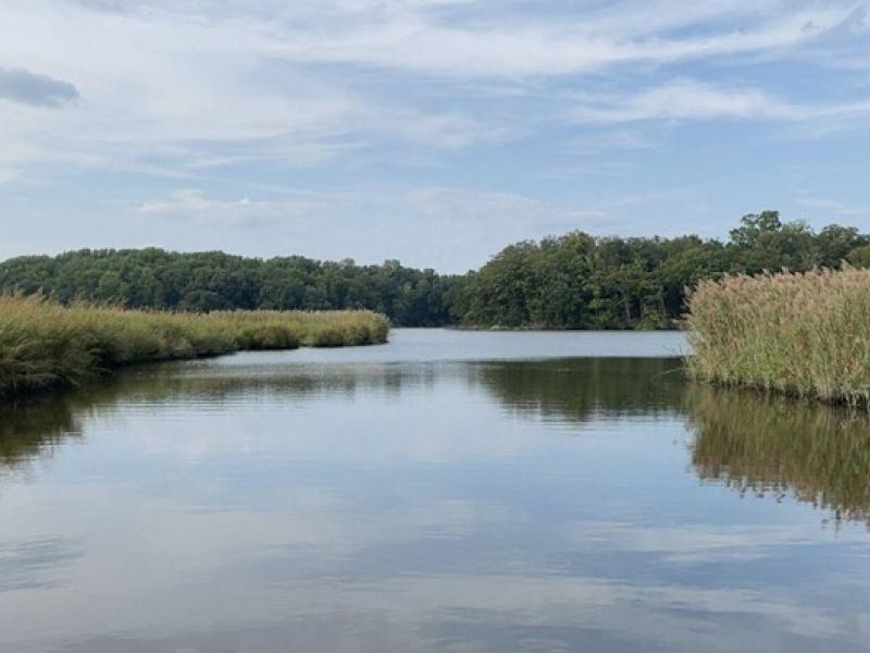
The Coastal Observations, Mechanisms, and Predictions Across Systems and Scales: Field, Measurements, and Experiments project established a network of observational field sites across Chesapeake Bay and western Lake Erie.
In a recent publication in Nature Communications, a team of researchers presents a mathematical theory to address the challenge of barren plateaus in quantum machine learning.
Researchers found that in a future where the Great Plains are 4 to 6 degrees Celsius (°C) warmer as projected in a high-emission scenario, these storms could bring three times more intense rainfall.
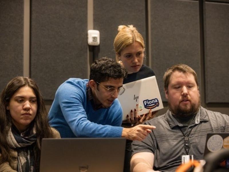
PNNL played host in mid-May to the Artificial Intelligence for Robust Engineering & Science workshop, an annual event that explores advances in artificial intelligence
PNNL recently partnered with Amazon Web Services for AWS GameDay, a gamified learning event that challenges participants to use AWS solutions to solve real-world technical problems in a team-based setting.
PNNL’s Center for the Remediation of Complex Sites convened attendees from around the world to discuss challenges associated with environmental contamination.
A team of scientists at PNNL developed new computational models to predict the behavior of these impurities and reduce the expense and risk related to actinide metal production.
Ripples demonstration will take place at the DOE booth at the International Conference for High Performance Computing, Networking, Storage, and Analysis.