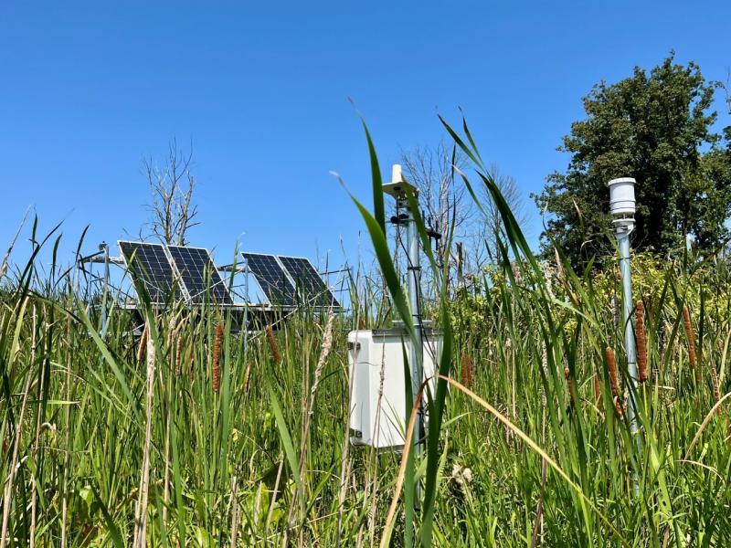
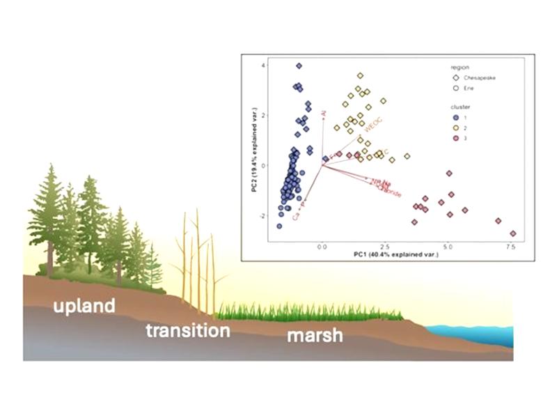
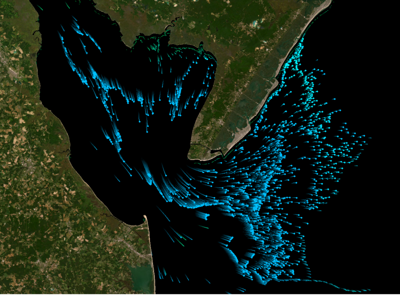
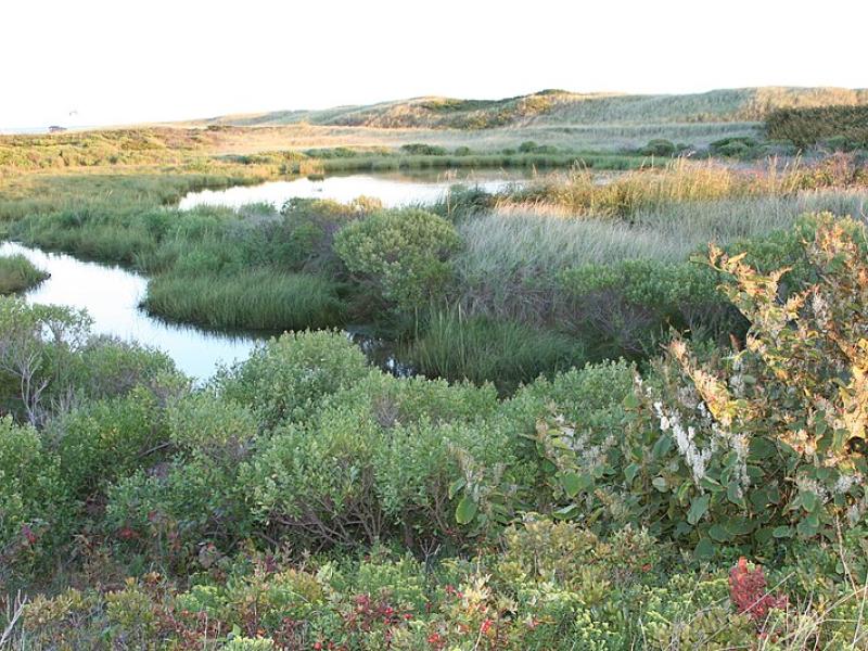
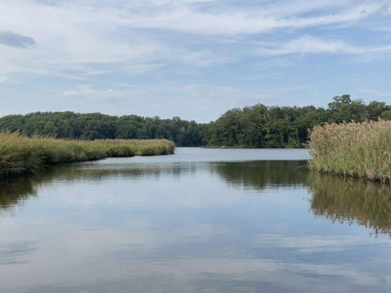
Newly designed sensor network comprehensively monitors a range of coastal landscapes to better understand nutrient and elemental dynamics that drive ecosystem function.
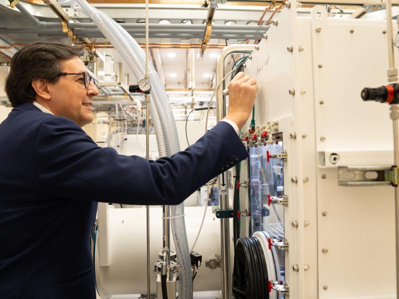
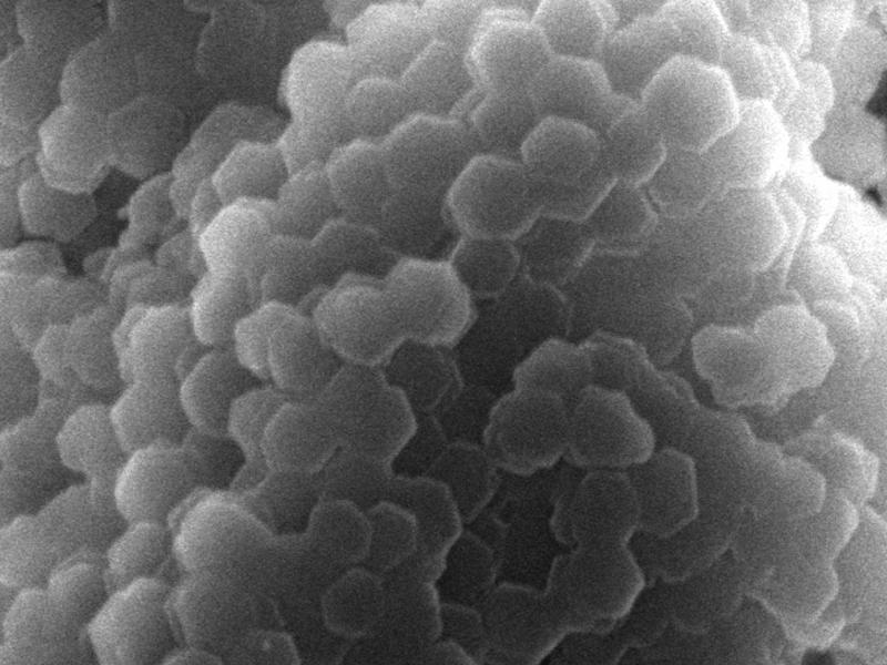
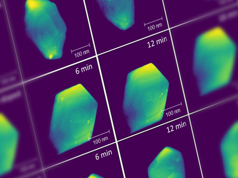
Using multiple specialized techniques, IDREAM researchers gained a better understanding of how trace impurities within gibbsite affect the hydrogen yield.
PNNL has developed a next-generation electrical resistivity tomography system for DOE that uses E4D software and AI-enhanced modeling to produce real-time subsurface images that help guide environmental remediation decisions.
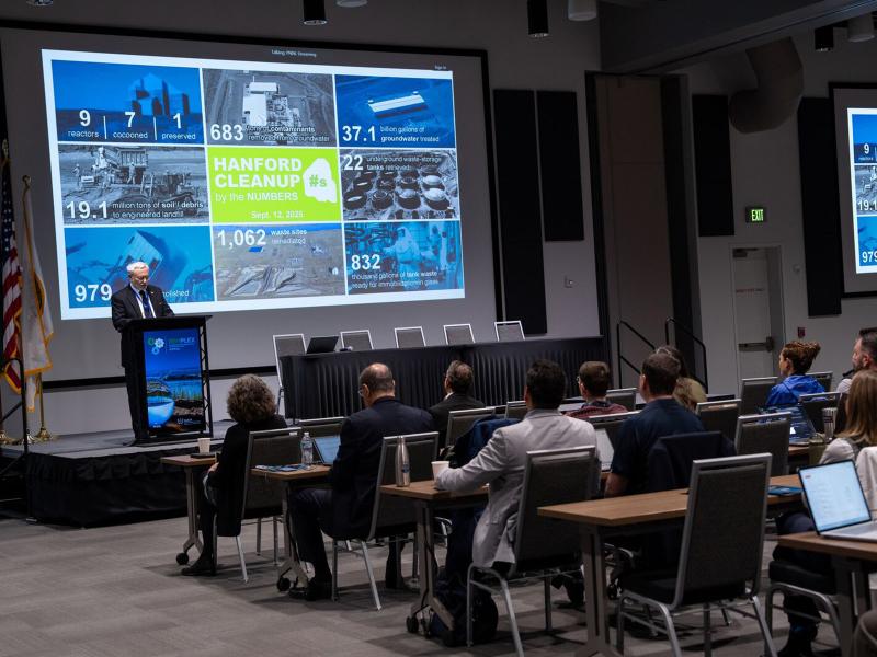
RemPlex 2025 Global Summit on Environmental Remediation attendees share knowledge about cleanup and monitoring of complex sites worldwide; more than 100 presentations are posted online.
Researchers at PNNL shared advances in artificial intelligence, cybersecurity, advanced imaging, and more at the Department of Homeland Security Research, Development, Test, and Evaluation Summit.
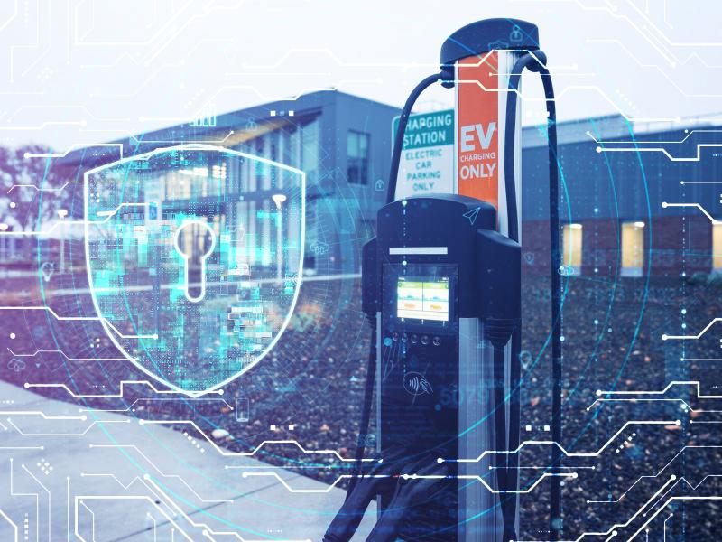
PNNL recently hosted a training exercise that immersed the U.S. Coast Guard 2013 Cyber Protection Team in a lifelike simulation of a cyberattack on a U.S. port terminal.
Due to their inherent variability and complexity over space and time, scientists are challenged to understand the complex interactions among soil, vegetation, and water along coastal terrestrial-aquatic interfaces.
The Coastal Observations, Mechanisms, and Predictions Across Systems and Scales: Field, Measurements, and Experiments project established a network of observational field sites across Chesapeake Bay and western Lake Erie.