The Center for Understanding Subsurface Signals and Permeability (CUSSP) Energy Earthshot Research Center (EERC) is working to develop the ability to predict and control fluid flow through fracture networks in enhanced geothermal systems.
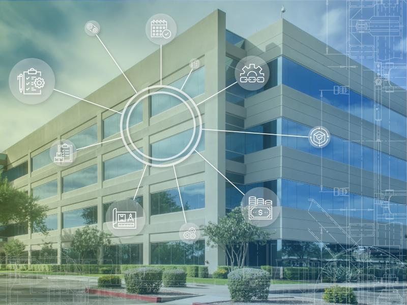
PNNL’s pioneering CETC project with regional universities demonstrates transactive controls among multiple commercial buildings and devices for energy efficiency and grid reliability.
PNNL is helping communities with significant historical ties to fossil energy understand opportunities and pursue numerous federal resources available to support coal power plant redevelopment.
Pacific Northwest National Laboratory, supported by the Department of Energy’s Grid Deployment Office, is leading a technical assistance initiative to help utilities test and deploy alternate GPS timing solutions.
The Computational and Theoretical Chemistry Institute (CTCI) aspires to establish a premier international center for chemistry and materials science software at extreme scales.
E4D is a 3D geophysical modeling and inversion program designed for subsurface imaging and monitoring using static and time-lapse electrical resistivity tomography (ERT), spectral induced polarization (SIP) and travel-time tomography data.
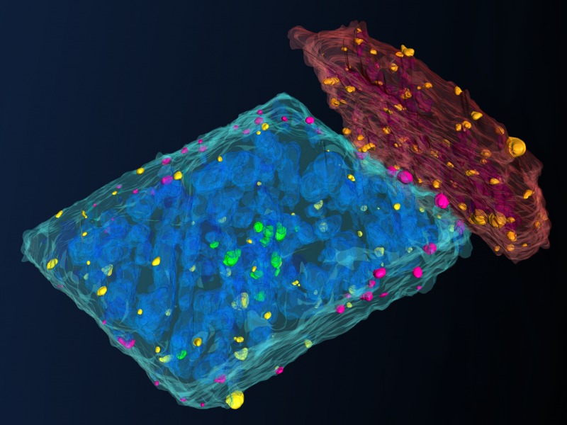
PNNL is a leader in the integration of aberration-corrected electron microscopy, in-situ techniques, and atom probe tomography to address challenges in nuclear materials, environmental remediation, energy storage, and national security.
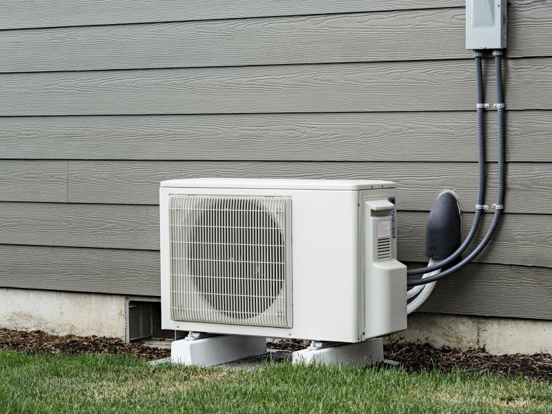
PNNL and collaborators have established a national heat pump and heat pump water heater partnership to help drive adoption of these energy-saving technologies in both residential and commercial buildings.
The Institute for Integrated Catalysis (IIC) at Pacific Northwest National Laboratory explores and develops the chemistry and technology of catalyzed processes that enable a carbon-neutral future.
PNNL is a testbed for the latest research and technologies in marine carbon dioxide removal (mCDR)—leveraging the ocean’s strength as a natural carbon sink to address pressing climate concerns.
FEMP's operations and maintenance (O&M) resources offer federal agencies technology- and management-focused guidance to improve energy and water efficiency and ensure safer and more reliable operations.
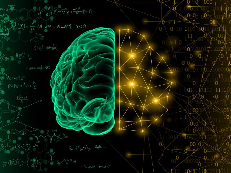
Physics-informed machine learning (PIML) is a modeling approach that harnesses the power of machine learning and big data to improve the understanding of coupled, dynamic systems.
PNNL is working on behalf of the U.S. Department of Energy to create a prototype system that enables homes to help provide services to the power grid while delivering economic benefits to residents.