Pacific Northwest National Laboratory partnered with the Treasury and Amazon Web Services to develop Cache, a cloud-based tool that allows the Treasury’s disparate data to be easily searched, translated, extracted, linked, and analyzed.
E4D is a 3D geophysical modeling and inversion program designed for subsurface imaging and monitoring using static and time-lapse electrical resistivity tomography (ERT), spectral induced polarization (SIP) and travel-time tomography data.
From global issues such as melting permafrost and the creation of alternate biofuels to matters affecting microbiomes and micro-sized life, PNNL research is featured in news publications worldwide.
GeoBOSS is a software library that combines the data-handling capabilities of Spark and the user-friendliness of Python to simplify geospatial analytics and the transition between small-scale research and large-scale operational projects.
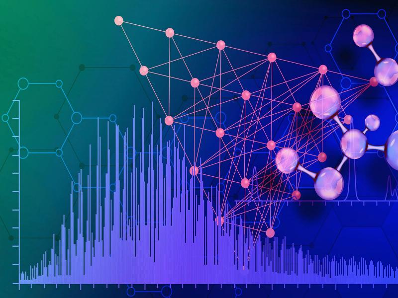
PNNL is heavily engaged in the development and use of mass spectrometry technology across its science, energy, and security missions, from fundamental research through mature operational capabilities.
PNNL is a testbed for the latest research and technologies in marine carbon dioxide removal (mCDR)—leveraging the ocean’s strength as a natural carbon sink to address pressing climate concerns.
The Molecular Observation Network is a national open science network designed to produce a comprehensive database of molecular and microstructural information on soil, water, microbial communities, and biogenic emissions.
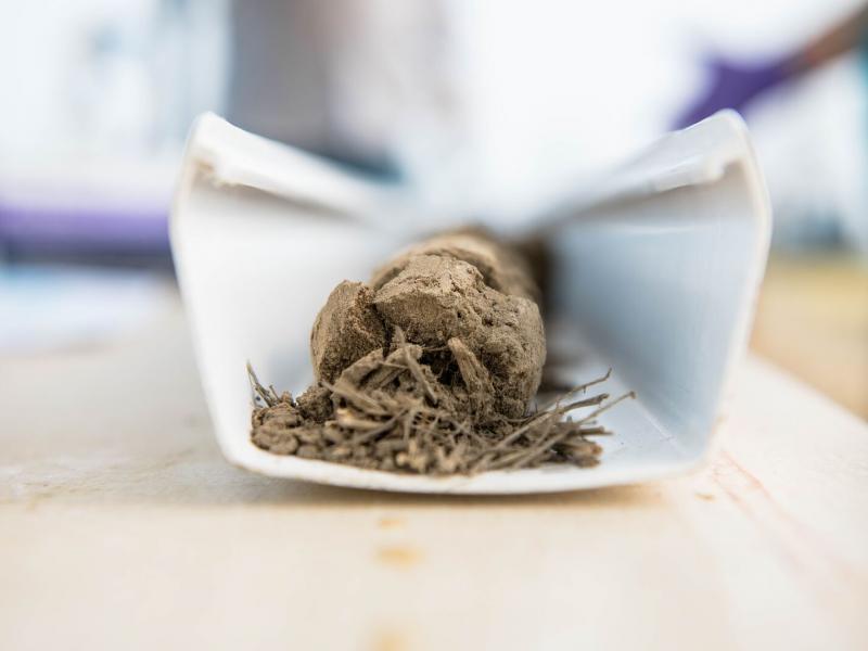
PNNL's River Corridor Hydrobiogeochemistry Scientific Focus Area works to transform understanding of spatial and temporal dynamics in river corridor hydrobiogeochemical functions from molecular reaction to watershed and basin scales.
Powered by few-shot learning, the Sharkzor AI-driven, scalable web application makes it possible to quickly characterize and sort electron microscopy images used to analyze radioactive materials.
STOMP is a suite of numerical simulators for solving problems involving coupled flow and transport processes in the subsurface. The suite of STOMP simulators is distinguished by application areas and solved mathematical equations.