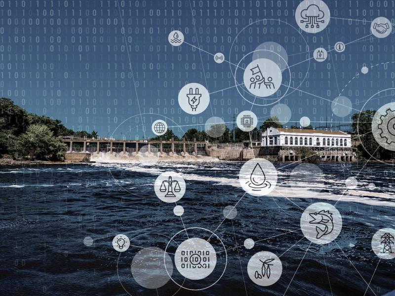
PNNL is leading the nation with research addressing urgent needs for reimagining U.S. critical infrastructure against the realities of software-speed attacks and hazards.
The Community Earth atmospheric Data System (CEDS) provides historical surface flux data that are used for general analysis and also for model validation through comparisons with observations.
Cyber, physical, and blended cyber-physical threats are real, ubiquitous, and expensive to deal with. Private companies, government institutions, and critical infrastructures struggle to implement viable solutions as technology evolves.
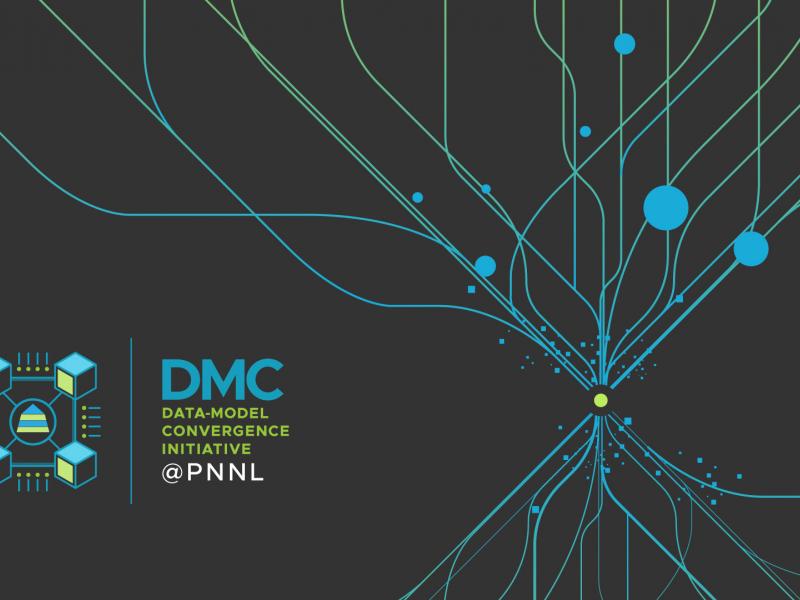
The Data-Model Convergence (DMC) Initiative is a multidisciplinary effort to create the next generation of scientific computing capability through a software and hardware co-design methodology.
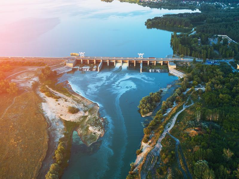
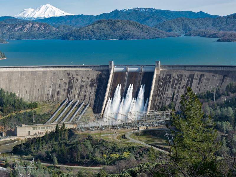
The Flow Tradeoff Tool is a free, comprehensive software toolkit designed to evaluate trade-offs between hydropower energy production and environmental flows.
GeoBOSS is a software library that combines the data-handling capabilities of Spark and the user-friendliness of Python to simplify geospatial analytics and the transition between small-scale research and large-scale operational projects.