Pacific Northwest National Laboratory partnered with the Treasury and Amazon Web Services to develop Cache, a cloud-based tool that allows the Treasury’s disparate data to be easily searched, translated, extracted, linked, and analyzed.
RemPlex provides a global forum committed to fostering technical leadership, collaborative research, and professional development that facilitates the cost-effective remediation of complex sites.
The Center for Understanding Subsurface Signals and Permeability (CUSSP) Energy Earthshot Research Center (EERC) is working to develop the ability to predict and control fluid flow through fracture networks in enhanced geothermal systems.
E4D is a 3D geophysical modeling and inversion program designed for subsurface imaging and monitoring using static and time-lapse electrical resistivity tomography (ERT), spectral induced polarization (SIP) and travel-time tomography data.
PNNL’s integrated software systems (FRAMES, MEPAS, MetView, APGEMS, CAPP) allow users to assess the environmental fate and transport of contaminants—and the potential impacts on humans and the environment—in a systematic, holistic approach.
From global issues such as melting permafrost and the creation of alternate biofuels to matters affecting microbiomes and micro-sized life, PNNL research is featured in news publications worldwide.
GeoBOSS is a software library that combines the data-handling capabilities of Spark and the user-friendliness of Python to simplify geospatial analytics and the transition between small-scale research and large-scale operational projects.
PNNL is a testbed for the latest research and technologies in marine carbon dioxide removal (mCDR)—leveraging the ocean’s strength as a natural carbon sink to address pressing climate concerns.
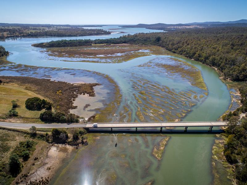
PNNL's Ocean Dynamics Modeling group studies coastal processes such as marine-hydrokinetic energy, coastal circulations, storm surge and extreme waves, tsunamis, sediment transport and nutrient-macroalgal dynamics.
PNNL has developed performance assessment guidance for remediation of volatile contaminants in the vadose zone, inorganic contaminant remediation in the vadose zone, and pump-and-treat of groundwater contaminant plumes.
PNNL's River Corridor Hydrobiogeochemistry Scientific Focus Area works to transform understanding of spatial and temporal dynamics in river corridor hydrobiogeochemical functions from molecular reaction to watershed and basin scales.
The Salish Sea Model (SSM) is a predictive coastal ocean model for estuarine research, restoration planning, water-quality management, and climate change response assessment.