Innovative cement and concrete technologies at PNNL enhance durability and performance through self-healing formulations and cost-effective, high-performance materials derived from waste, enabling more resilient, reliable infrastructure.
Energy experts at PNNL are helping 56 states and territories deliver their state energy security plans (SESPs) through a transparent and collaborative review process.
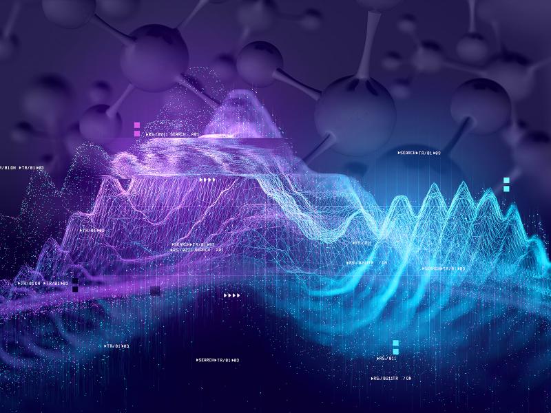
PNNL is leading the nation with research addressing urgent needs for reimagining U.S. critical infrastructure against the realities of software-speed attacks and hazards.
Cyber, physical, and blended cyber-physical threats are real, ubiquitous, and expensive to deal with. Private companies, government institutions, and critical infrastructures struggle to implement viable solutions as technology evolves.
The Center for Understanding Subsurface Signals and Permeability (CUSSP) Energy Earthshot Research Center (EERC) is working to develop the ability to predict and control fluid flow through fracture networks in enhanced geothermal systems.
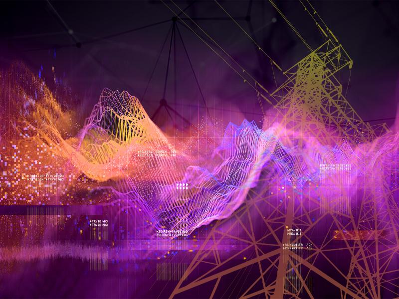
Pacific Northwest National Laboratory, supported by the Department of Energy’s Grid Deployment Office, is leading a technical assistance initiative to help utilities test and deploy alternate GPS timing solutions.
Pacific Northwest National Laboratory is partnering with the U.S. Department of Homeland Security’s Cybersecurity and Infrastructure Security Agency to develop and operate the Control Environment Laboratory Resource
Cyber networks are constantly under attack by bugs, bots, and nefarious actors. While system owners acutely understand the need to secure their networks, they’re not always sure of the best actions to take.
In January 2024, CESER—in partnership with GDO, NASEO, and PNNL—created a set of state energy security cohorts to support the coordination and technical development of state energy security planning, assessment, and mitigation.
E4D is a 3D geophysical modeling and inversion program designed for subsurface imaging and monitoring using static and time-lapse electrical resistivity tomography (ERT), spectral induced polarization (SIP) and travel-time tomography data.
PNNL is a leader in the integration of aberration-corrected electron microscopy, in-situ techniques, and atom probe tomography to address challenges in nuclear materials, environmental remediation, energy storage, and national security.
GeoBOSS is a software library that combines the data-handling capabilities of Spark and the user-friendliness of Python to simplify geospatial analytics and the transition between small-scale research and large-scale operational projects.
IrrigationViz is a visual decision-support tool that provides users with high-level estimates for irrigation modernization projects, such as concrete lining for a canal or replacing a canal with a pipeline.
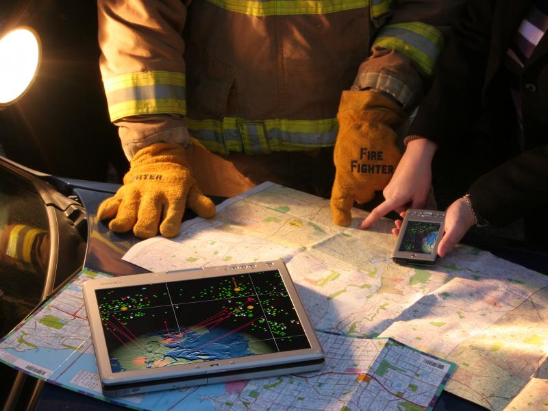
Our nation’s critical infrastructure supports the security and wellbeing of our society. Maintaining the resilience of important markets and services is vital to upholding our way of life.
The user-friendly Project Schedule Visualizer software developed at PNNL helps users readily identify and understand the impacts of updates to the schedule, budget, and risks associated with large, complex projects that cross departments.