Energy experts at PNNL are helping 56 states and territories deliver their state energy security plans (SESPs) through a transparent and collaborative review process.
The Community Earth atmospheric Data System (CEDS) provides historical surface flux data that are used for general analysis and also for model validation through comparisons with observations.
RemPlex provides a global forum committed to fostering technical leadership, collaborative research, and professional development that facilitates the cost-effective remediation of complex sites.
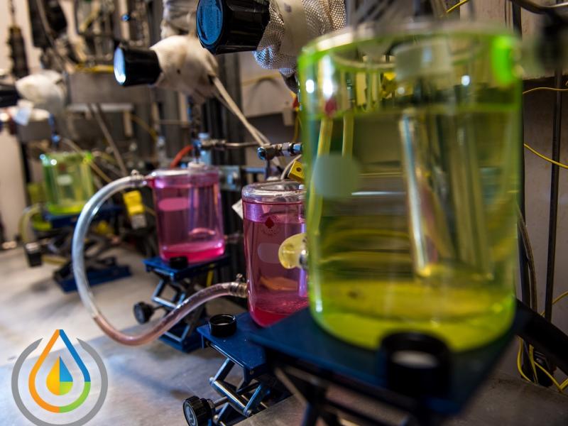
The Center for Understanding Subsurface Signals and Permeability (CUSSP) Energy Earthshot Research Center (EERC) is working to develop the ability to predict and control fluid flow through fracture networks in enhanced geothermal systems.
In January 2024, CESER—in partnership with GDO, NASEO, and PNNL—created a set of state energy security cohorts to support the coordination and technical development of state energy security planning, assessment, and mitigation.
A multi-institution research team led by PNNL is addressing curb usage management challenges in large urban areas by developing a city-scale dynamic curb use simulation tool and an open-source curb management platform.