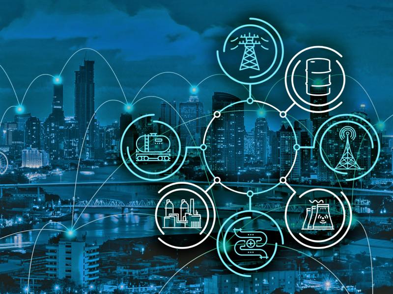
PNNL is leading the nation with research addressing urgent needs for reimagining U.S. critical infrastructure against the realities of software-speed attacks and hazards.
Cyber, physical, and blended cyber-physical threats are real, ubiquitous, and expensive to deal with. Private companies, government institutions, and critical infrastructures struggle to implement viable solutions as technology evolves.
The Center for Understanding Subsurface Signals and Permeability (CUSSP) Energy Earthshot Research Center (EERC) is working to develop the ability to predict and control fluid flow through fracture networks in enhanced geothermal systems.
PNNL’s pioneering CETC project with regional universities demonstrates transactive controls among multiple commercial buildings and devices for energy efficiency and grid reliability.
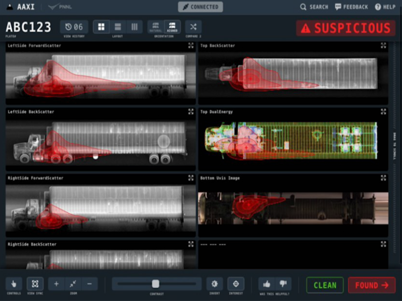
The CVAir pilot project transports computed tomography passenger baggage data from originating international airports for targeted flights destined for the U.S.
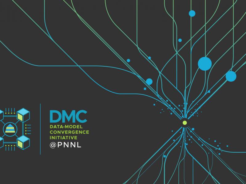
The Data-Model Convergence (DMC) Initiative is a multidisciplinary effort to create the next generation of scientific computing capability through a software and hardware co-design methodology.
E4D is a 3D geophysical modeling and inversion program designed for subsurface imaging and monitoring using static and time-lapse electrical resistivity tomography (ERT), spectral induced polarization (SIP) and travel-time tomography data.
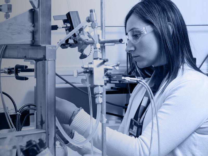
PNNL is a leader in the integration of aberration-corrected electron microscopy, in-situ techniques, and atom probe tomography to address challenges in nuclear materials, environmental remediation, energy storage, and national security.
GeoBOSS is a software library that combines the data-handling capabilities of Spark and the user-friendliness of Python to simplify geospatial analytics and the transition between small-scale research and large-scale operational projects.
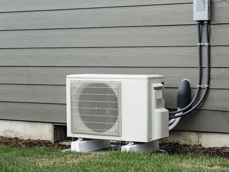
PNNL and collaborators have established a national heat pump and heat pump water heater partnership to help drive adoption of these energy-saving technologies in both residential and commercial buildings.
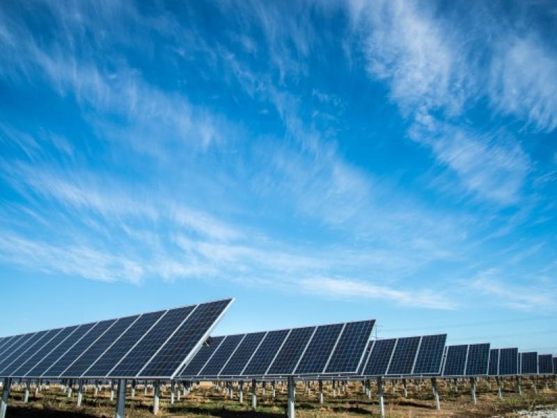
By improving the Weather Research and Forecasting (WRF)-Solar model, this project aims to reduce forecast errors, improve sub-grid scale variability estimates, and more accurately estimate forecast uncertainty.
IrrigationViz is a visual decision-support tool that provides users with high-level estimates for irrigation modernization projects, such as concrete lining for a canal or replacing a canal with a pipeline.
The Isotope Program at PNNL supports scientific advances in the production and use of radioisotopes for research, medicine, and industrial applications.