E4D is a 3D geophysical modeling and inversion program designed for subsurface imaging and monitoring using static and time-lapse electrical resistivity tomography (ERT), spectral induced polarization (SIP) and travel-time tomography data.
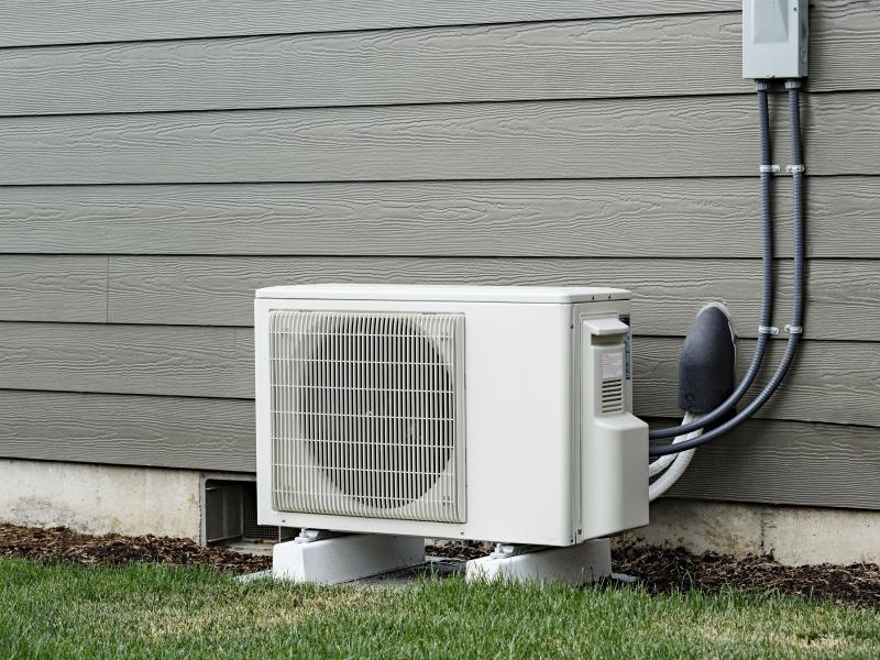
PNNL and collaborators have established a national heat pump and heat pump water heater partnership to help drive adoption of these energy-saving technologies in both residential and commercial buildings.
PNNL administers two research buoys for the U.S. Department of Energy that allows collection of wind meteorological and oceanographic data off the nation's coasts.
PNNL is a testbed for the latest research and technologies in marine carbon dioxide removal (mCDR)—leveraging the ocean’s strength as a natural carbon sink to address pressing climate concerns.
PNNL and the United States Geological Survey are partnering to develop a buoy-based radar system capable of measuring bird and bat abundances and behaviors at offshore locations.
STOMP is a suite of numerical simulators for solving problems involving coupled flow and transport processes in the subsurface. The suite of STOMP simulators is distinguished by application areas and solved mathematical equations.
The UNSAT-H computer code is used to understand the movement of water, heat, and vapor in soils so more informed decisions can be made about land use, waste disposal, and climate change.
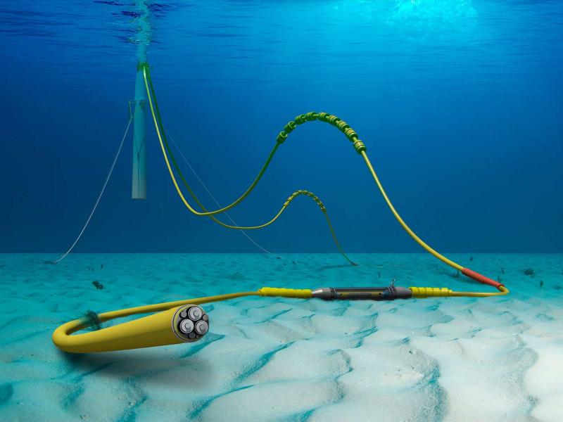
PNNL wind energy experts led a project to review existing literature focusing on the technical evaluation of offshore wind energy transmission through potential points of interconnection at the West Coast.