The Nereus Project aims to collect and analyze comprehensive environmental monitoring data around operational marine energy sites and devices in the United States.
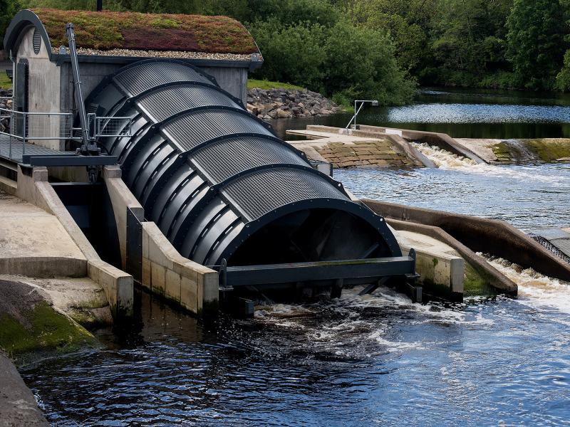
PNNL's Ocean Dynamics Modeling group studies coastal processes such as marine-hydrokinetic energy, coastal circulations, storm surge and extreme waves, tsunamis, sediment transport and nutrient-macroalgal dynamics.
PNNL and the United States Geological Survey are partnering to develop a buoy-based radar system capable of measuring bird and bat abundances and behaviors at offshore locations.
The Pacific Northwest National Laboratory is developing a Port Electrification Handbook—a reference to aid maritime ports nationwide in their clean energy transition.
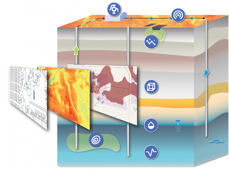
PNNL has developed performance assessment guidance for remediation of volatile contaminants in the vadose zone, inorganic contaminant remediation in the vadose zone, and pump-and-treat of groundwater contaminant plumes.
PNNL's River Corridor Hydrobiogeochemistry Scientific Focus Area works to transform understanding of spatial and temporal dynamics in river corridor hydrobiogeochemical functions from molecular reaction to watershed and basin scales.
The Suite Of Comprehensive Rapid Analysis Tools for Environmental Sites online tools provide rapid data analytics and visualization of environmental data supporting remedy decisions, optimization, and exit strategies.
STOMP is a suite of numerical simulators for solving problems involving coupled flow and transport processes in the subsurface. The suite of STOMP simulators is distinguished by application areas and solved mathematical equations.
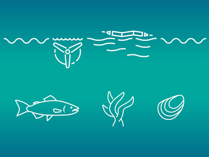
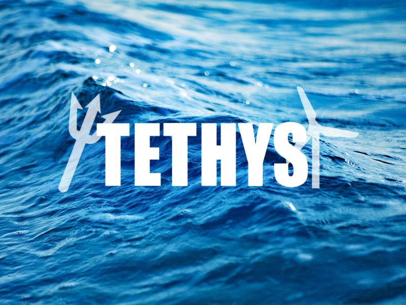
PNNL researchers developed and manage the online database Tethys to actively collects and curates information on the environmental effects of wind and marine energy.
The TRAC web tool displays the environmental remediation status—and metrics about progress toward closure—for cleanup sites overseen by the DOE Office of Environmental Management.
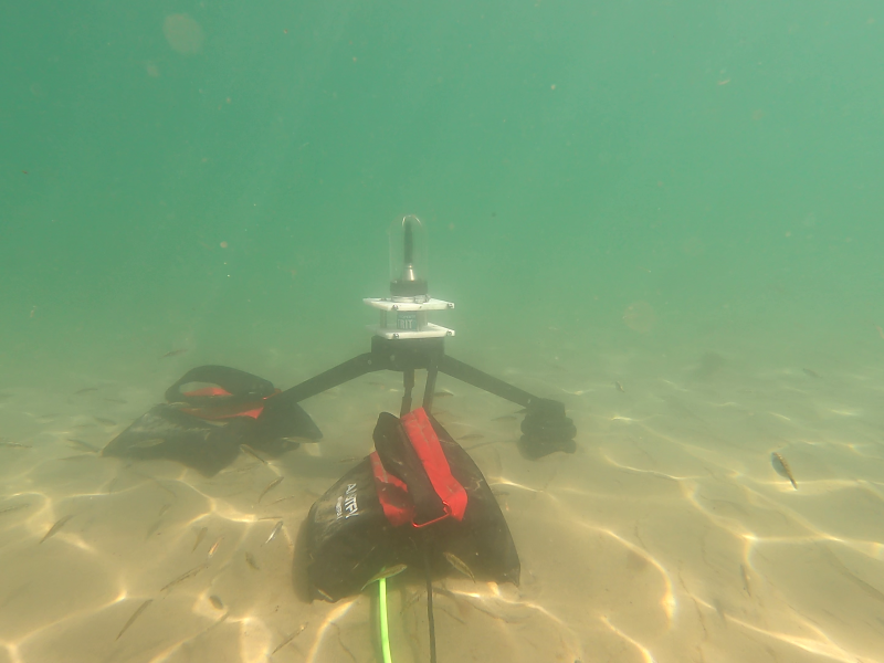
Triton aims to reduce barriers to deployment of marine energy devices through research and advancement of environmental monitoring tools and methodologies.