The TRAC web tool displays the environmental remediation status—and metrics about progress toward closure—for cleanup sites overseen by the DOE Office of Environmental Management.
The UNSAT-H computer code is used to understand the movement of water, heat, and vapor in soils so more informed decisions can be made about land use, waste disposal, and climate change.
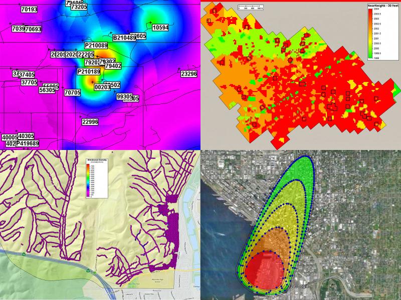
Visual Sample Plan (VSP) is a software tool that supports the development of a defensible sampling plan based on statistical sampling theory and the statistical analysis of sample results to support confident decision making.
The Water Cycle and Climate Extremes Modeling (WACCEM) Scientific Focus Area advances predictive understanding of water cycle variability and change through foundational research using models, observations, and novel numerical experiments.
WHONDRS is a research consortium aiming to understand coupled hydrologic, biogeochemical, and microbial function within river corridors. They emphasize increasing accessibility of resources and knowledge throughout the research life cycle.