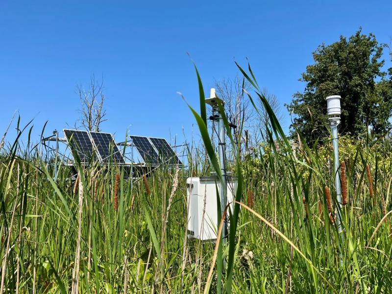
Newly designed sensor network comprehensively monitors a range of coastal landscapes to better understand nutrient and elemental dynamics that drive ecosystem function.
Tracking water age using a new precipitation tagging method within a hydrologic model generates key information to support hydropower energy and other water-dependent systems.
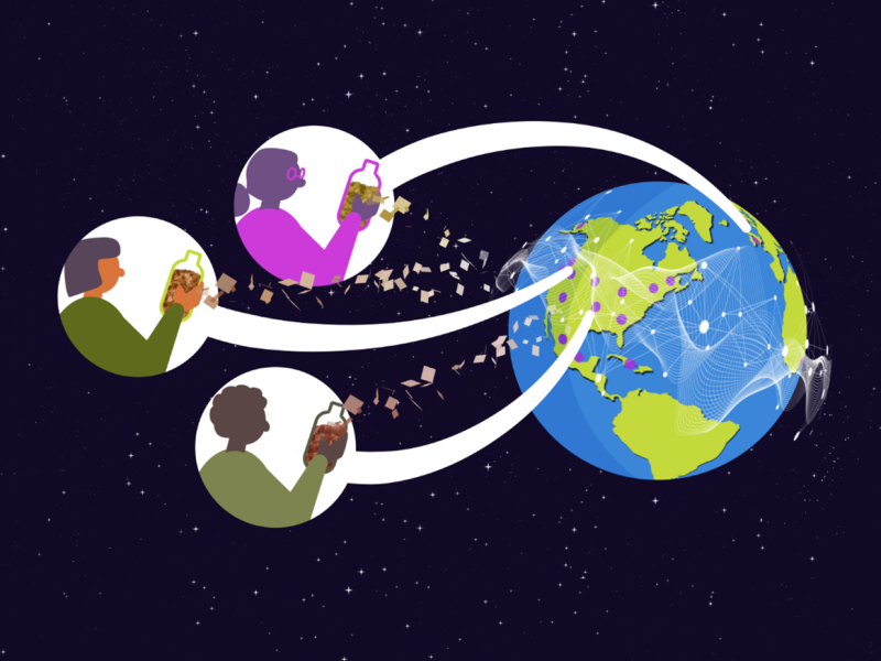
Distributed science is thriving at PNNL, where scientists share data and collaborate with researchers around the world to increase the impact of the work.
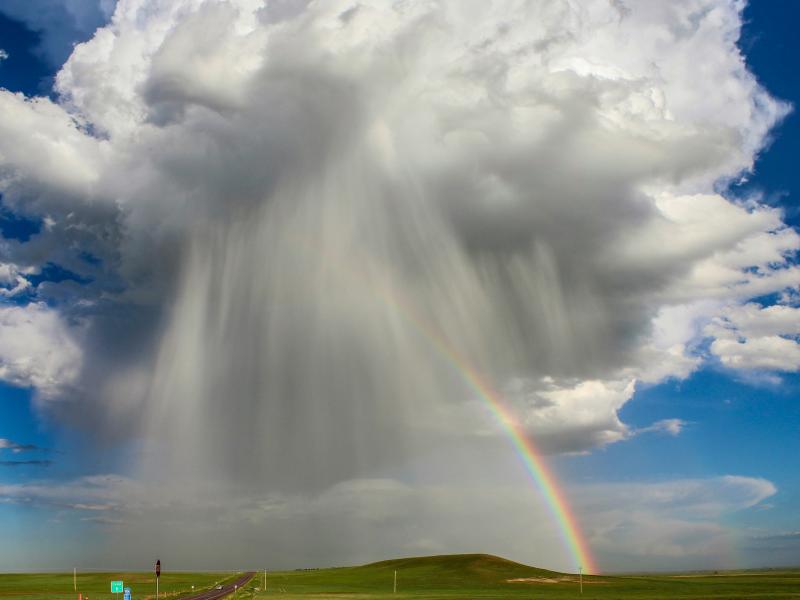
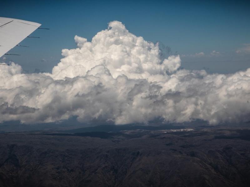
The ability of a storm-resolving weather model to predict the growth of storms over central Argentina was evaluated with data from the Clouds, Aerosols, and Complex Terrain Interactions (CACTI) field campaign in central Argentina.
Atmospheric aerosol particles modulate climate and the Earth’s energy balance by scattering and absorbing sunlight. They also seed clouds, acting as cloud condensation nuclei.
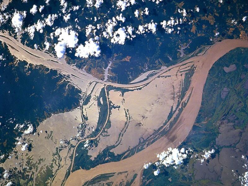
High-resolution hydrodynamic-sediment modeling shows that inundation, suspended sediment concentration in the Amazon River, and floodplain hydrodynamics drive sediment deposition in Amazonian floodplains.
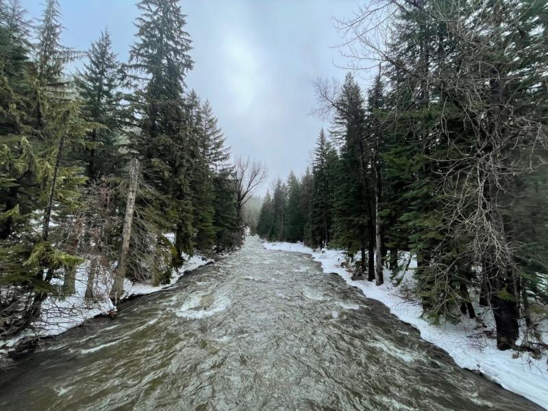
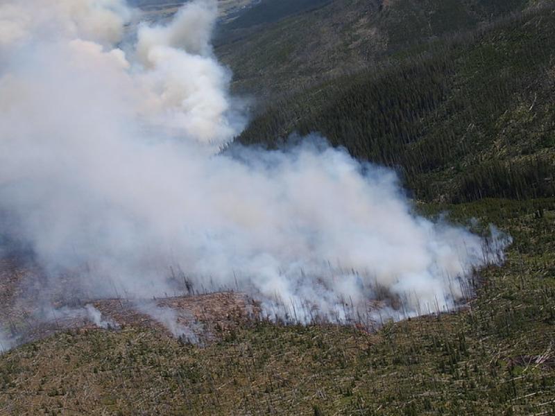
This study used historical data, remote sensing, and aquatic sensors to measure how far wildfire impacts propagated through the watershed after the 2022 Hermit’s Peak/Calf Canyon fire, New Mexico’s largest wildfire in history.
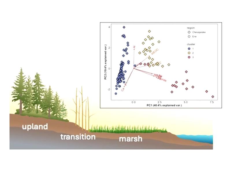
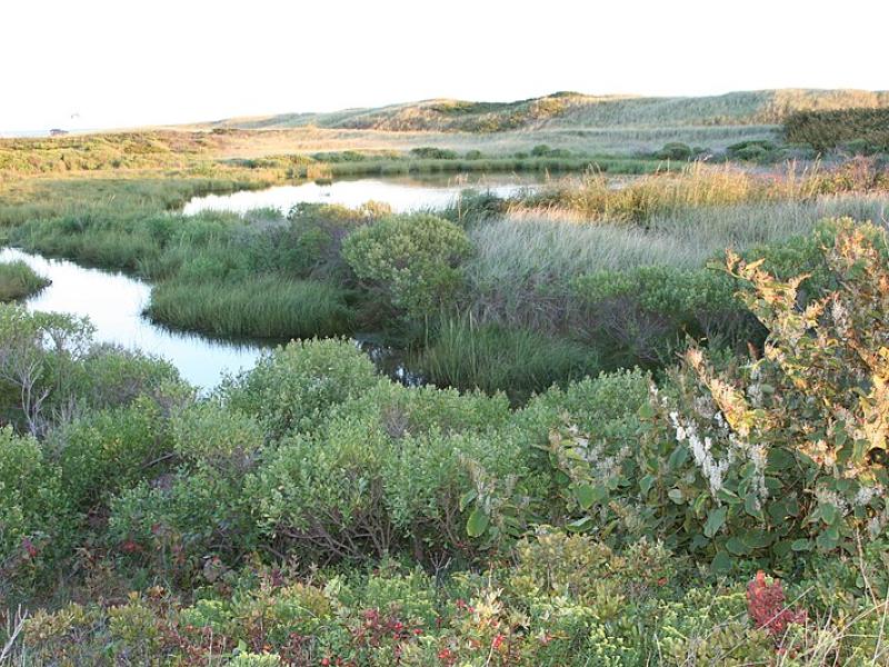
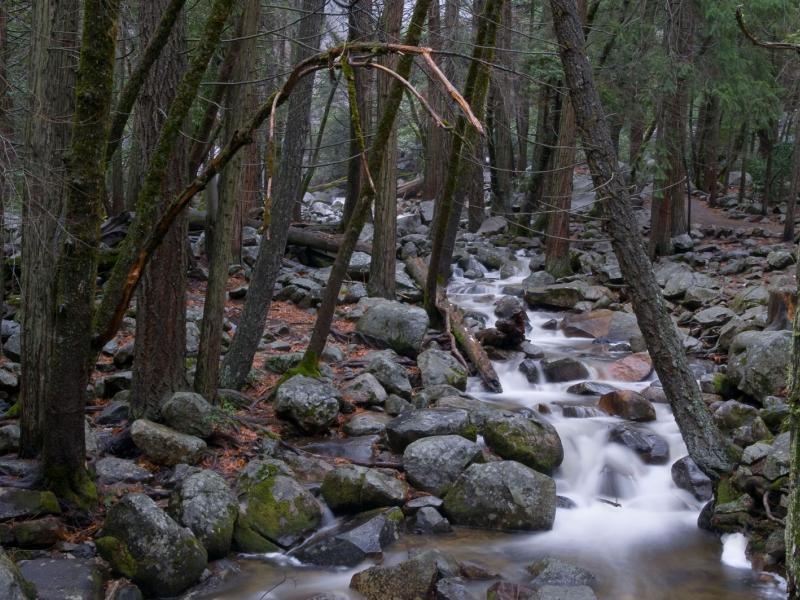
Due to their inherent variability and complexity over space and time, scientists are challenged to understand the complex interactions among soil, vegetation, and water along coastal terrestrial-aquatic interfaces.
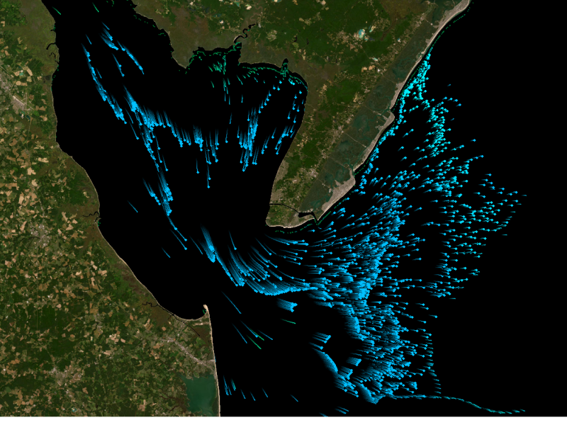
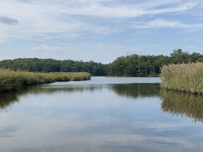
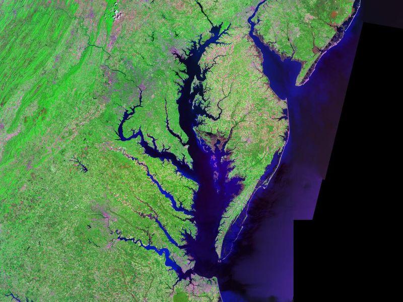
The Coastal Observations, Mechanisms, and Predictions Across Systems and Scales: Field, Measurements, and Experiments project established a network of observational field sites across Chesapeake Bay and western Lake Erie.
This study characterized above- and below-ground properties to explore the spatial heterogeneity of the terrestrial aquatic interface ecosystem within the Chesapeake Bay area and evaluate the major drivers of soil respiration.
Extensive in situ and remote sensing measurements were collected to address data gaps and better understand the interactions of convective clouds and the surrounding environment.
To assess the impact of observation period and gauge location, model parameters were learned on scenarios using different chunks of streamflow observations.
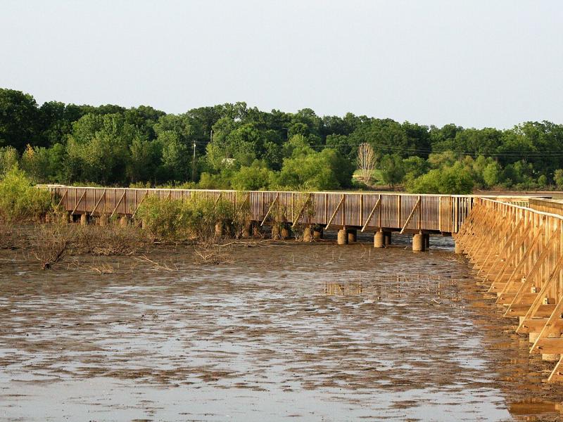
PNNL scientist James Stegen and an international team of collaborators recently published a comprehensive review of variably inundated ecosystems (VIEs).