A theoretical index linking precipitation and atmospheric evaporative demand explains historical land humidity changes across observations, reanalyses, and climate models.
Observations, reanalysis, and E3SMv3 experiments linked inter-annual variability of Congo Basin surface temperature to the zonal position of precipitation over the Indo-Pacific maritime continent region.
Watershed-based representation discretized into topographic subgrid units better captured small-scale land cover, precipitation, temperature, and snow variability across multiple spatial scales.
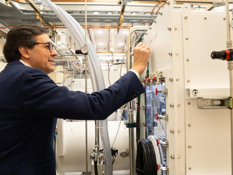
PNNL has developed a next-generation electrical resistivity tomography system for DOE that uses E4D software and AI-enhanced modeling to produce real-time subsurface images that help guide environmental remediation decisions.
Replacing commercial acid with acidic waste enables researchers to improve nickel extraction efficiency, lower projected costs, and improve process economics.
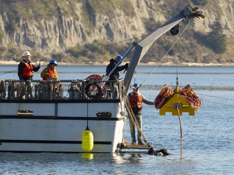
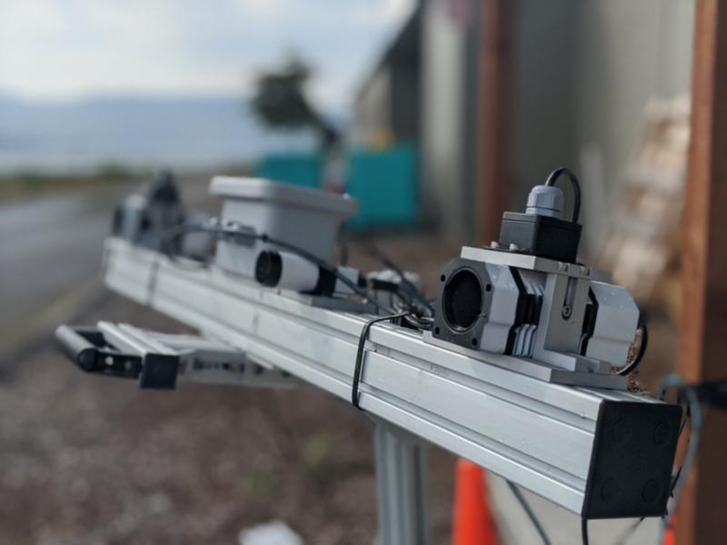
Connecting energy generation, electricity storage, and using sensors and control software to track load, including precommercial market marine energy generation technologies.
From developing new energy storage materials to revealing patterns of Earth’s complex systems, studies led by PNNL researchers are recognized for their innovation and influence.
The ability of a storm-resolving weather model to predict the growth of storms over central Argentina was evaluated with data from the Clouds, Aerosols, and Complex Terrain Interactions (CACTI) field campaign in central Argentina.
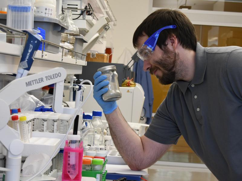
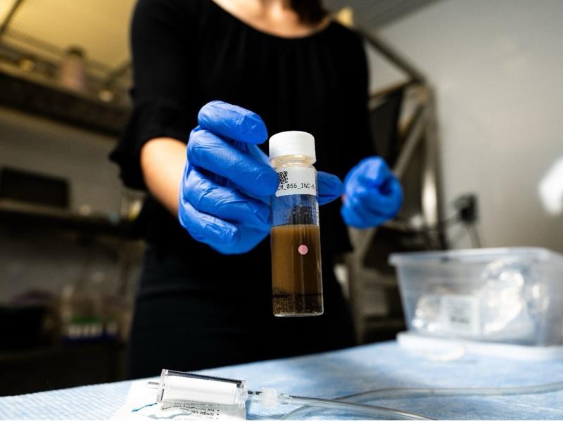
Researchers from PNNL and Parallel Works, Inc., applied machine learning methods to predict how much oxygen and nutrients are used by microorganisms in river sediments.